• Home
  • All Blog Posts
  • Long Trails
    • The PCT
    • The Colorado Trail
  • About
  • Trip Itineraries
  • Contact
Hopeless Wanderer
  • Home
  • All Blog Posts
  • Long Trails
    • The PCT
    • The Colorado Trail
  • About
  • Trip Itineraries
  • Contact

Stories From the Trail

Photos from the trail

The Aftermath

1/3/2022

1 Comment


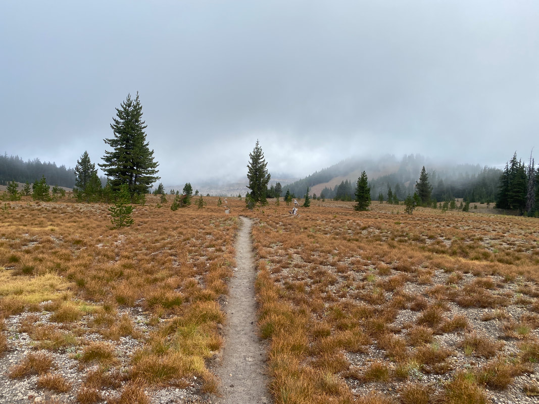
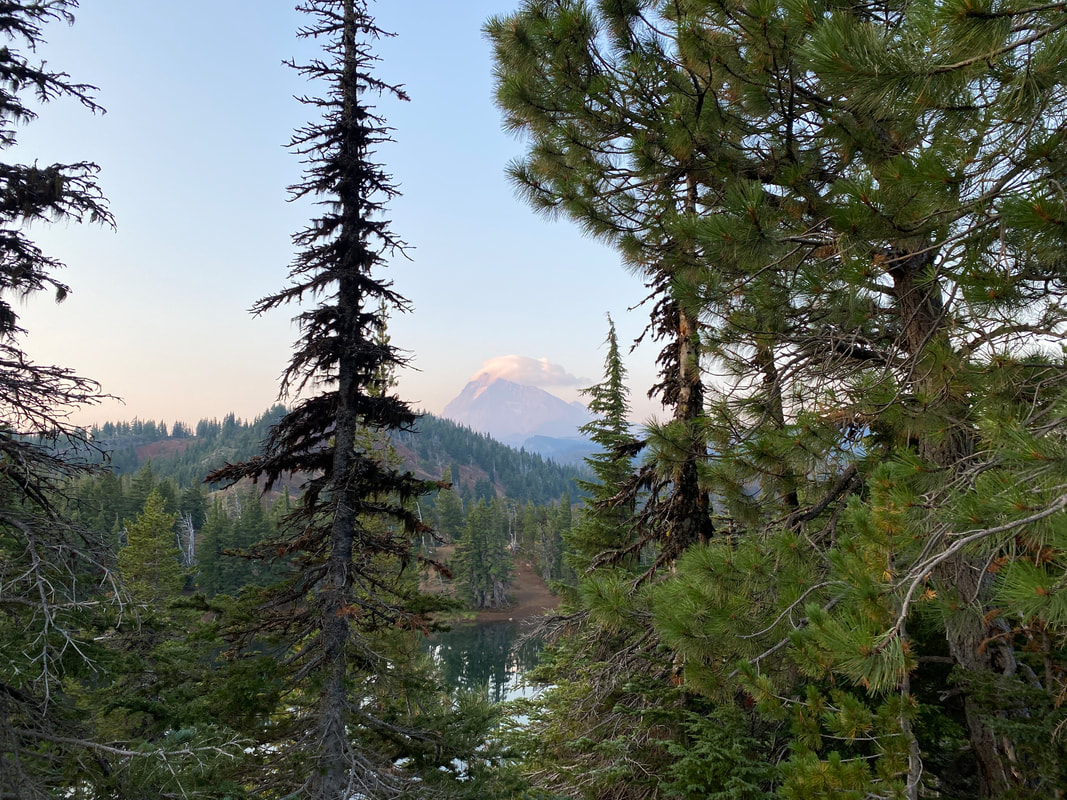
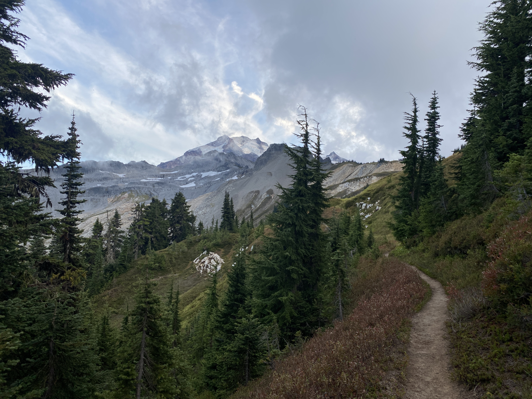
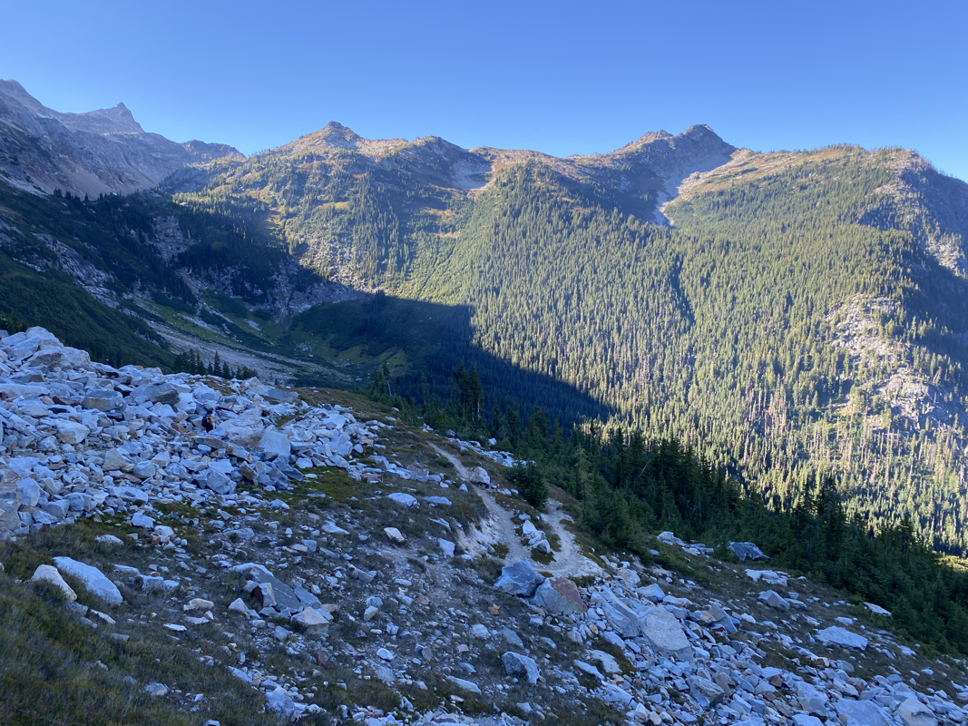
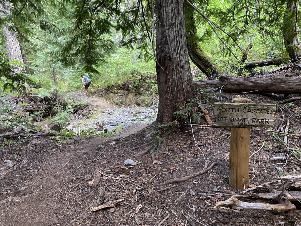
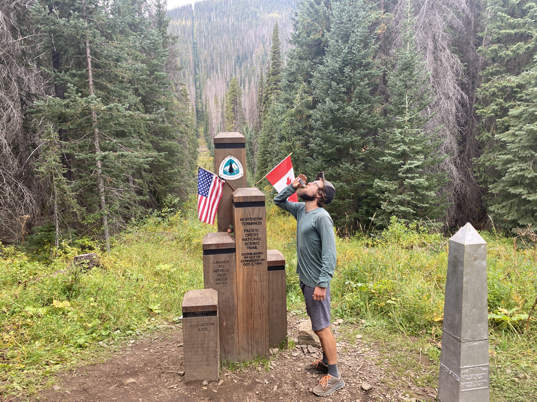
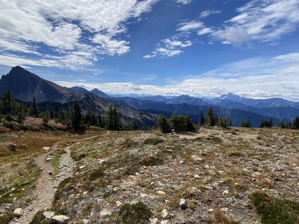
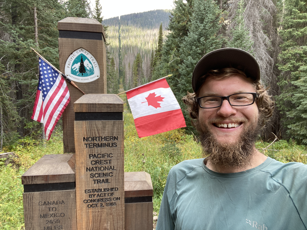
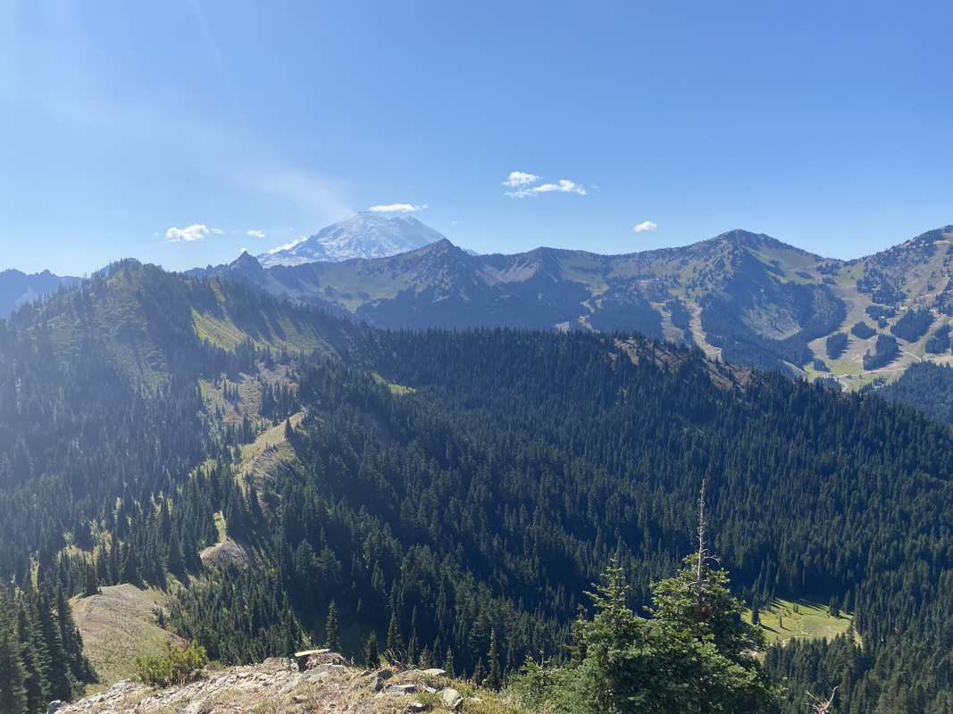
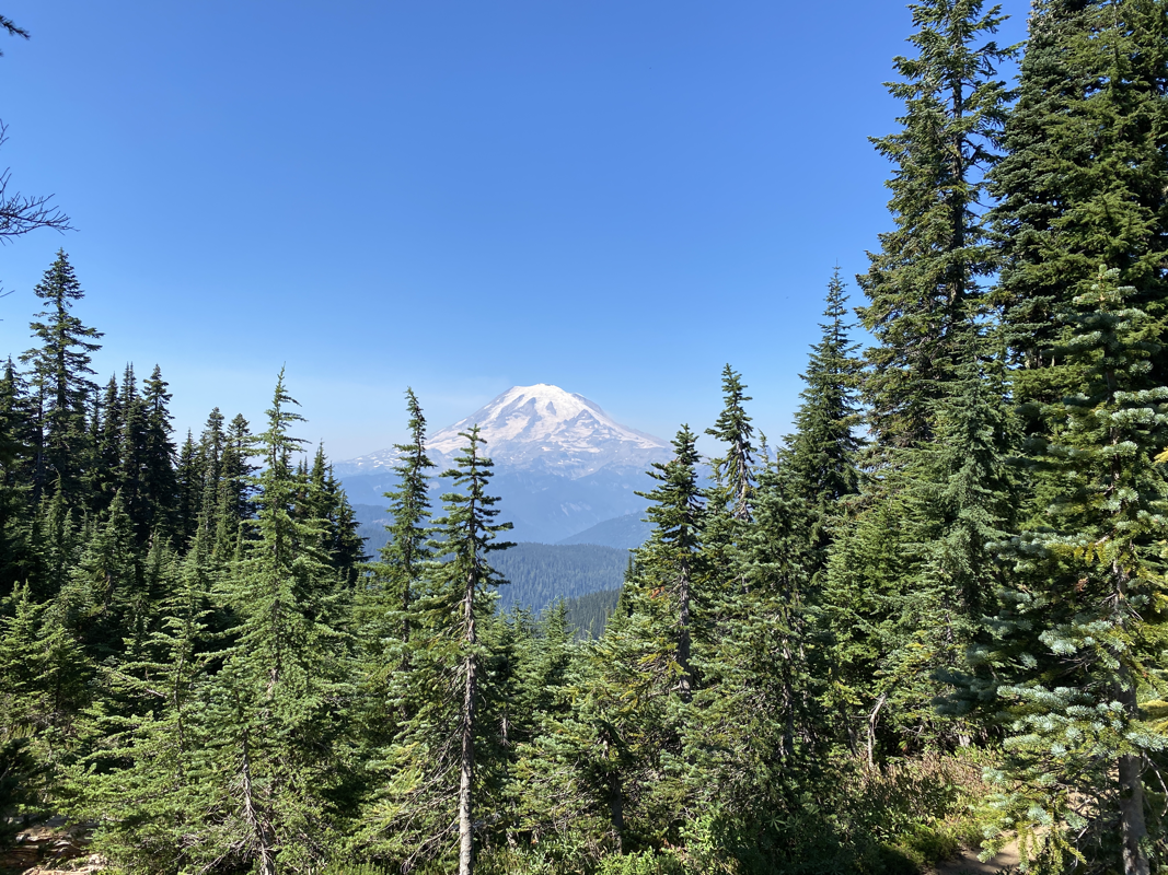
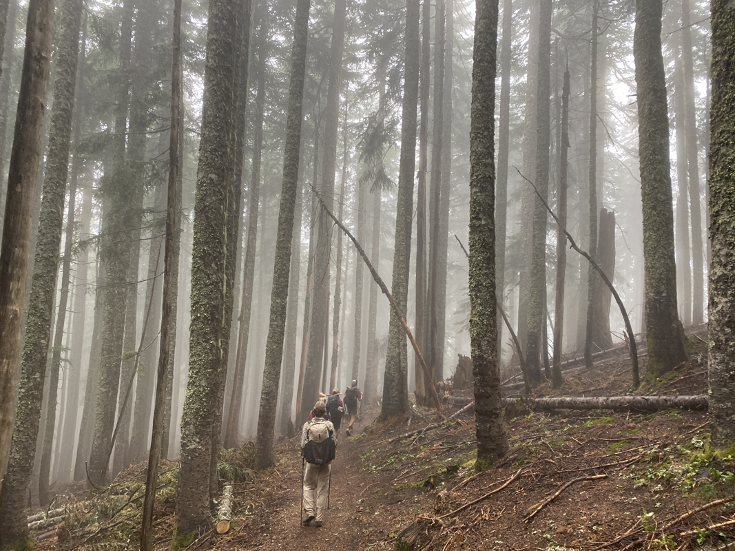
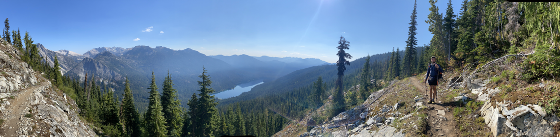
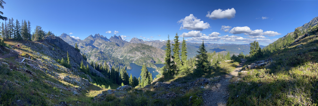
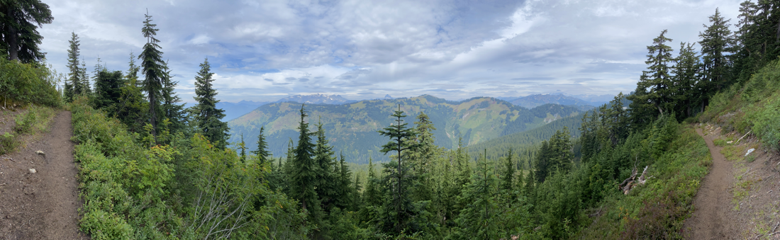
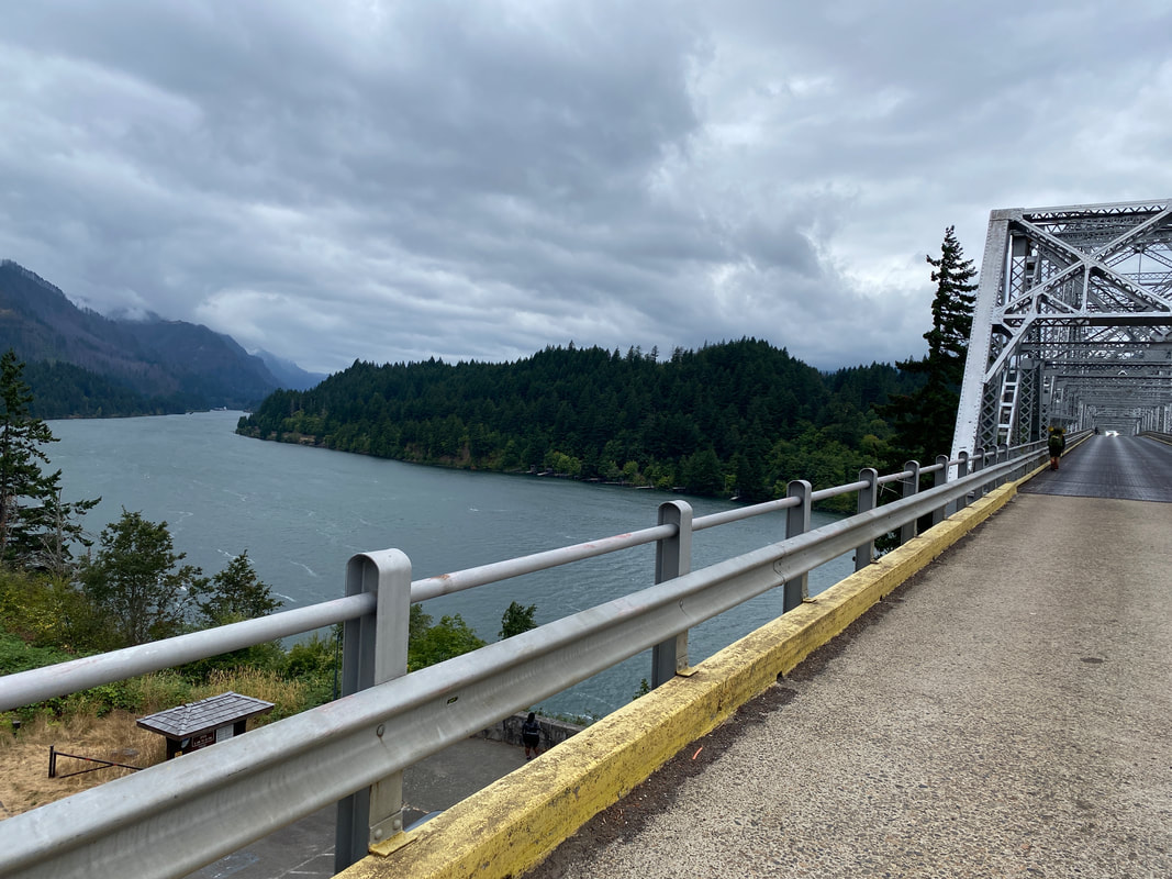
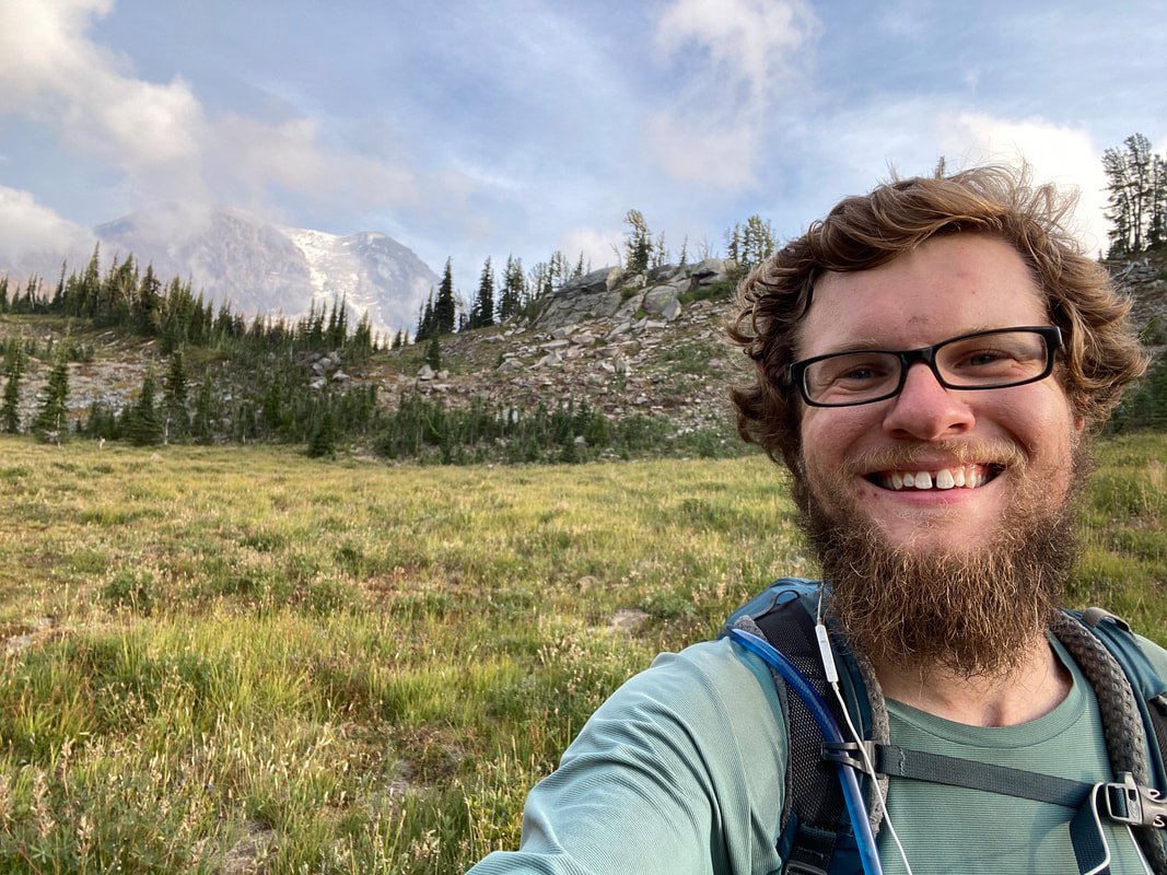
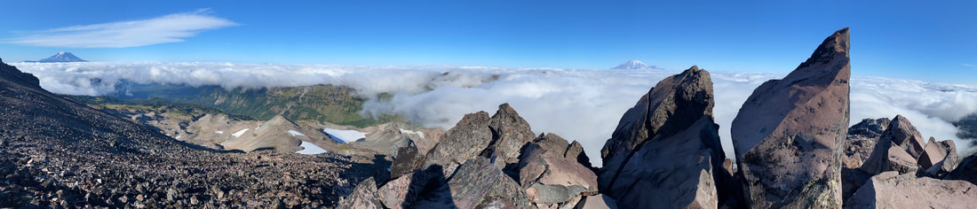
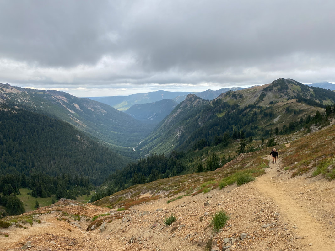
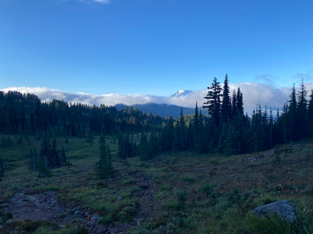
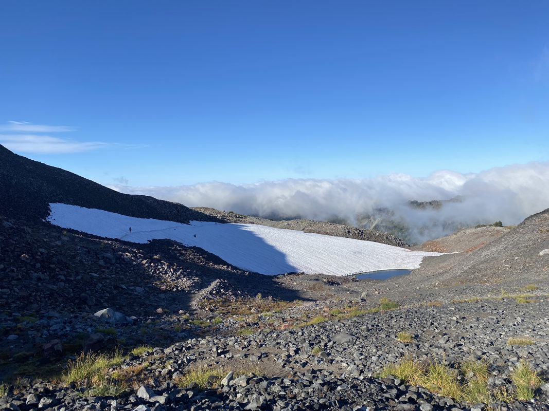
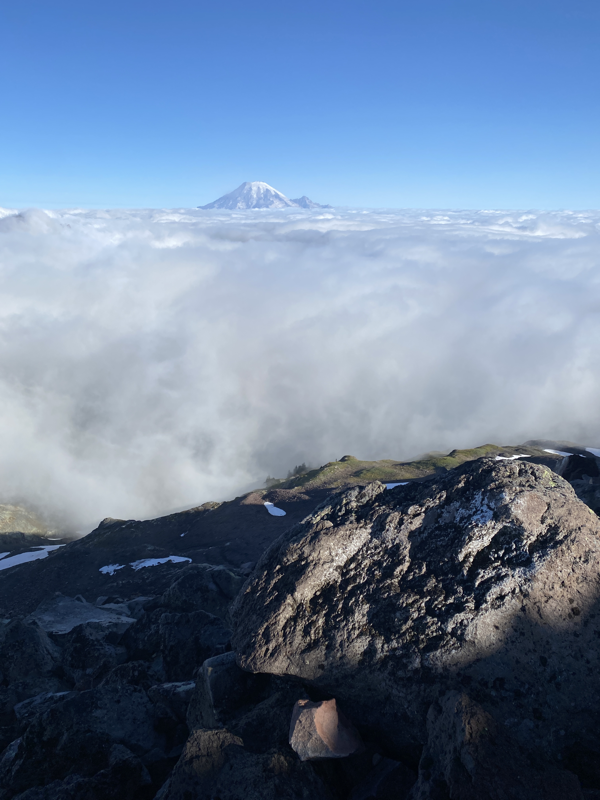
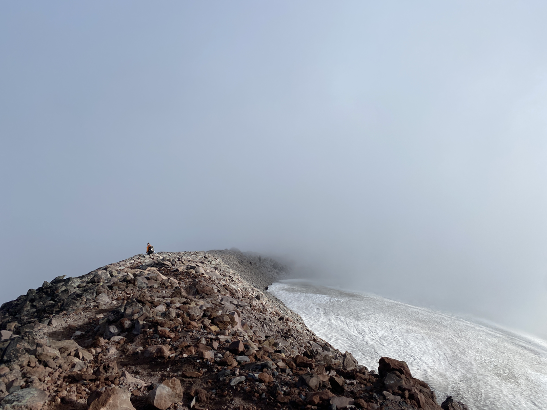
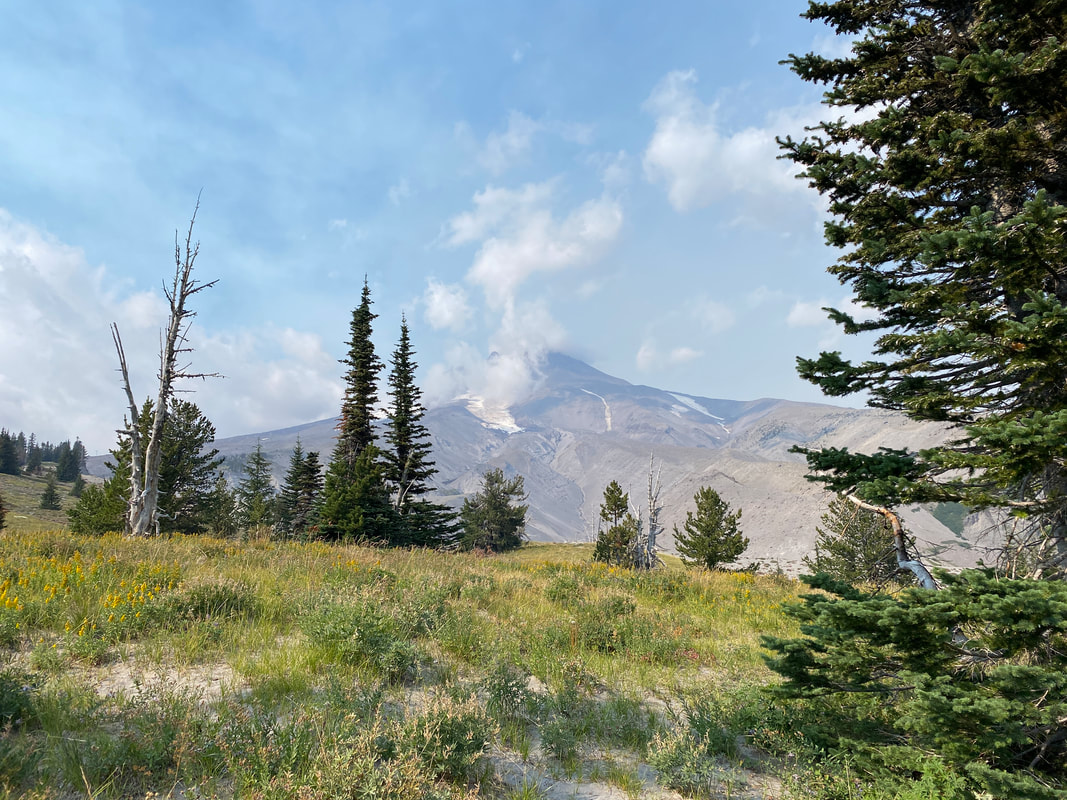
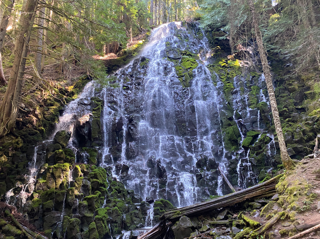
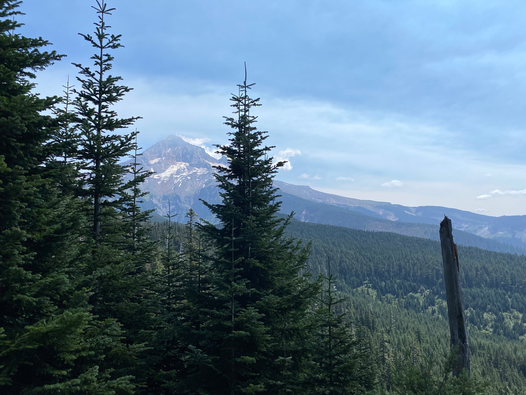
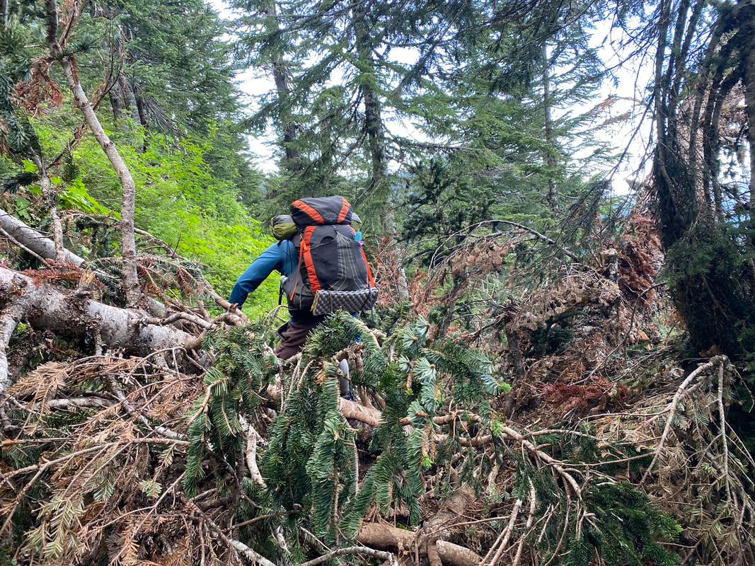
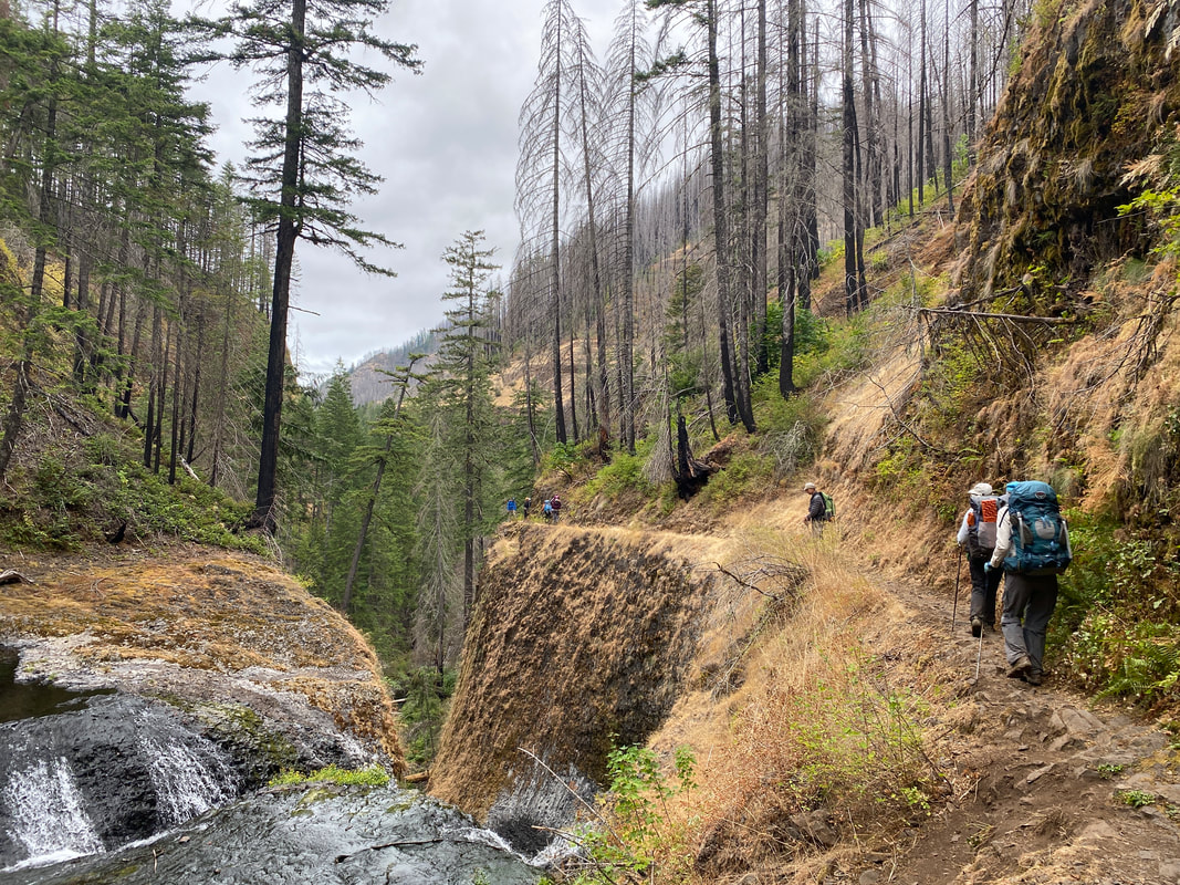
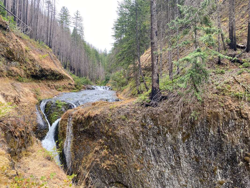
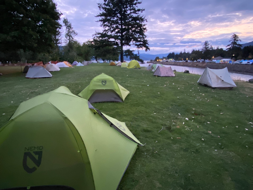
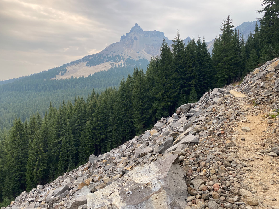
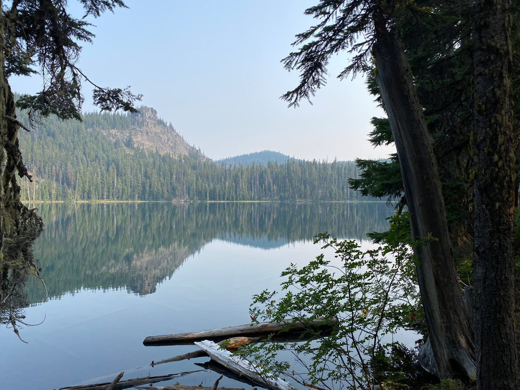
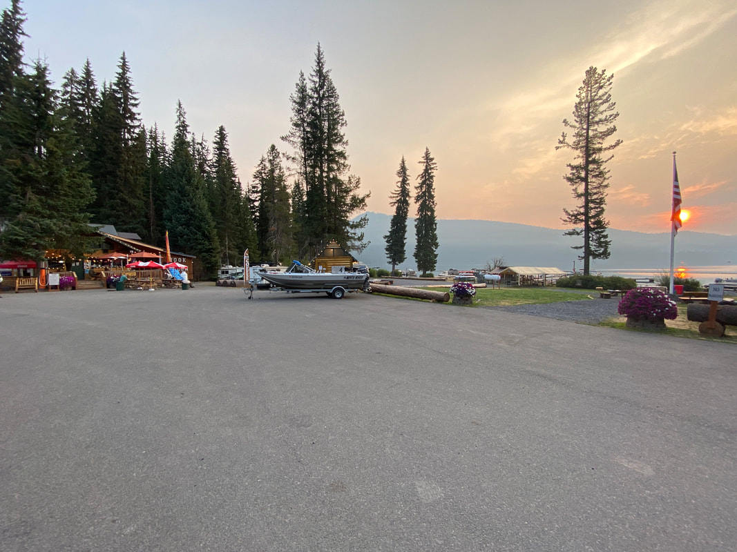
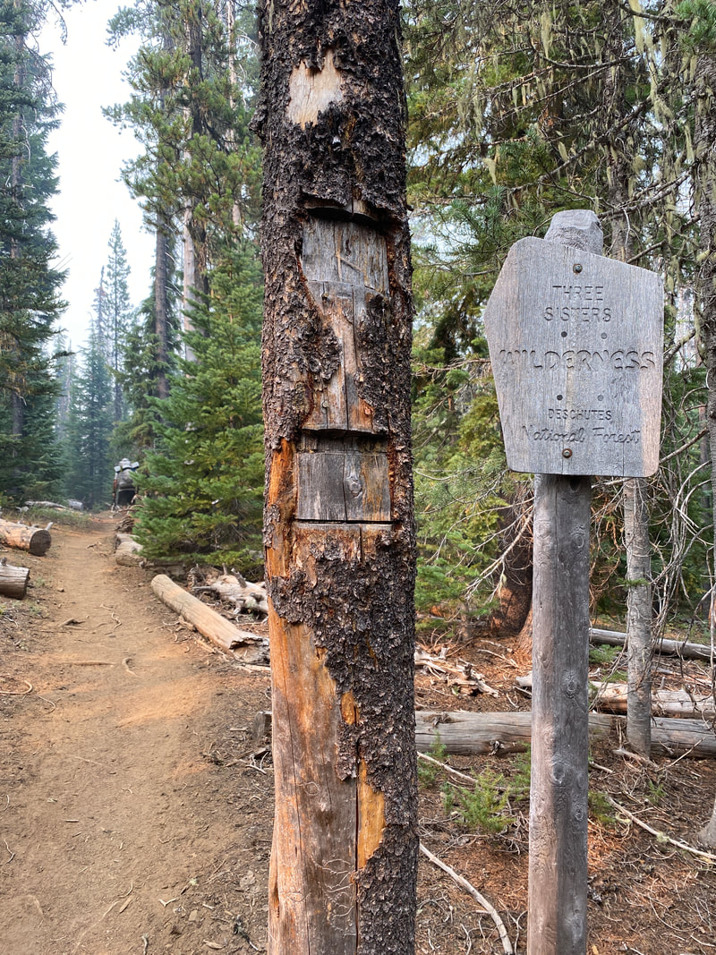
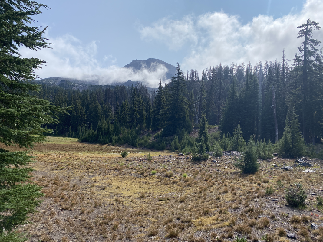
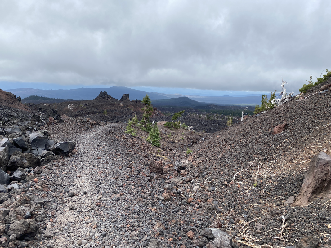
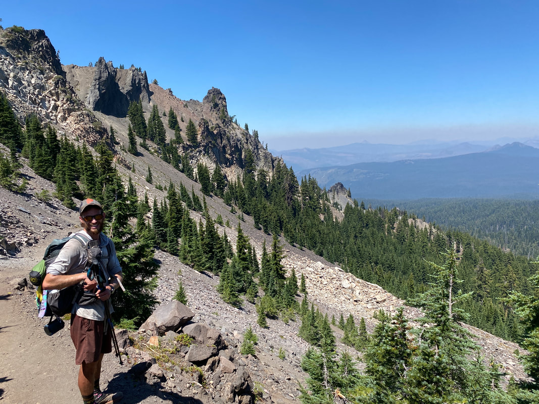
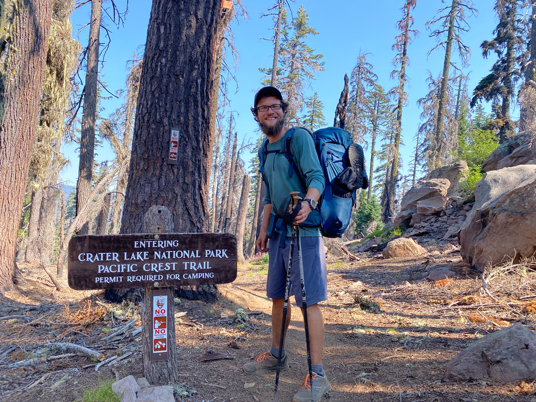
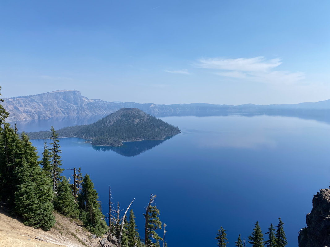
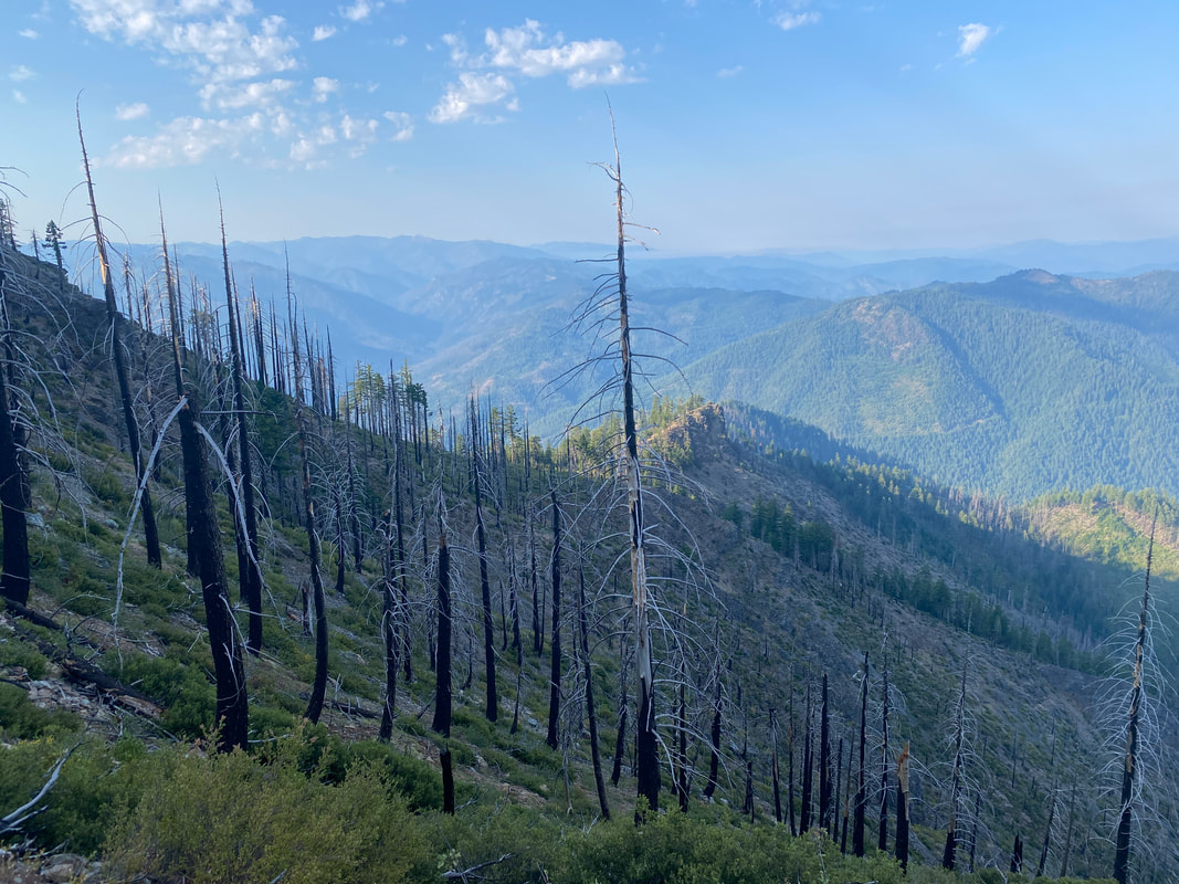
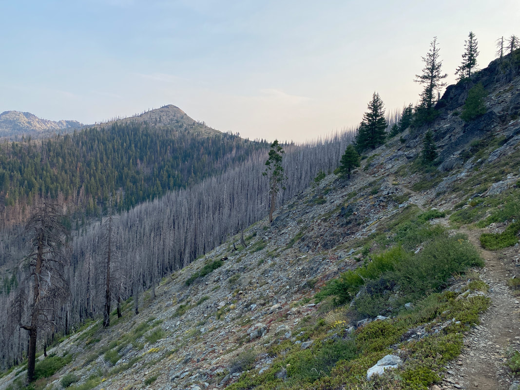
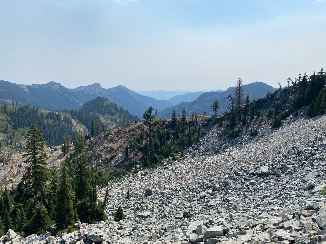
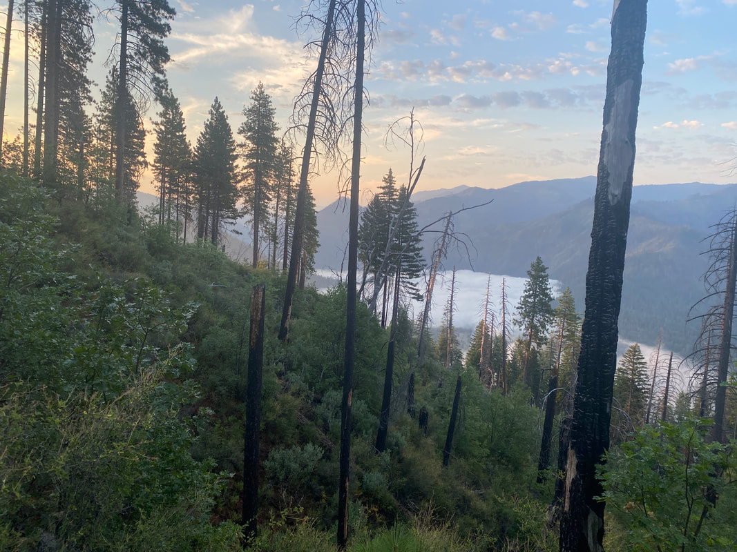
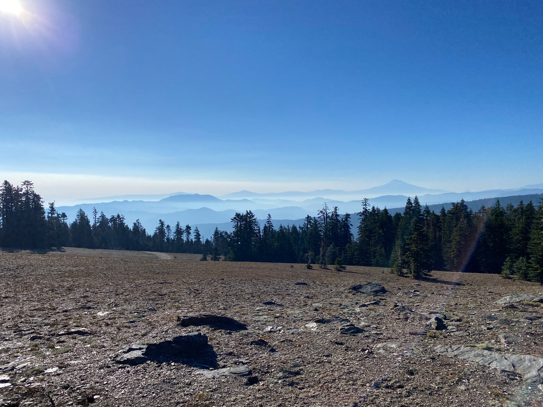
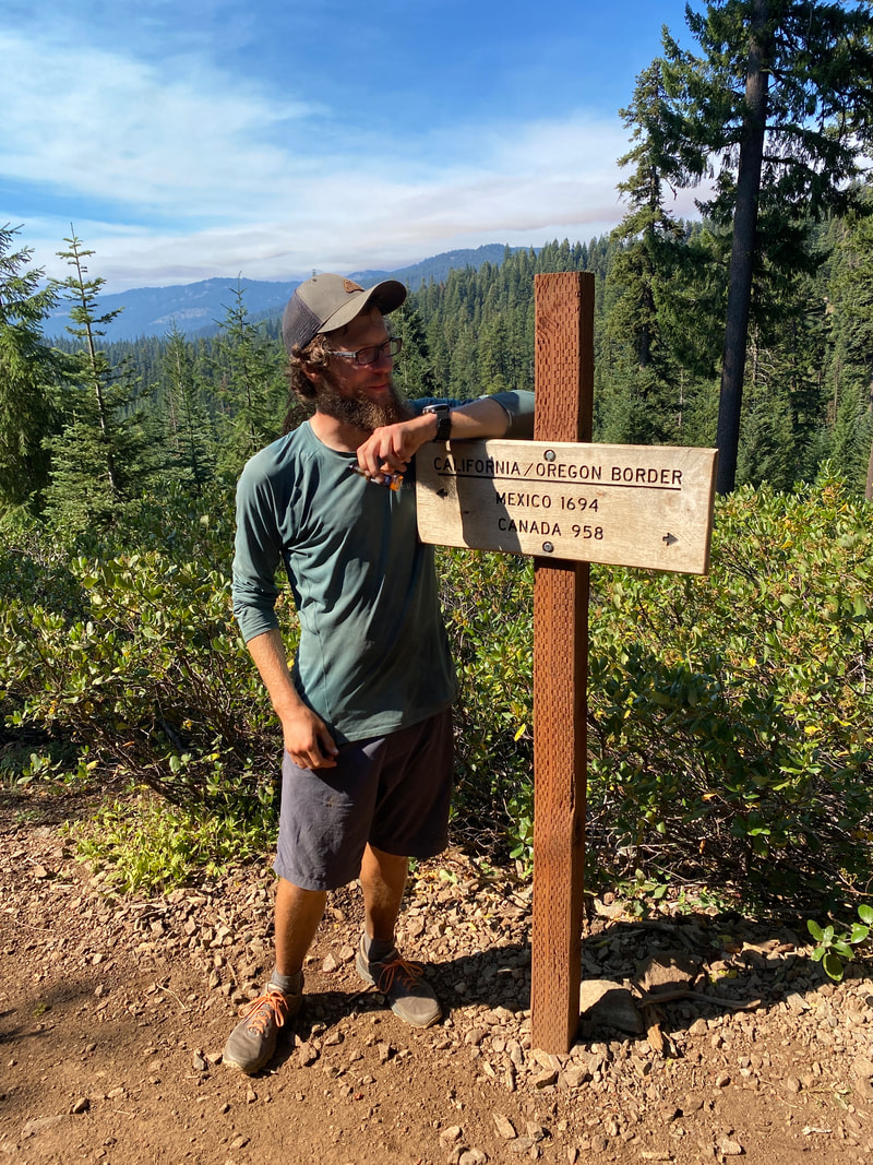
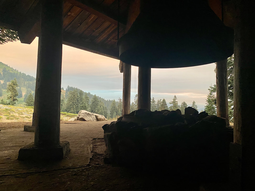
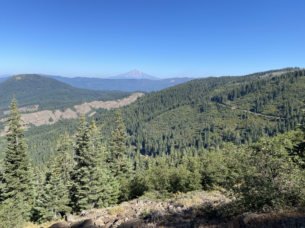
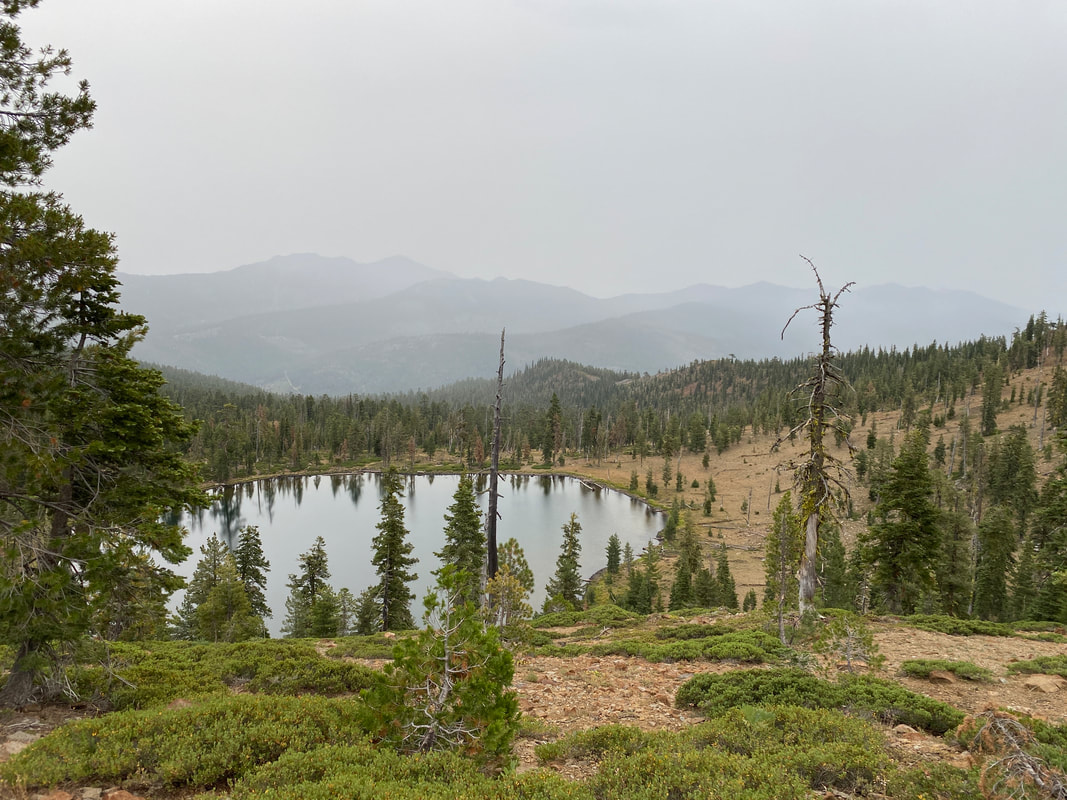
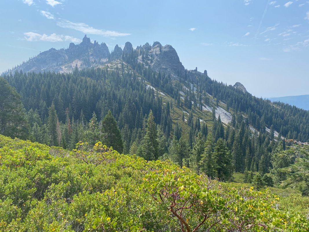
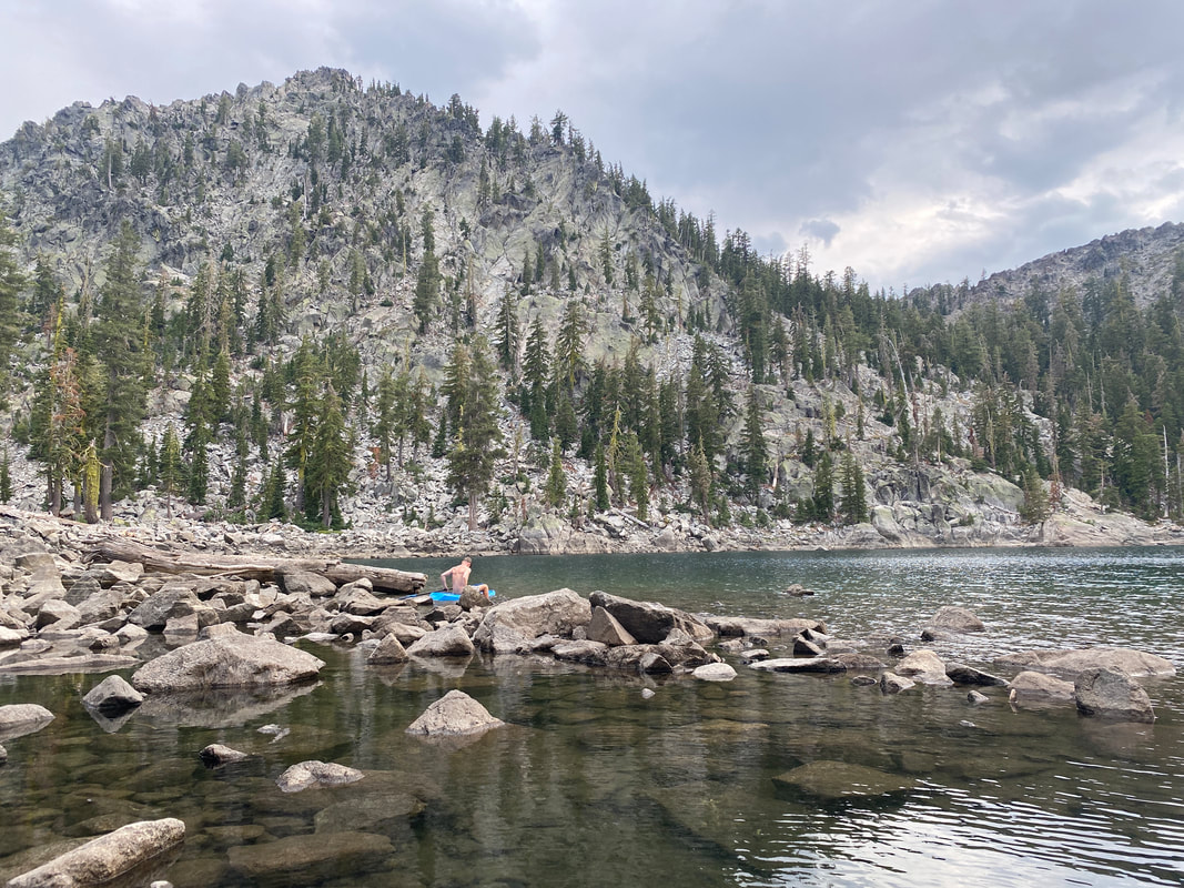
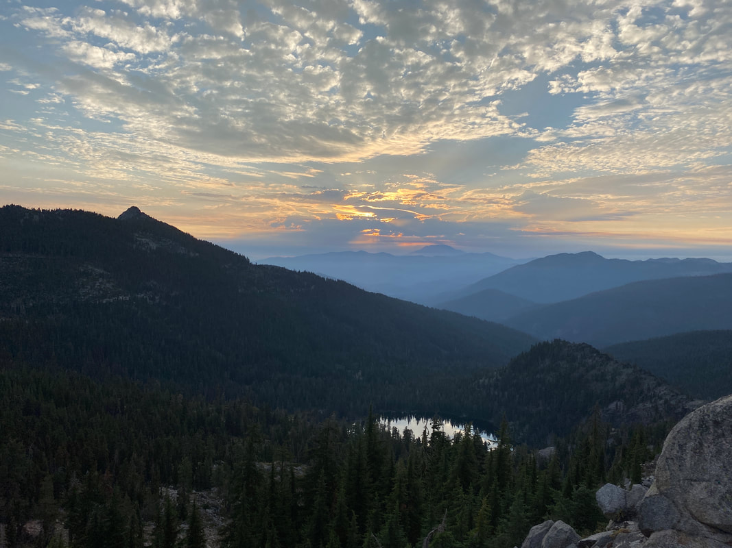
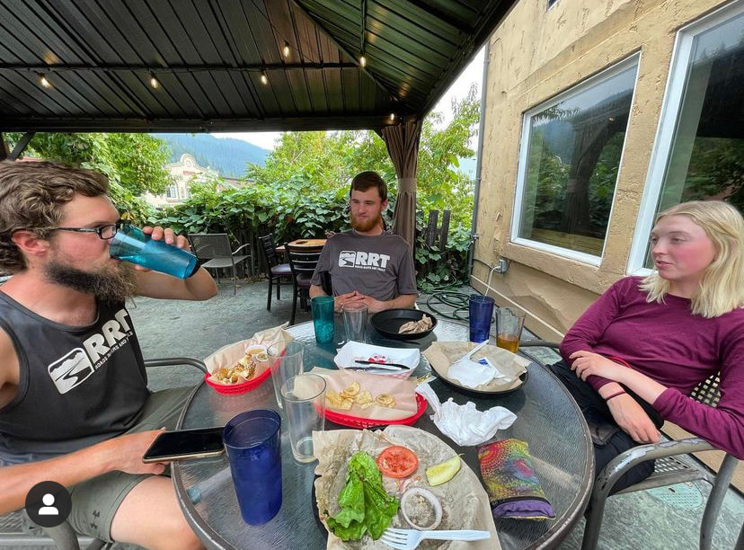
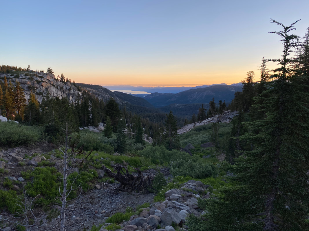
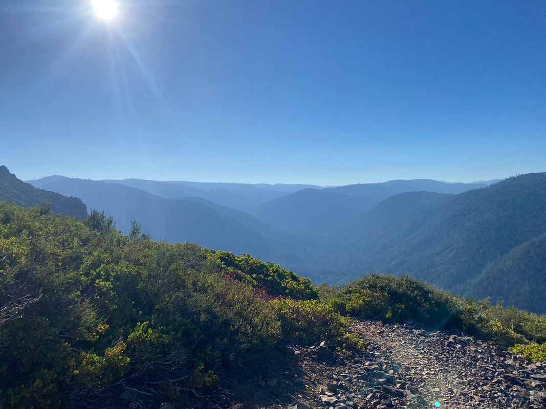
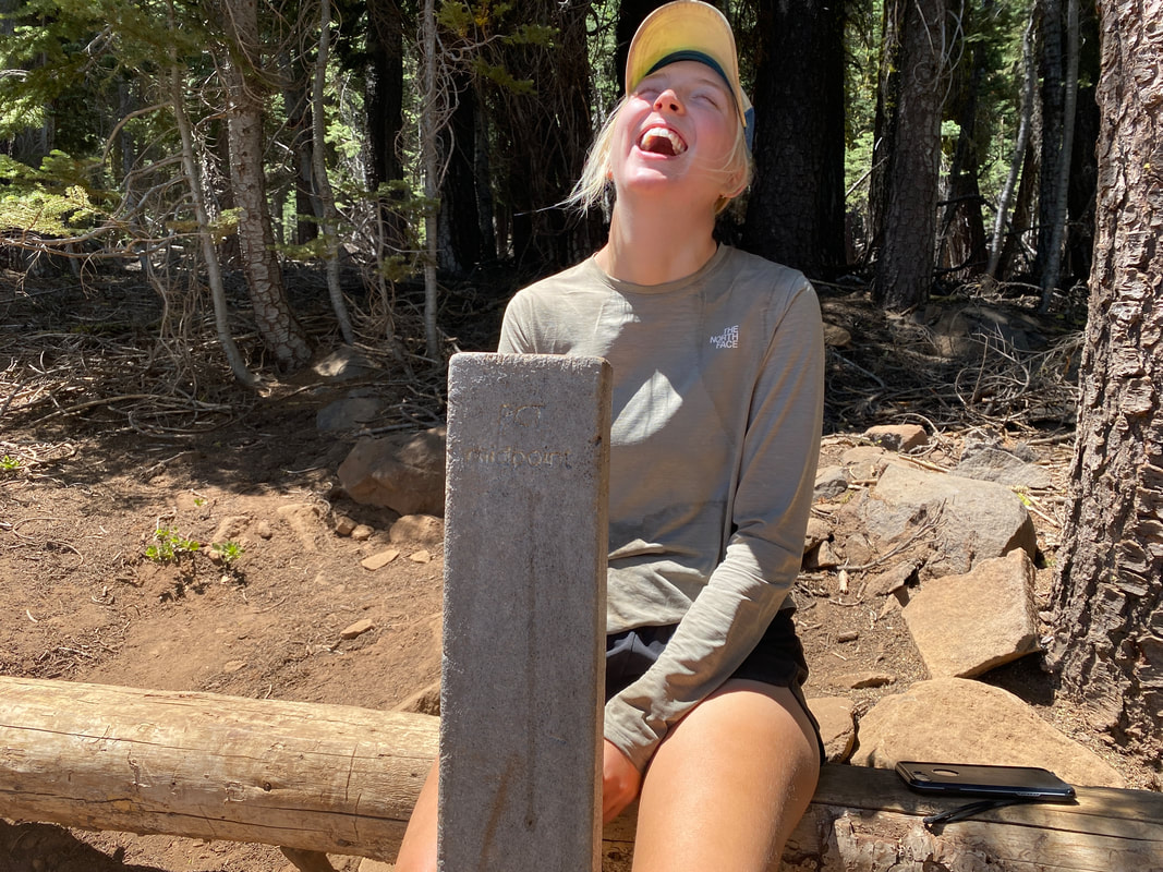
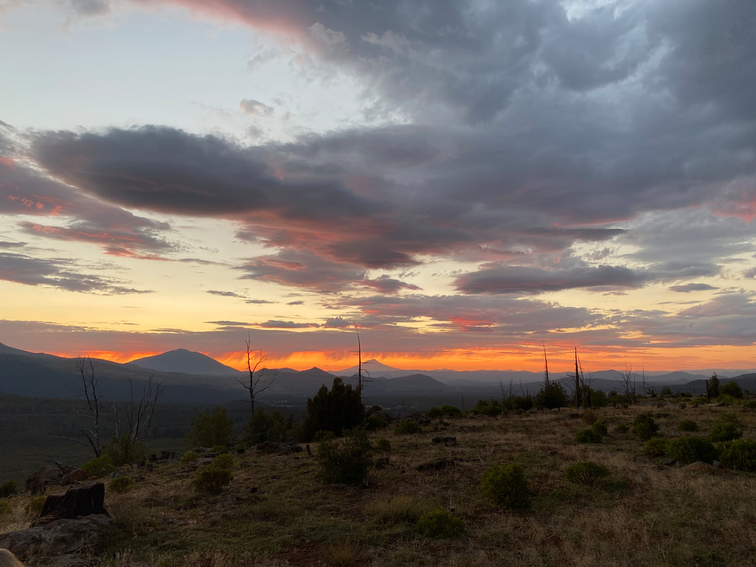
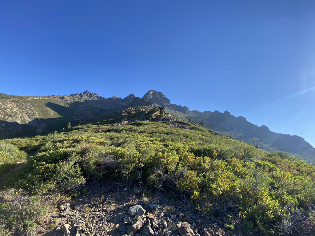
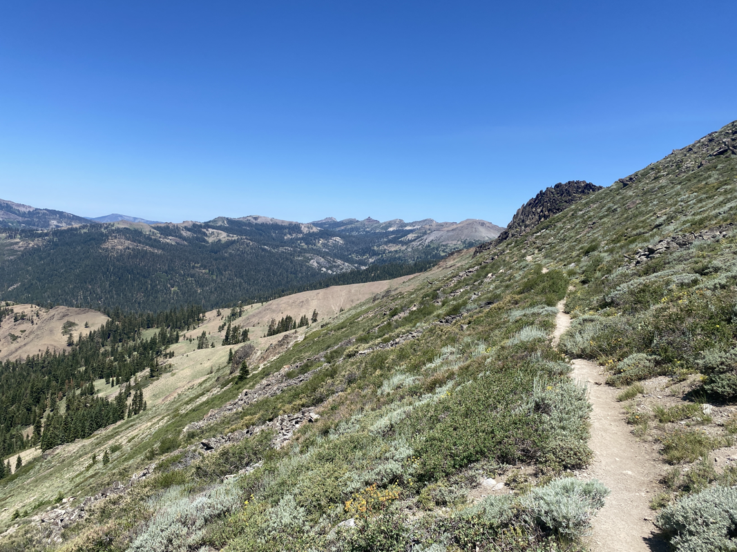
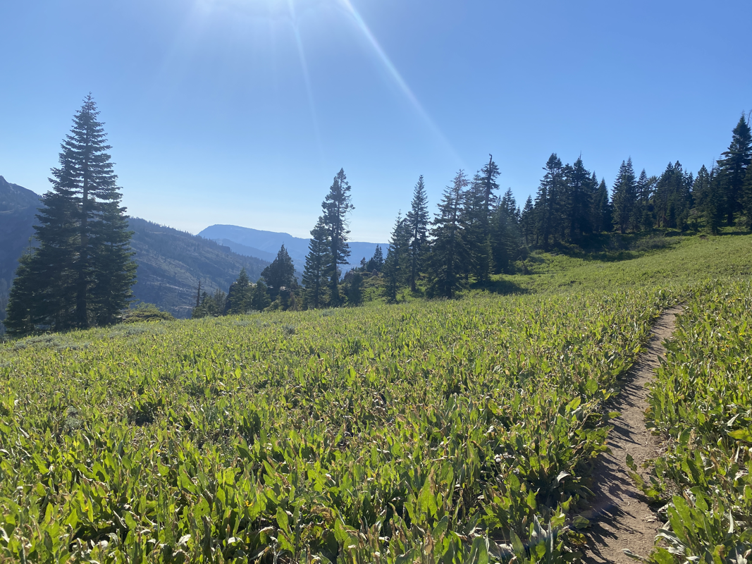
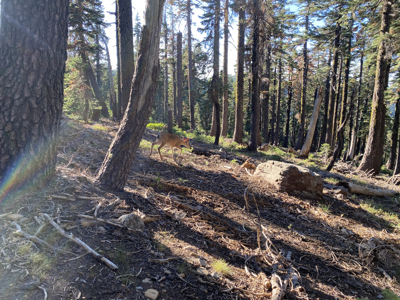
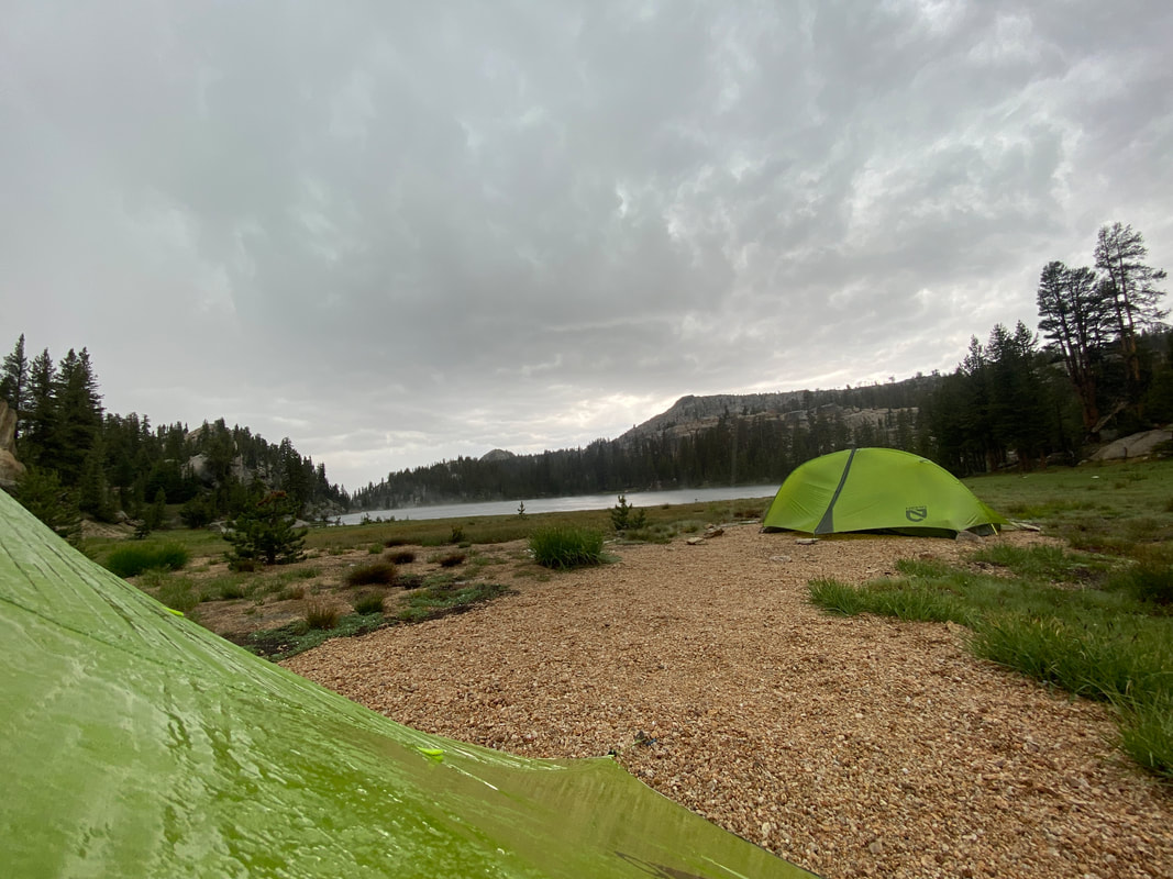
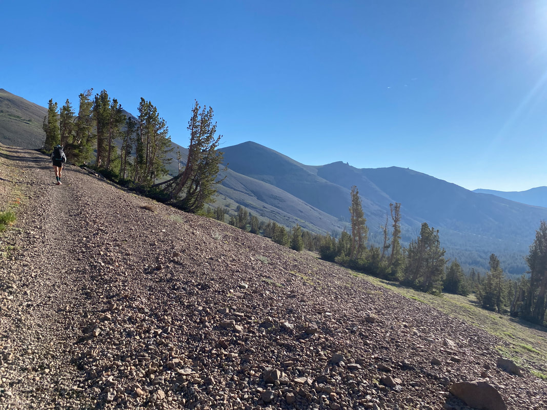
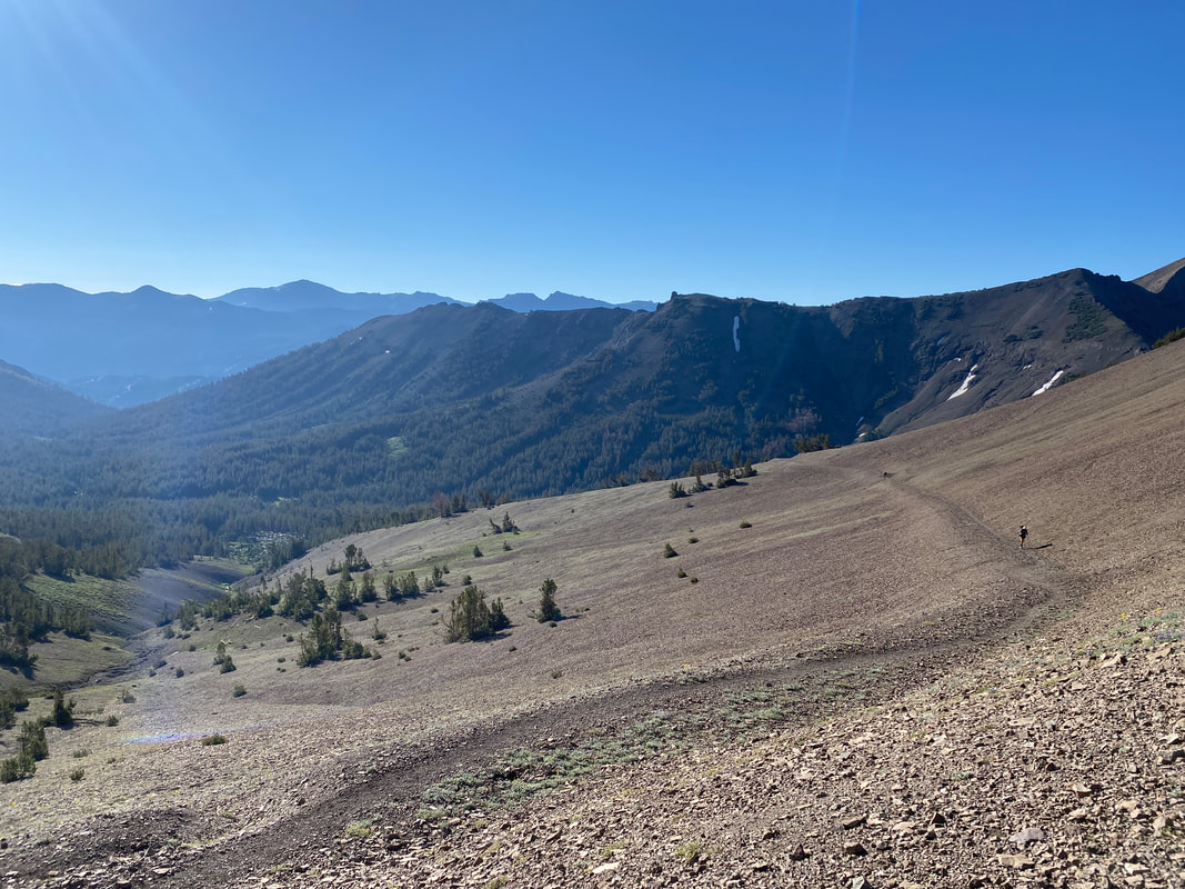
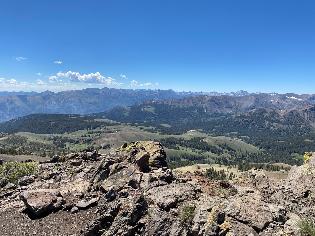
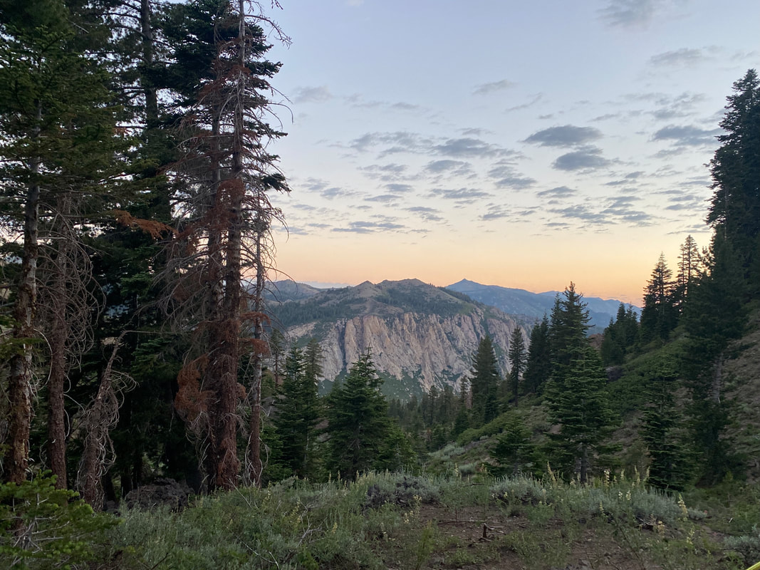
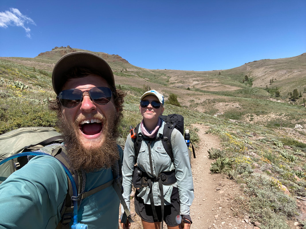
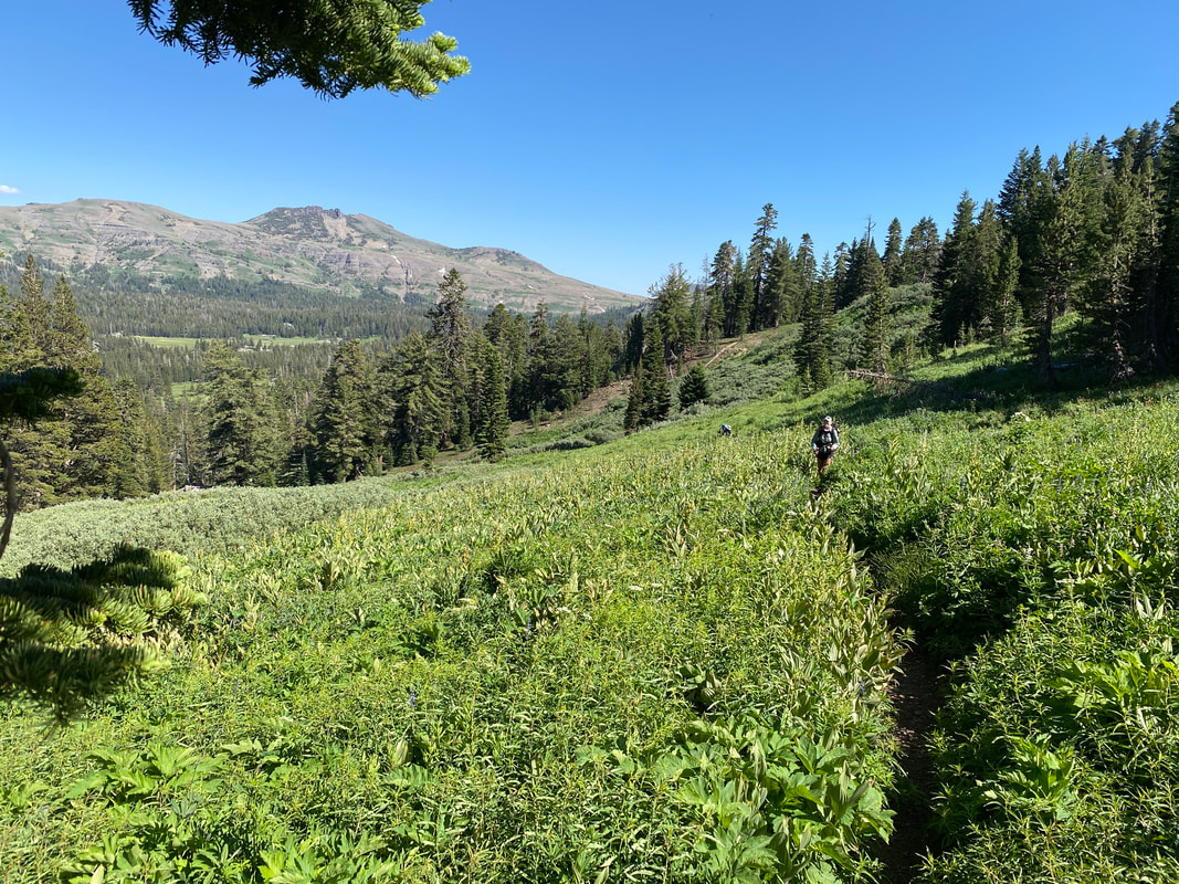
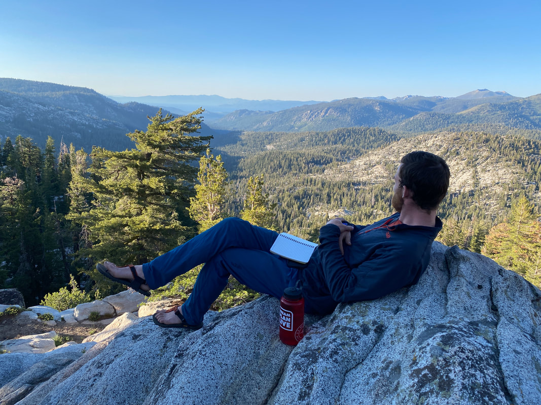
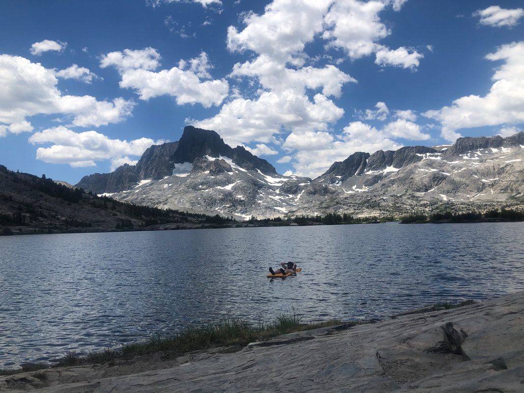
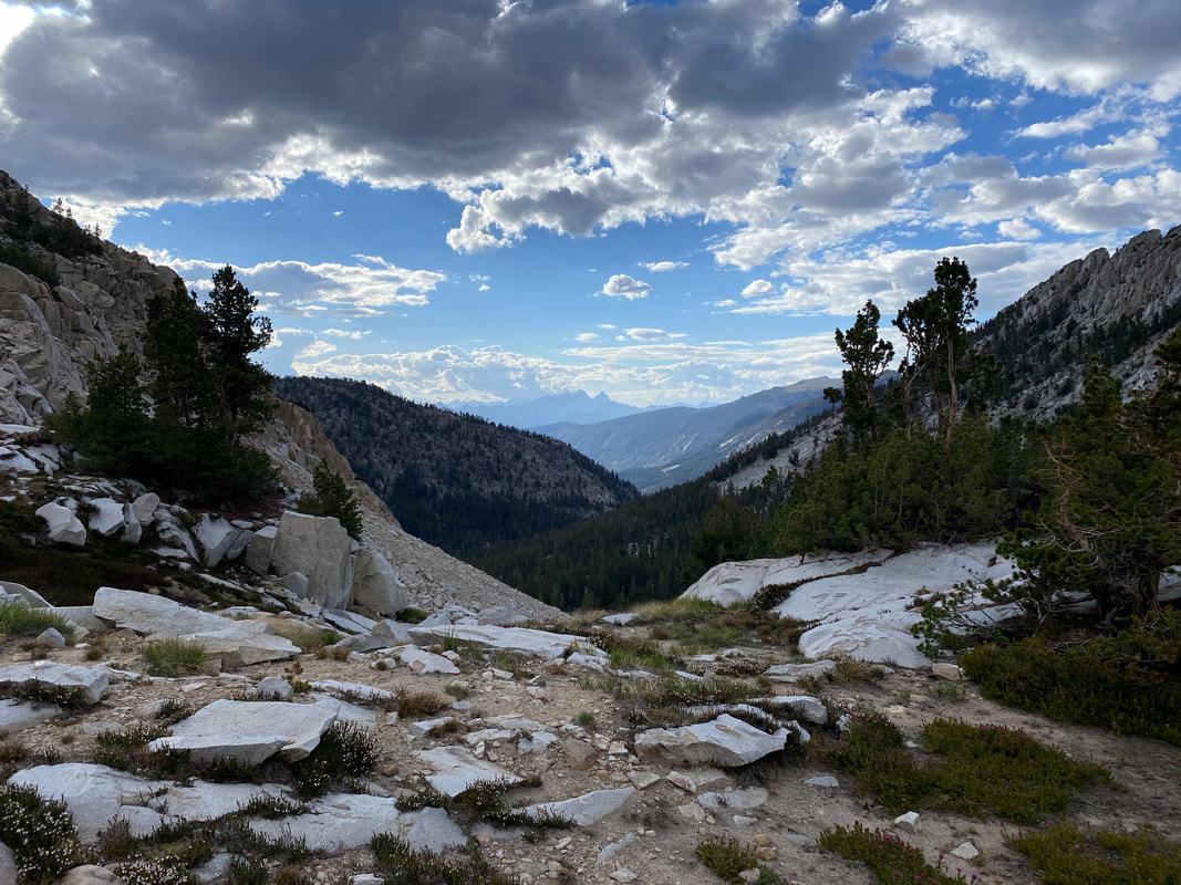
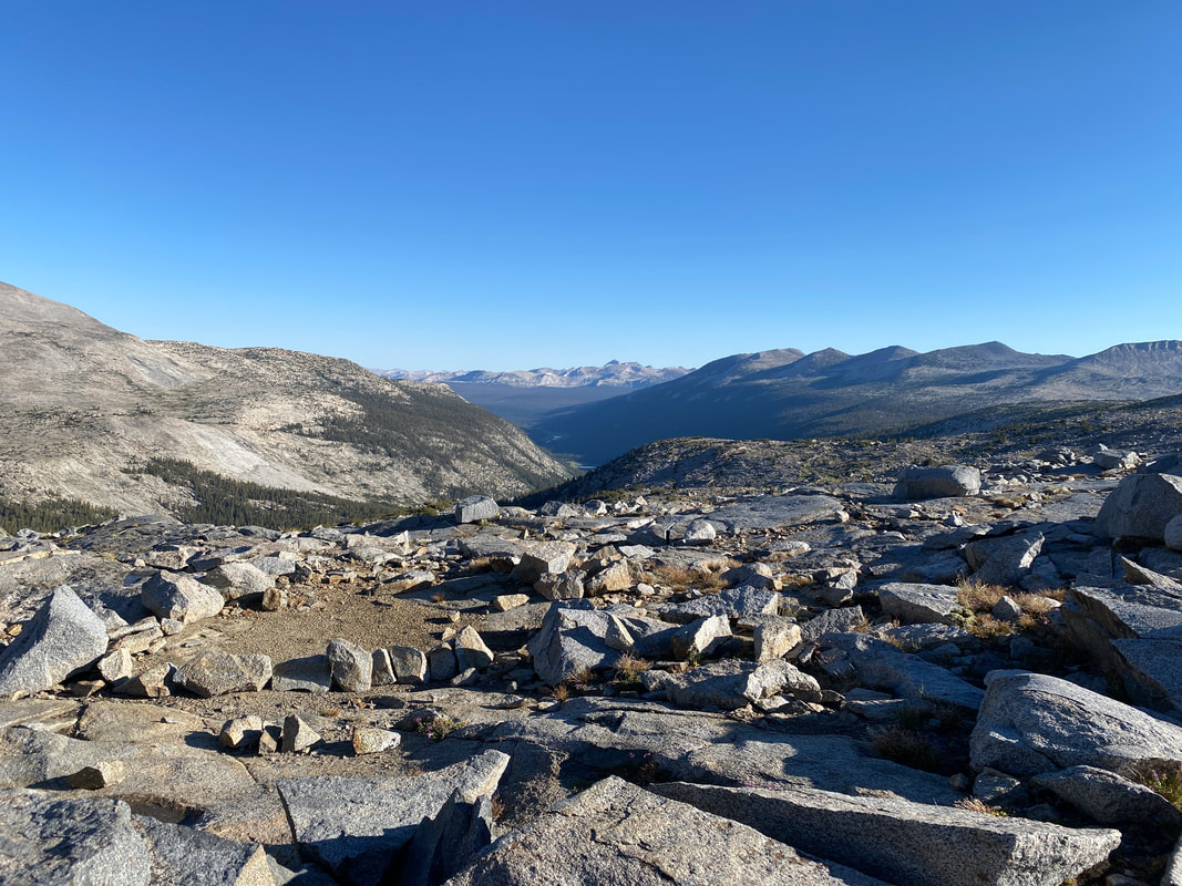
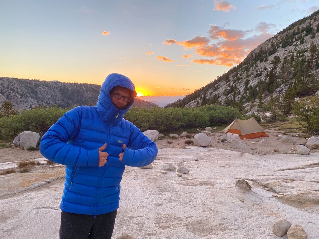
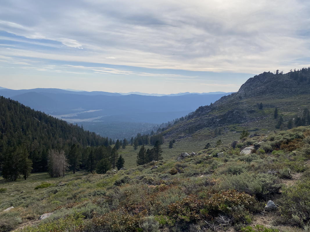
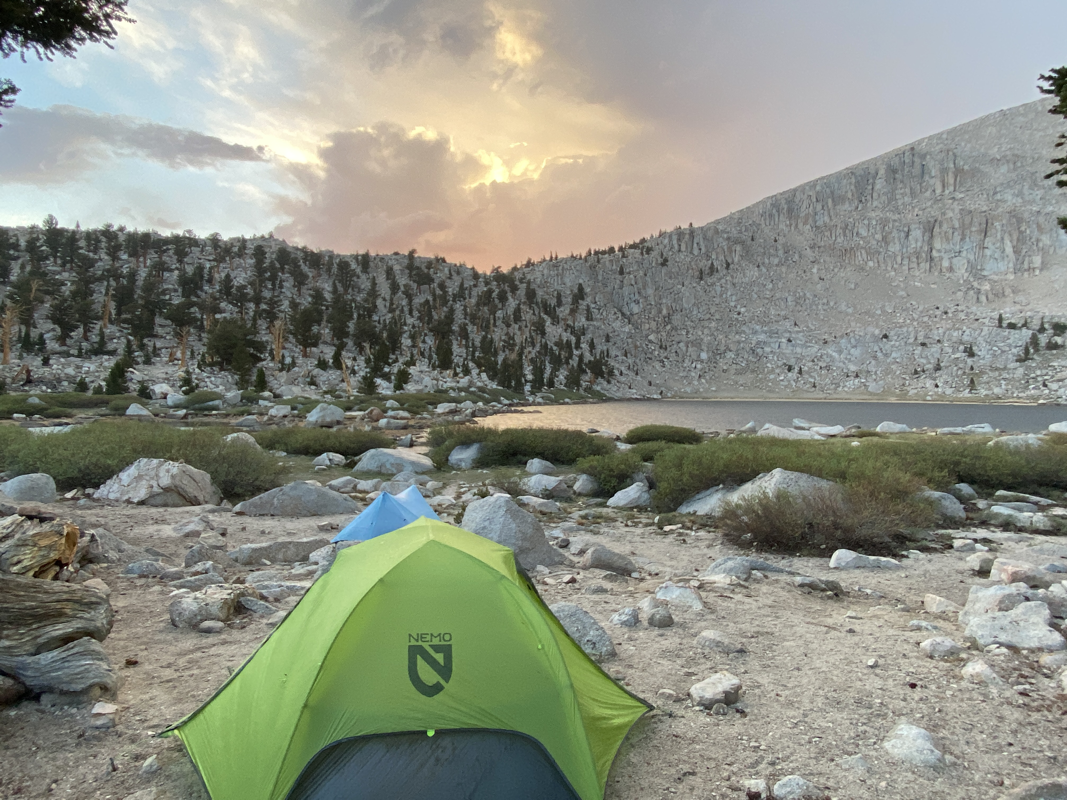
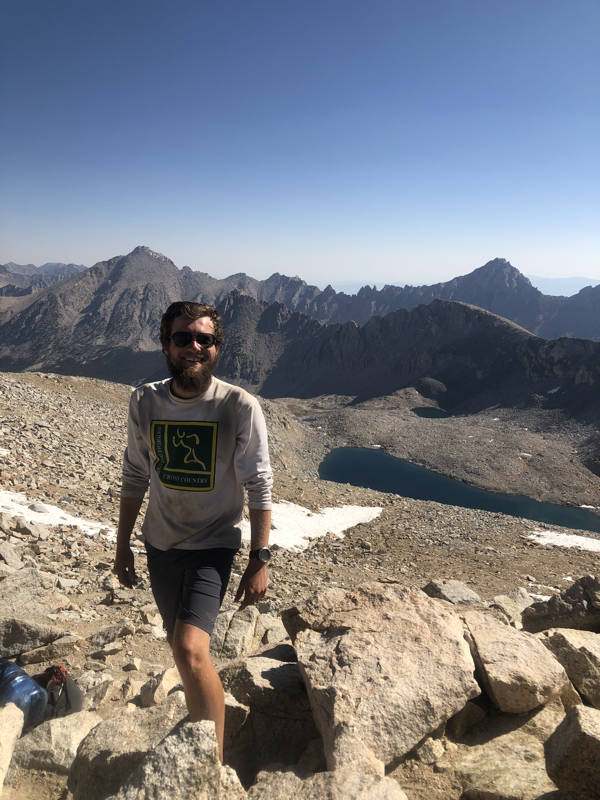
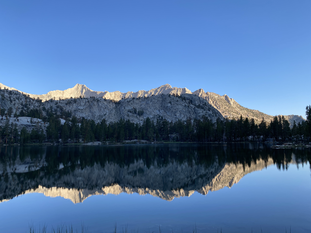
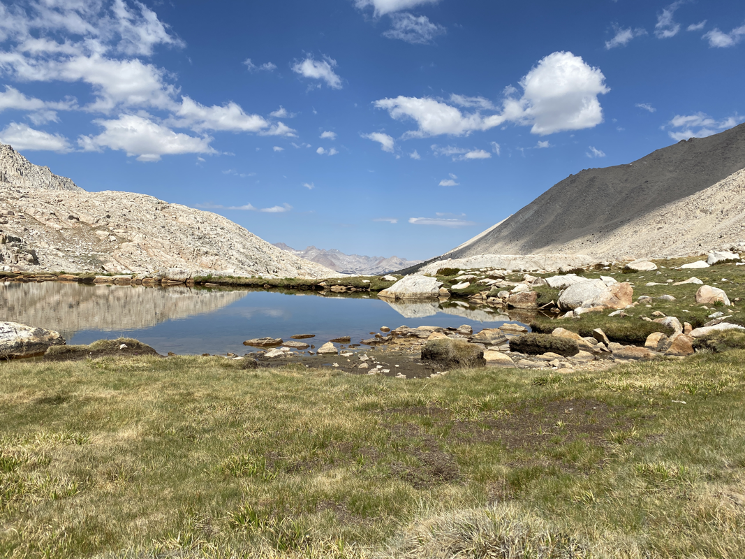
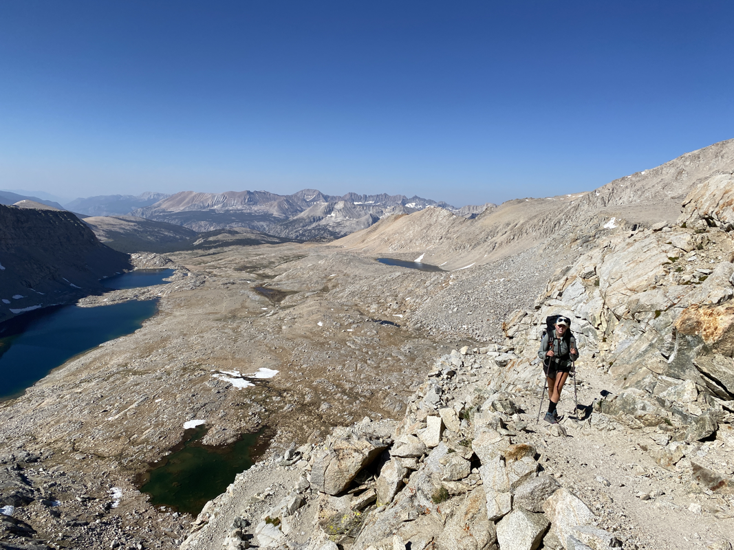
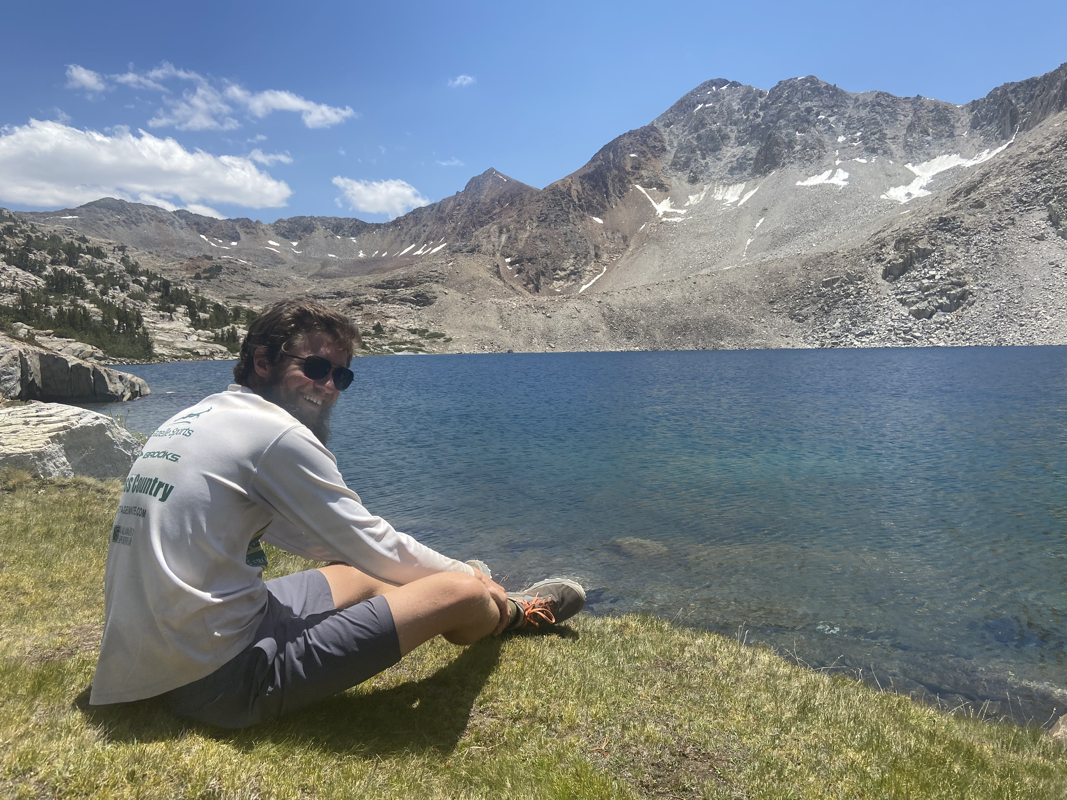
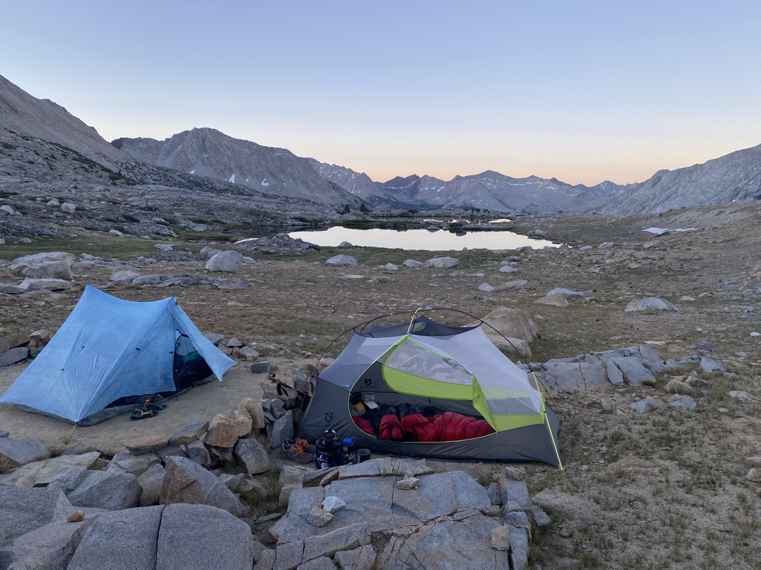
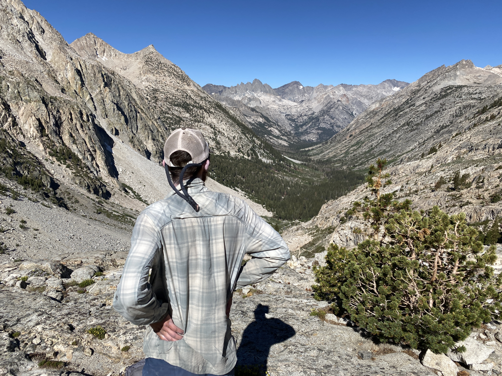
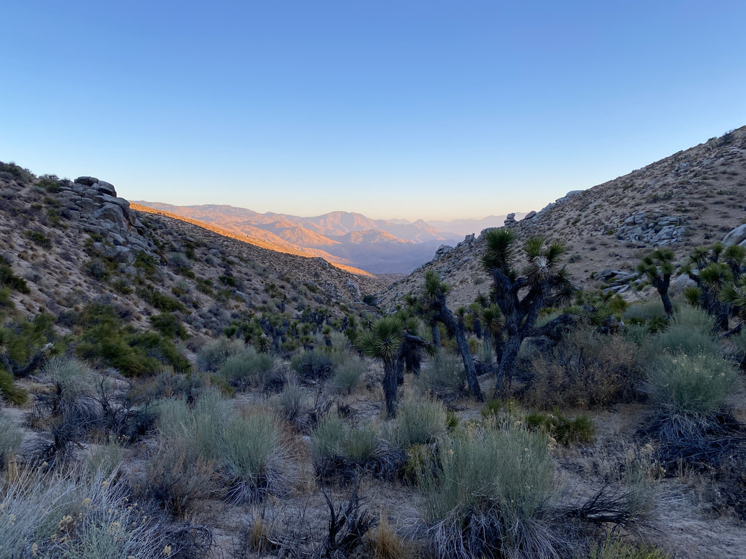
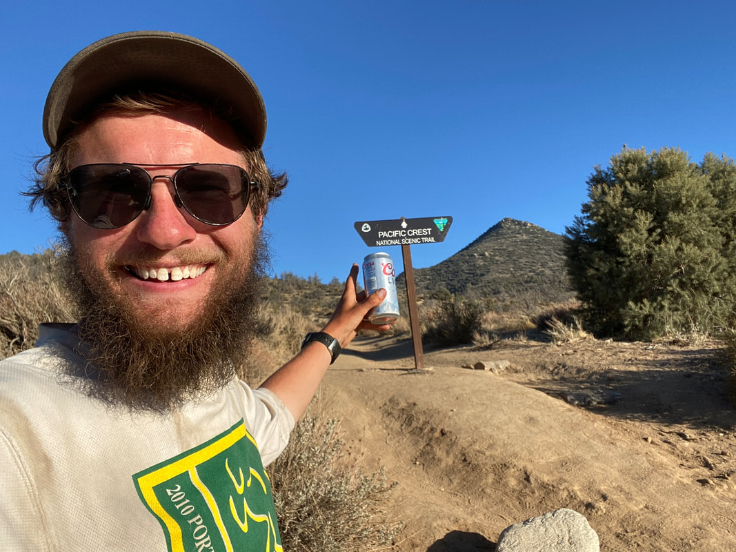
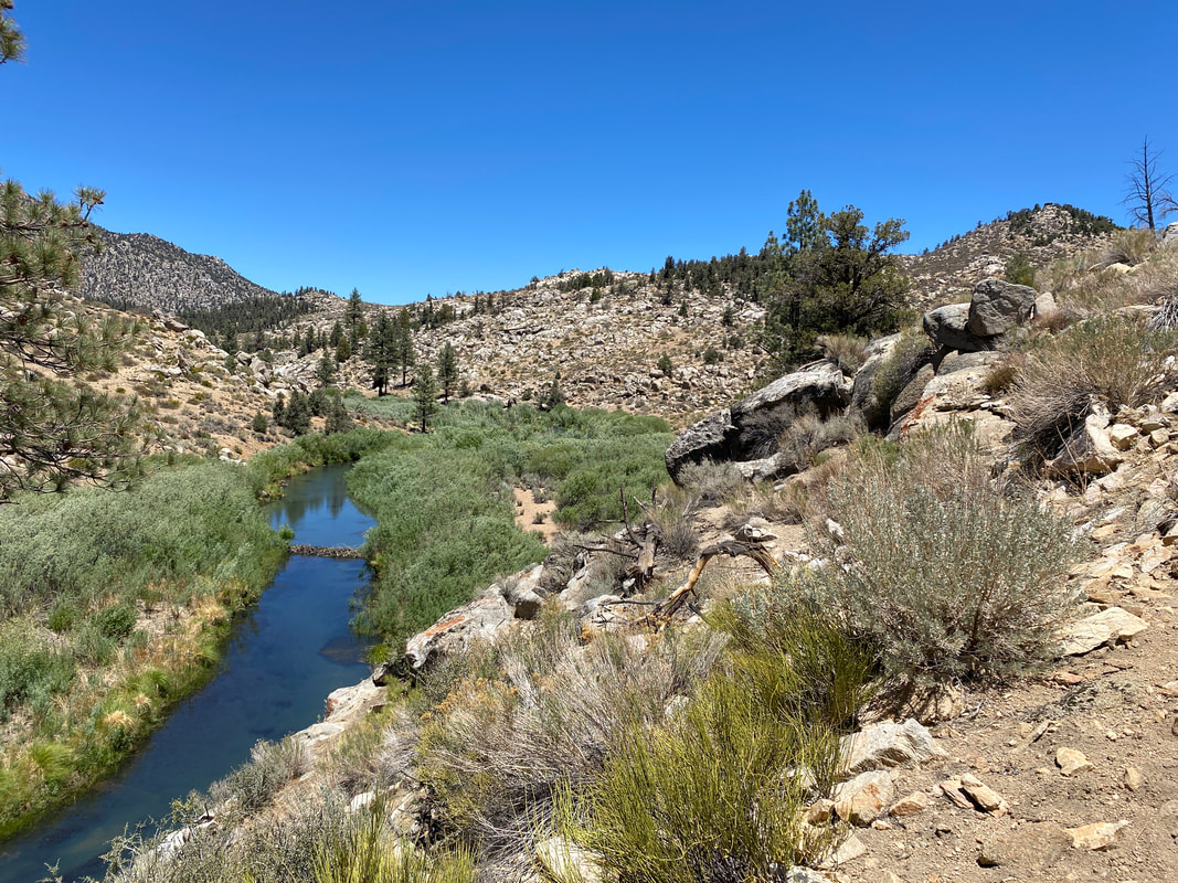
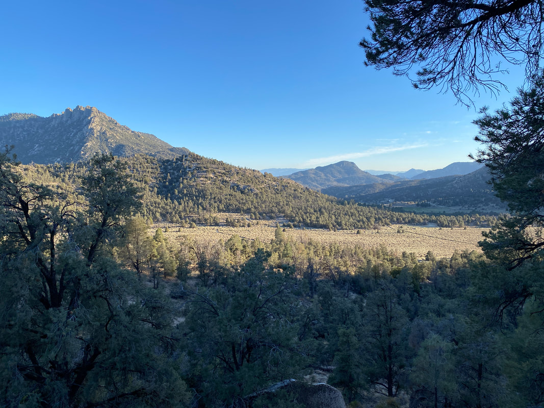
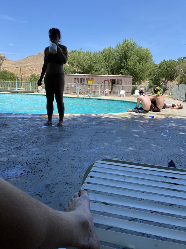
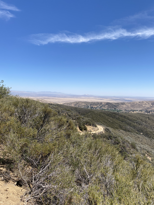
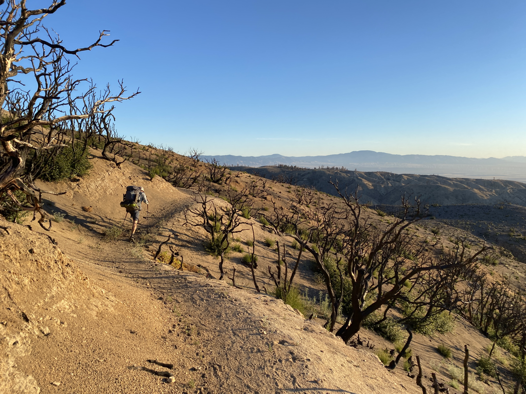
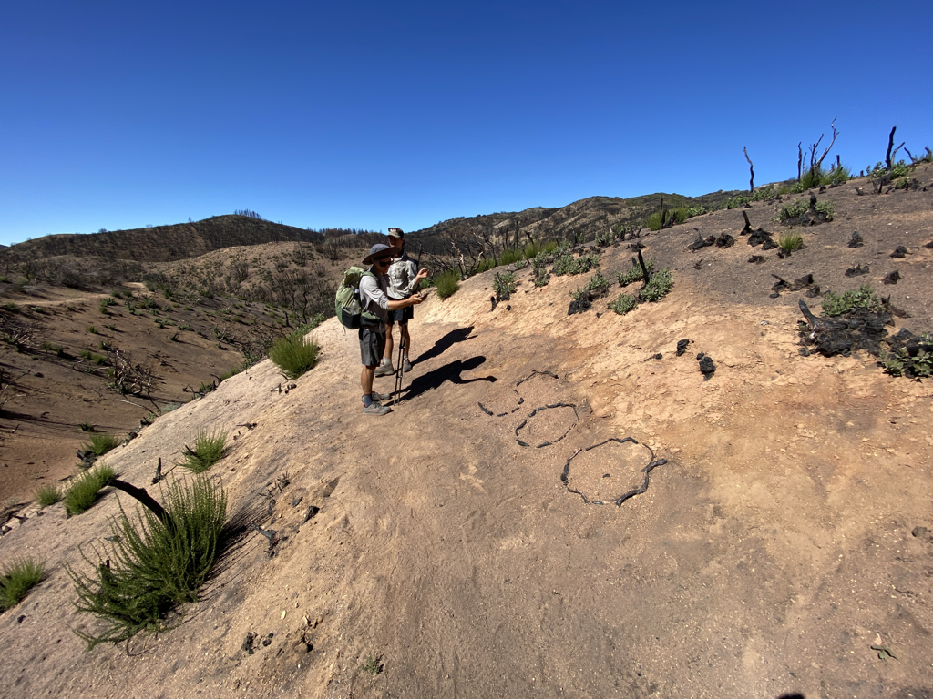
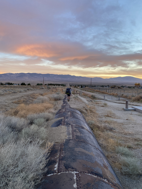
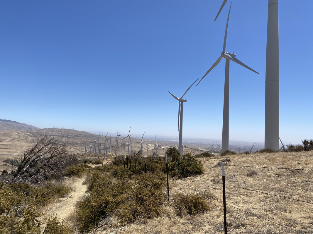
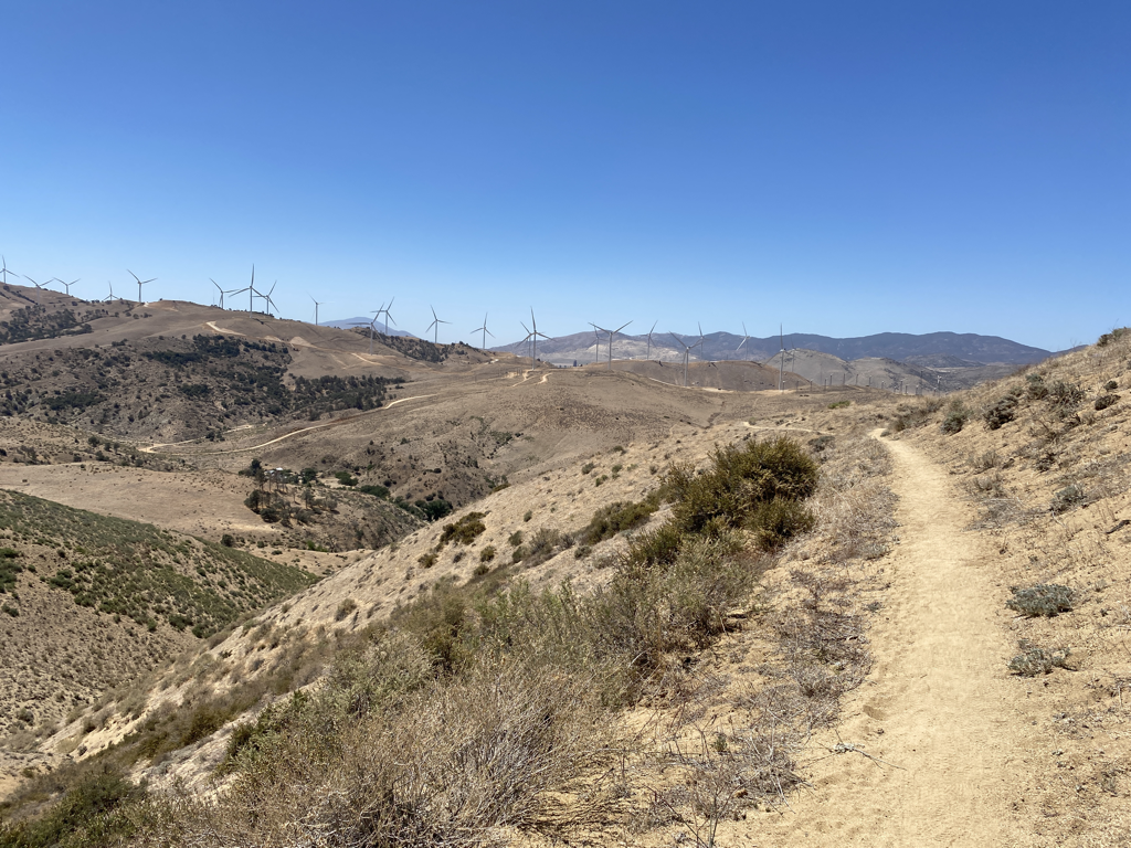
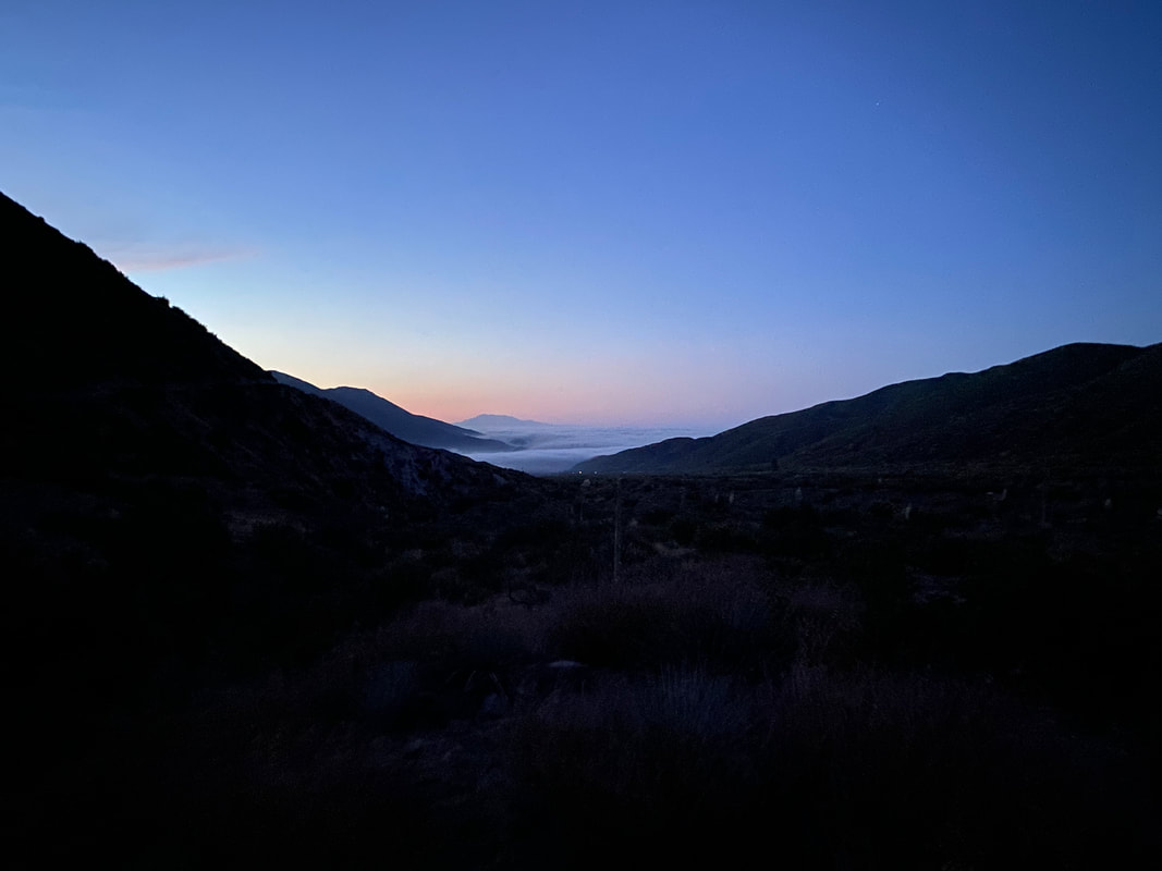
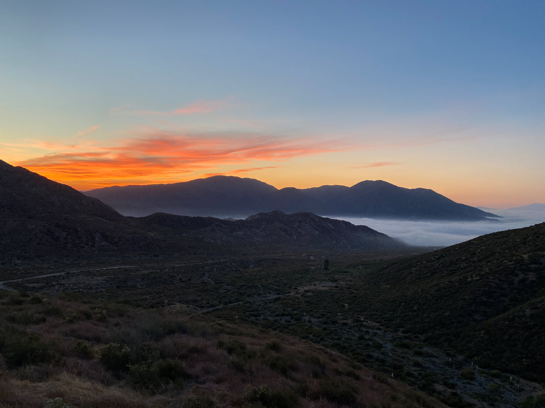
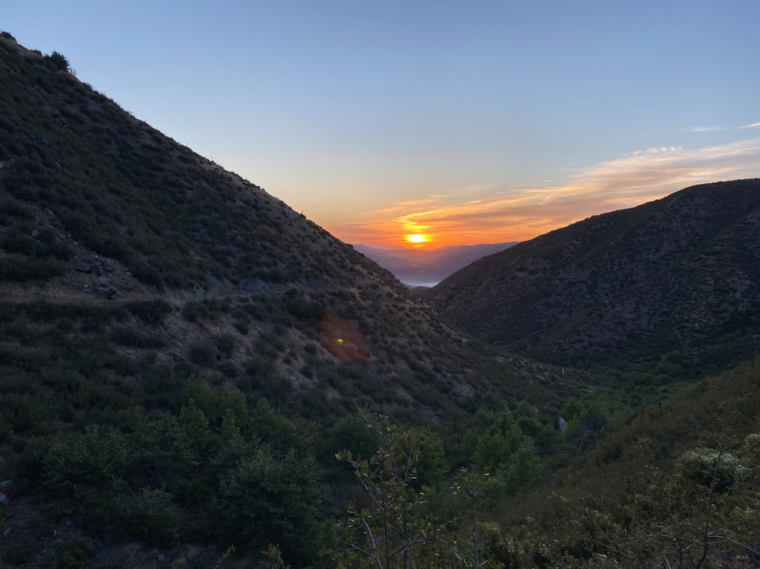
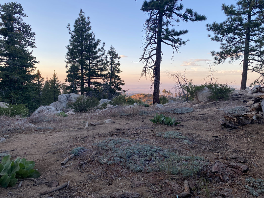
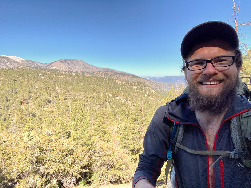
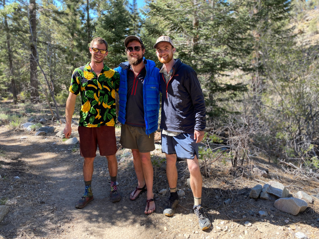
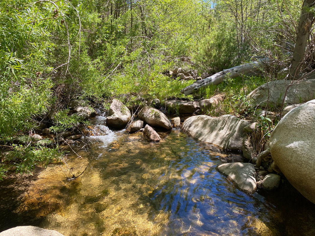
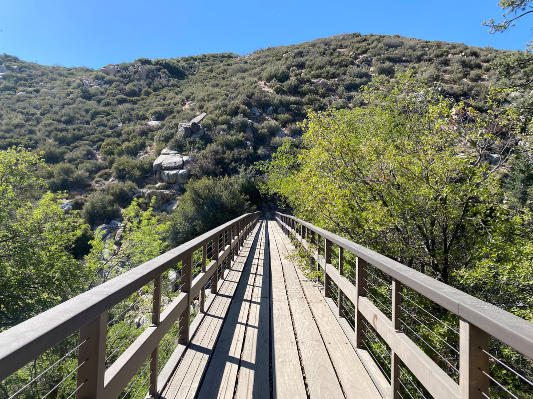
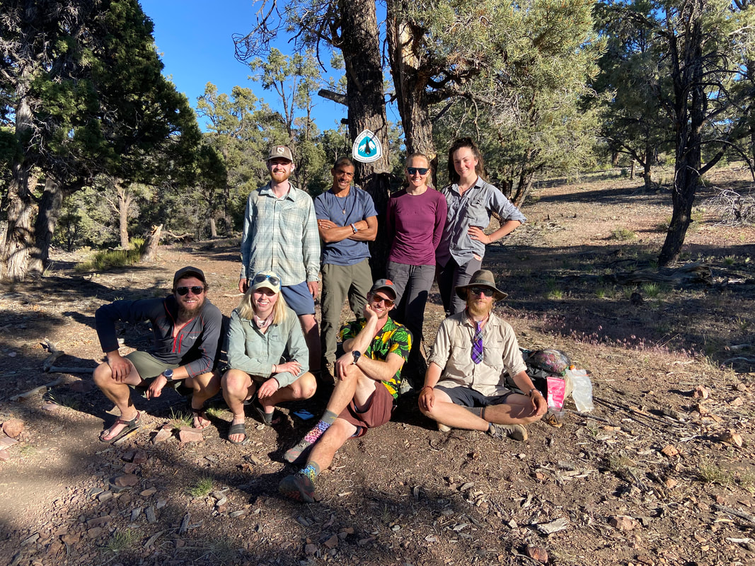
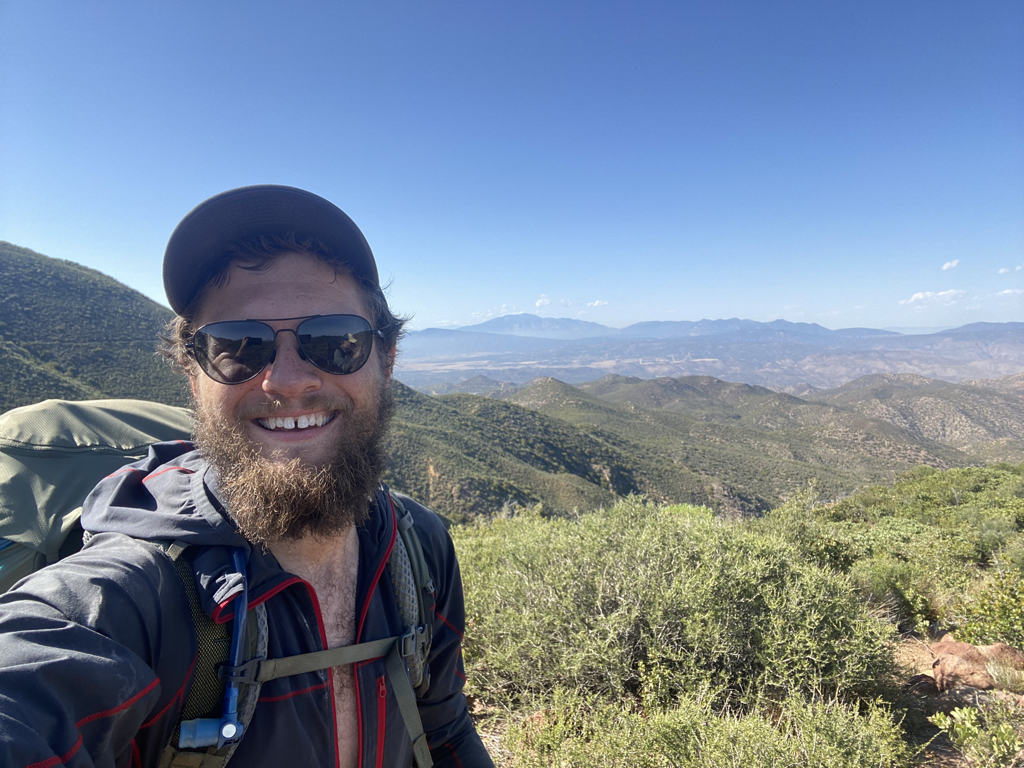
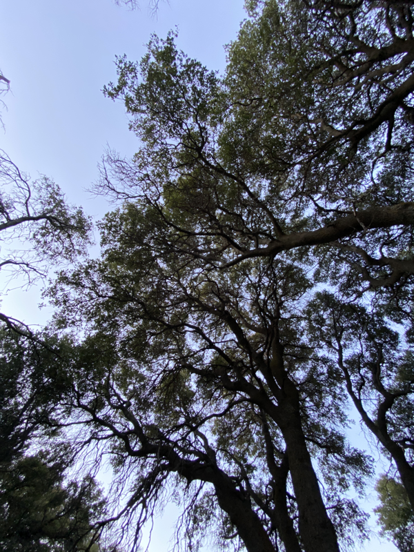
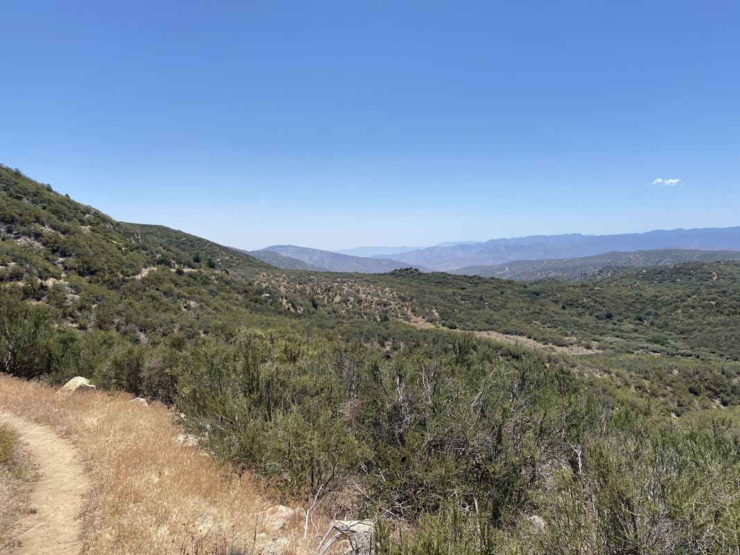
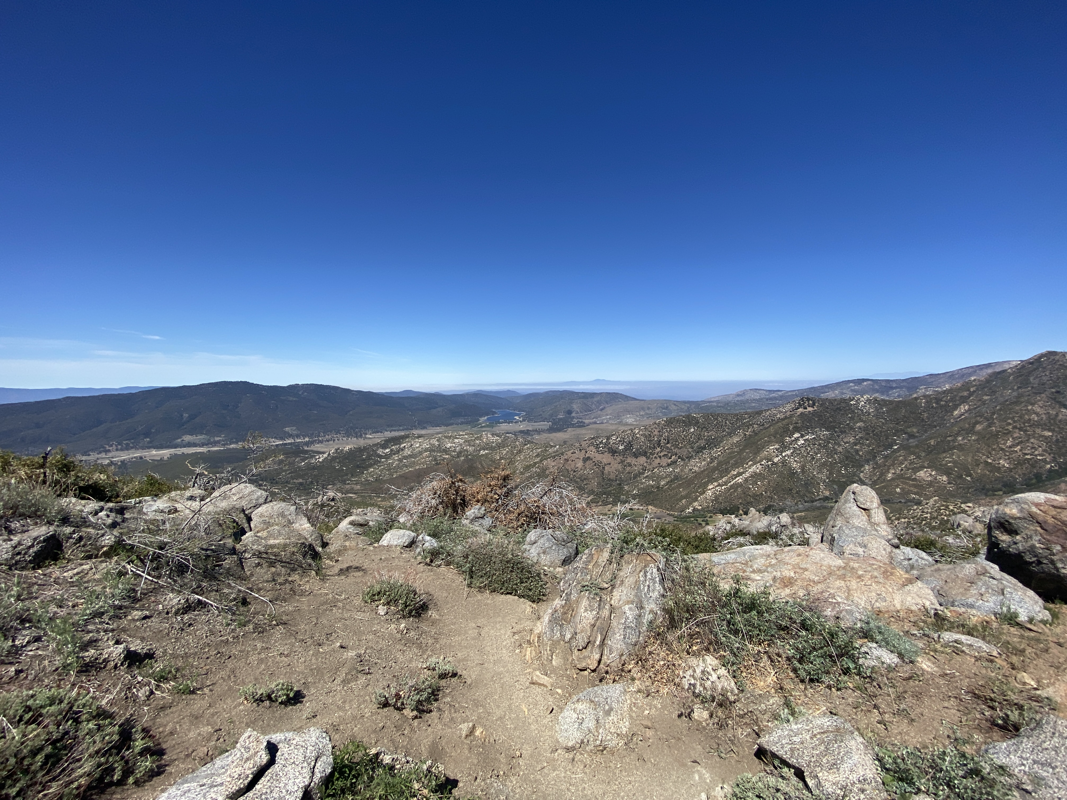
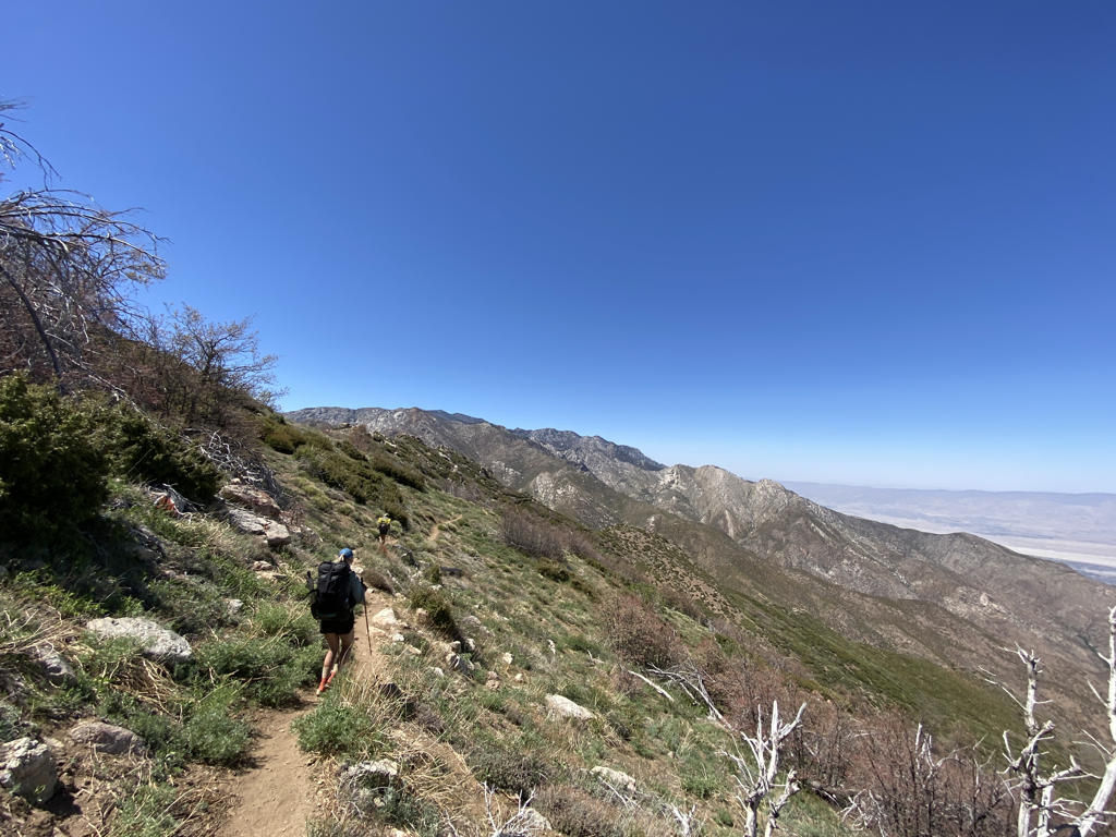
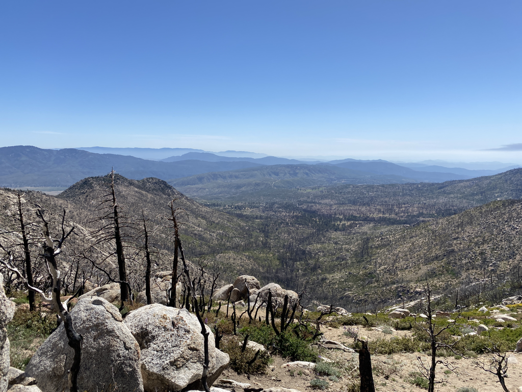
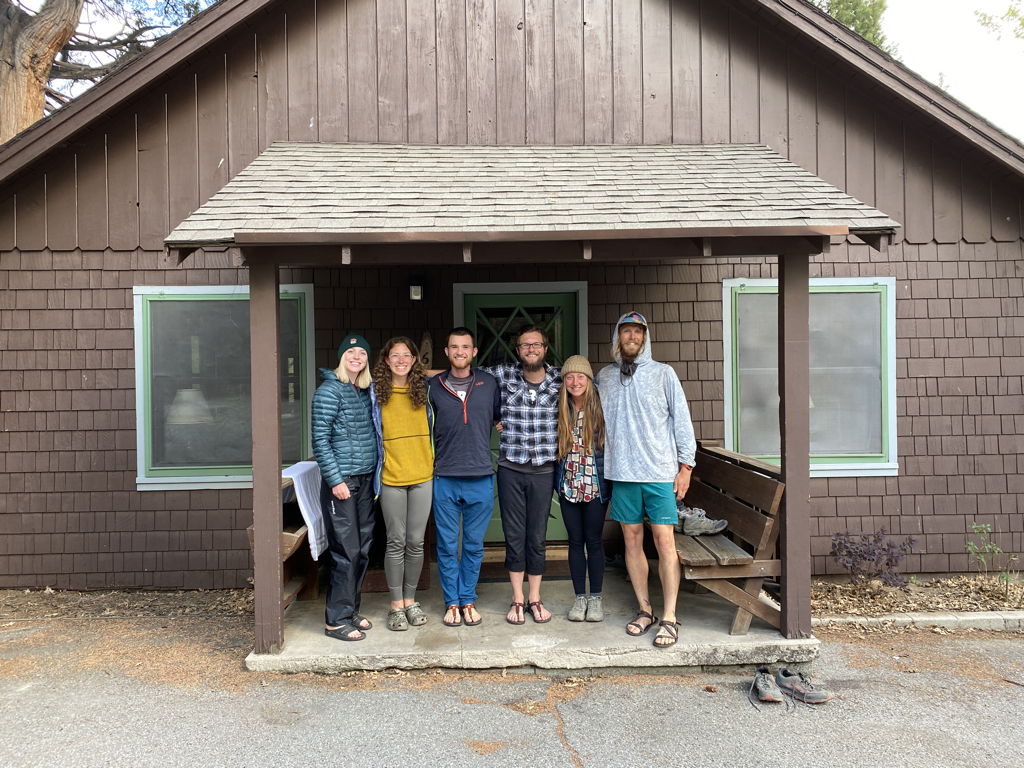
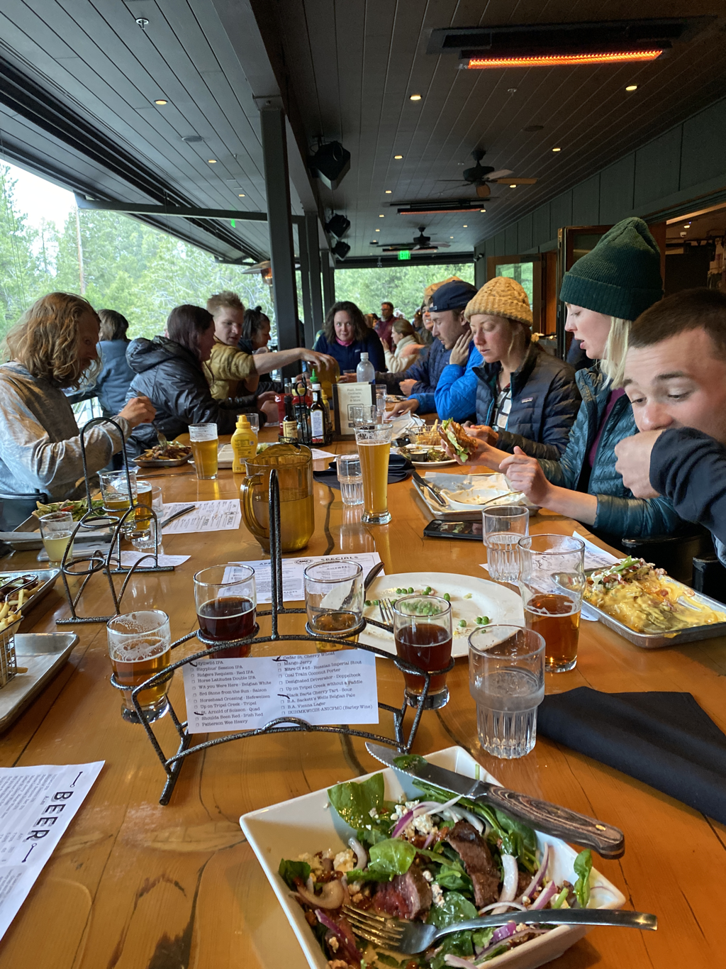
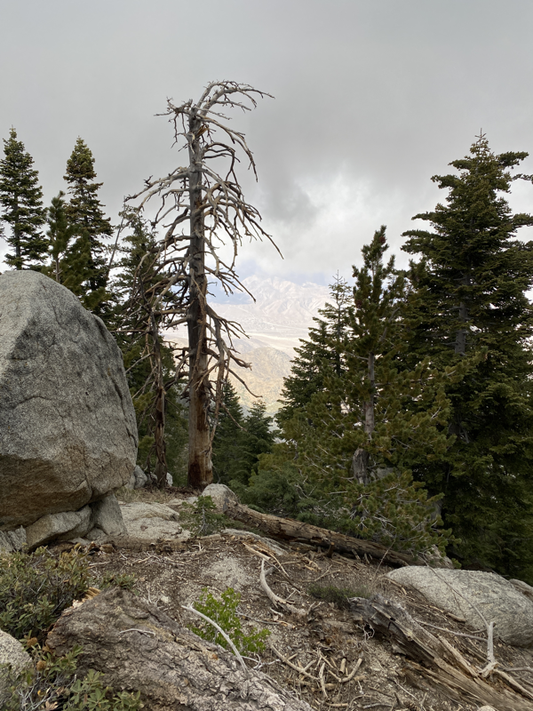
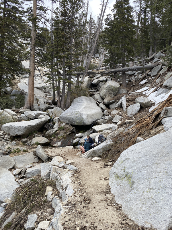
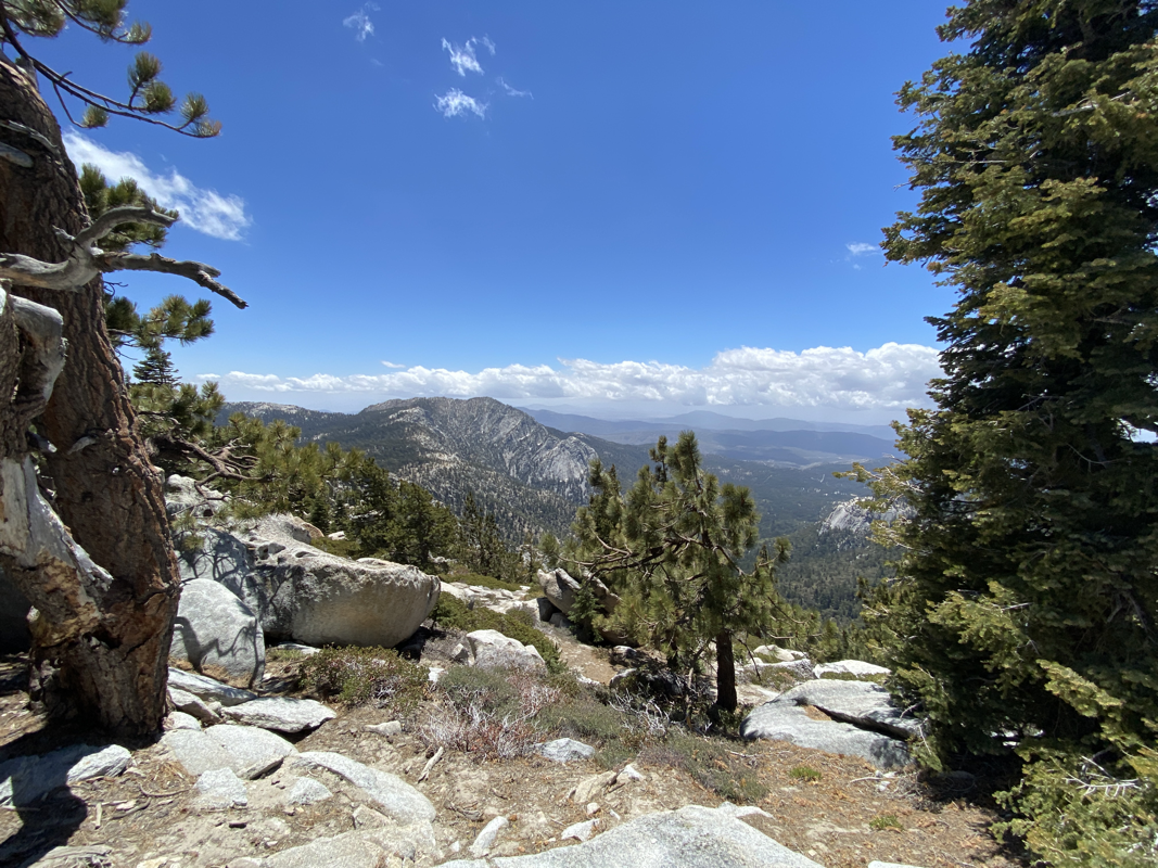
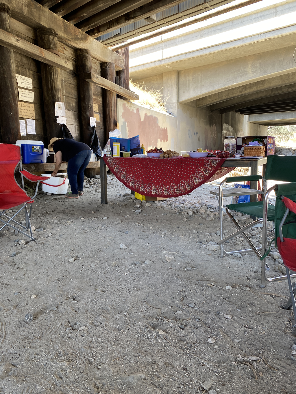
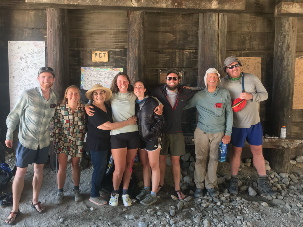
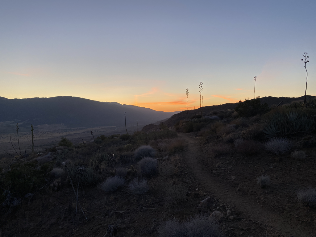
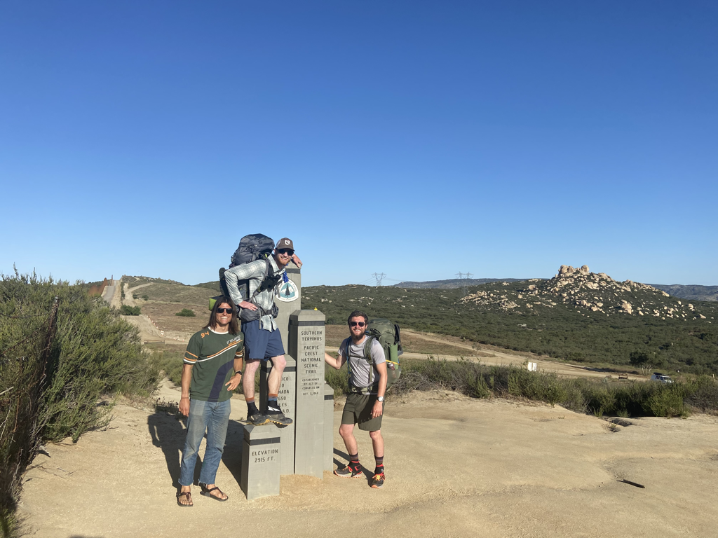
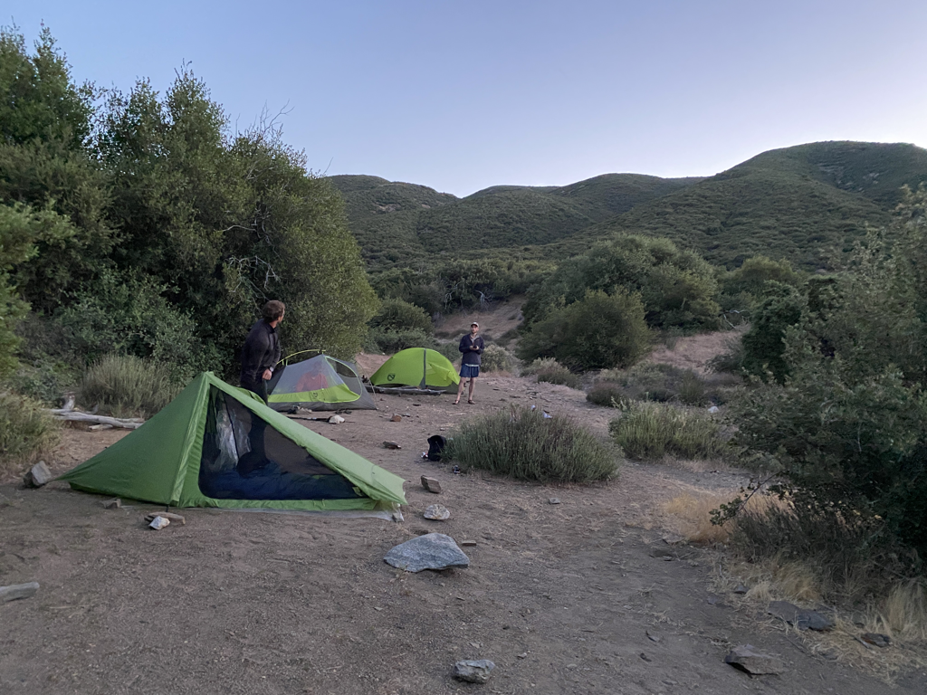
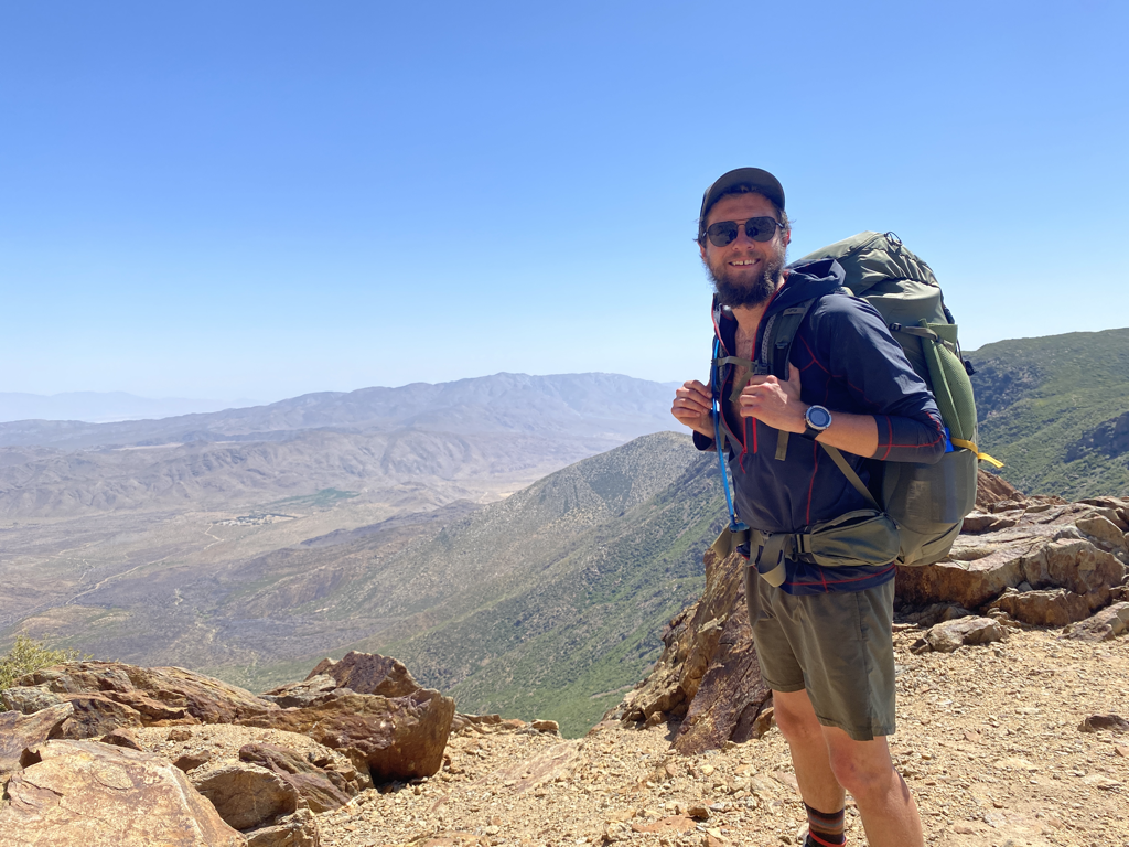
This isn’t some prophetic piece of writing where I tell you all the ways to change your life, its more so me decompressing my experience on the PCT and looking at it from an angle where my emotions are less raw than in the original writings.  Some of my stories of the PCT left out the emotional experience of the whole thing, cause at the end of the day its personal.  The story below contains bits and pieces of information from the hike I didn’t necessarily include in my blogs, I hope you enjoy my writings and reflection, thanks for reading.

​For four months I walked from Mexico to Canada.  I stumbled, I struggled, I almost quit a few times, but I also grew, experienced and ultimately succeeded.  The person who stood at the southern terminus and the one that walked away from the Canadian border aren’t the same.  I thought the PCT would give me this clarity of mind and the stars would magically align to show me my path through life but it’s affects have been more subtle.  It’s only been after being off the trail for three months that I can finally start to see how I’ve changed and also begin to see the next parts of the path of my life start to fall together.
 
When I started in Campo, CA I had rose-colored glasses.  I was naive, I thought this journey would be this easy, fun, magnificent thing and it was but it was also a bitch.  By day 4 the desert was kicking my ass and the reality of what I was doing set in, I sat in a pie shop in Julian, about to vomit all over my table when my friends Leapfrog and Nanners helped me get my shit together and get back to walking.  I realized in that moment that if I was going to make it, I needed a strong system of support and my stubbornness was not gonna be enough to stop me from quitting if it came to it.
Picture
For the next three weeks I continued walking, from town to town, 444 miles to the oasis of Acton.  There was a KOA there, with a pool, where Leapfrog and I took our first zero.  It was a welcome break from moving, my body was tired and starting to breakdown for the first time.  There was still so much more of the desert to go, and my mind was faltering again.  It would’ve been so easy to walk away there, and I came very close.  I sat on a swing and cried for a long time the night before we left.  I had a voice telling me to be done if I wasn’t enjoying it anymore and I had another telling me to shut up and walk.
 
I kept walking and after 700 miles, arrived in Kennedy Meadows.  It was a moment of celebration; I was finally about to be rewarded for my desert struggles with a three week walk through the High Sierra.  I had good people with me, my body felt good but I also felt like I was rushing forward.  The week before I had broken up with my girlfriend, done my first 30-mile day and completed one of the longest, driest water carries on the PCT.  I was mentally exhausted, again… I think this was the first time I feared a possibility of being in the mountains alone.  I felt so unsure of what I was heading into but I knew I’d make it work.  
Picture
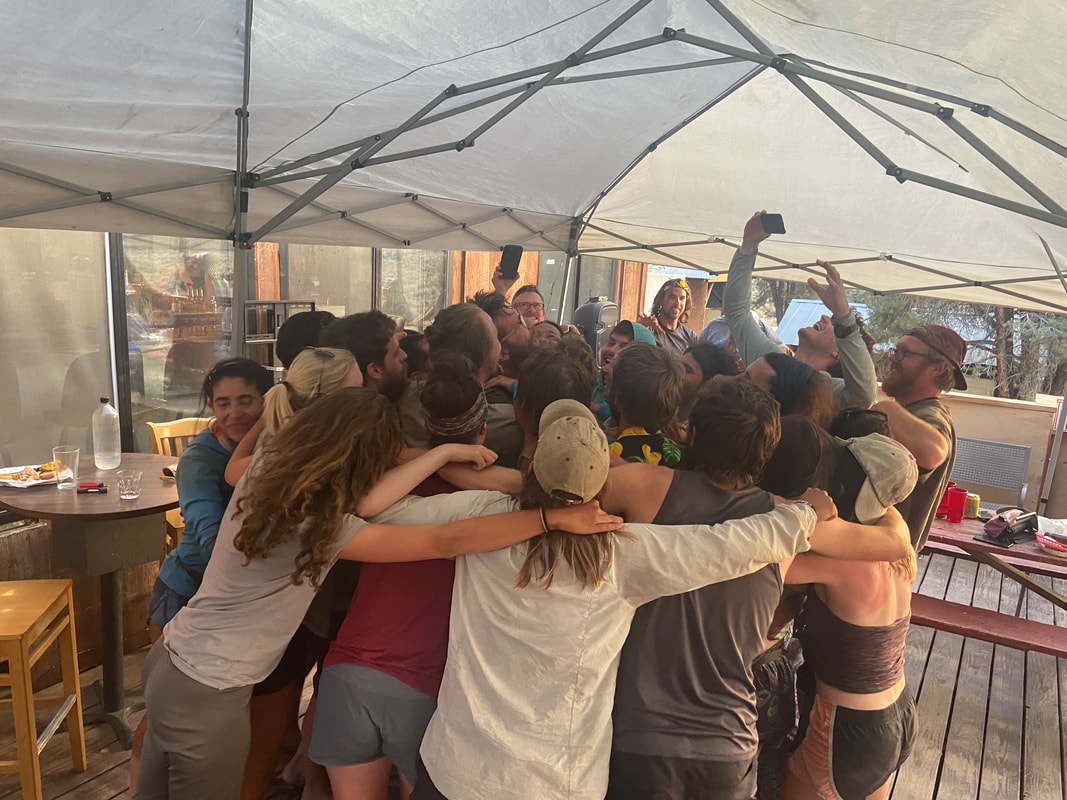
That fear of being alone was something I ended up conquering on the PCT looking back on it.  It’s hard to put into words but the fear was both physical and mental.  I had been in the mountains alone before and I ended up walking most of the 500 miles through Washington alone but I hadn’t done anything this big or long alone at this point and I was relying on the support of the team (Leapfrog and Sheriff) that I had with me to keep each other safe and calm.  I’ve also relied heavily on certain friends to help me process what’s on my mind throughout my adult life (you folks know who you are, thank you more than I can ever tell you), the extent to which I was doing that didn’t hit until I no longer had them there.  I became stronger on the trail because I figured out how to cope with my doubts and fears but I also figured out that there’s always people out there that will listen, there is always a support system, you just need to keep your eyes open, find it and be willing to share when you do.
 
After 1,100 miles I arrived at Lake Tahoe.  Leapfrog and I had walked the whole way together and Sheriff had been with us for close to 900 miles at this point.  We were a solid team, we’d found our way through The Sierra, supported each other and even fed each other when my dumbass did bad math on the mileage and we didn’t pack enough food.  After so much time, I still wasn’t even halfway done and I hadn’t had this epiphany that I’d been waiting for.  I thought for sure that I would come out of that section and the rest of the trail would be fun and games, it’d be vacation for the next two months.  I sat with Sheriff near a beach one afternoon eating some greasy burgers and just lost it all of a sudden while shoving my face full of fries.
 
We talked for a long time about how we both felt about the trail.  We talked about life.  We talked about ideas of what we’d do after the trail.  Now, months later, I can’t remember exactly why I lost it and literally started sobbing into my french fries…. I think, again, I was just tired.  I was learning how to push my body and mind to the brink and keep going.  I was learning how to live with less and less and experience more and more.  I was getting comfortable with my ideas of what a life outside of “normal” could be and I think that scared me at some level.  I also think I remember my knees screaming like a son-of-a-bitch on the way into town…  All I know was that for the next two weeks in my trail diary I wrote every day, “I will keep walking”.
Picture
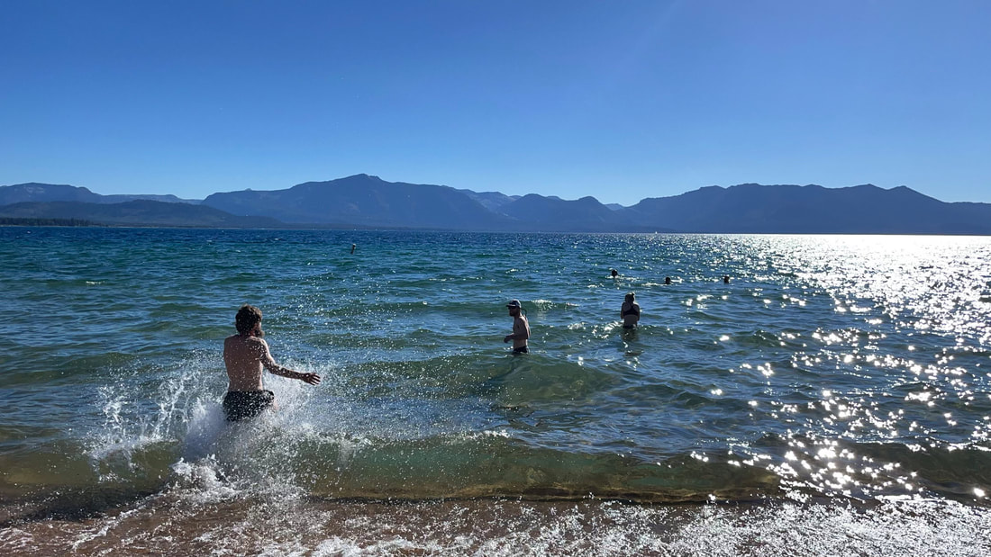
In Northern California I began to feel the trail blues that I had read from so many hikers about. I had this weird sense of a lack of progress, I was in my head that what I was doing wasn’t progressing me in life any. I thought that this was just a fun and games vacation before I had to go back to the real world. I was confused about where I was going and what I was doing, but with that confusion came my first sense of clarity. I realized that I want something of my own, a place, a business, whatever it may be. I crave something that I can mold into what I want, this was the first time that the thoughts of my next phase in life began to be goals I want to move my life towards. It was a magnificent feeling, after guiding my life towards doing the PCT for almost 6 years, I didn’t know what I was doing next, I had no next goal…. In NorCal that changed though, and I finally had my first guess of something I might want to work towards next.

Around 1700 miles in, at the end of July, Leapfrog, Sheriff and I had reached Etna and were a few days from the California/Oregon border. It was an amazing feeling, to be so close to being done with one phase and moving on into the end game and some of my favorite terrain in the entire country. As we hiked out of Etna Summit, Sheriff decided that she needed to slow down her pace, bad tendonitis was talking a toll on her left knee and making it hard for her to walk. We had become best friends out there and then some at that point. She was an amazing person to talk and walk with, her attitude kept me excited to walk even on the crappiest of days. On the morning of July 30th we said goodbye and Leapfrog and I continued ahead. I think that day of walking was one of my hardest mentally.

I spent the day somewhat assuming I might never see her again, this person who I had met and spent so much time with would fall behind and have her own journey as I continued mine, after all, we were both out there to hike the PCT in our own ways. I still had Leapfrog but now a big part of my support system was gone and I was curious how I’d do moving towards the finish line.

I did end up seeing Sheriff again, 3 days later in Ashland, Oregon. She had been 5 or 10 miles behind us each day and made it over the California border on her own two feet but that had seriously pissed off her leg. By the time we saw her again she could barely walk and her knee was swollen to the size of a small cantaloup. It was tough seeing her that way and I wanted to help the person that had helped me however I could, but I also still had my hike ahead of me. It was a difficult place to be in and I had an impossible decision to make, stay with her while she figured her leg out or hike on with Leapfrog.
Picture
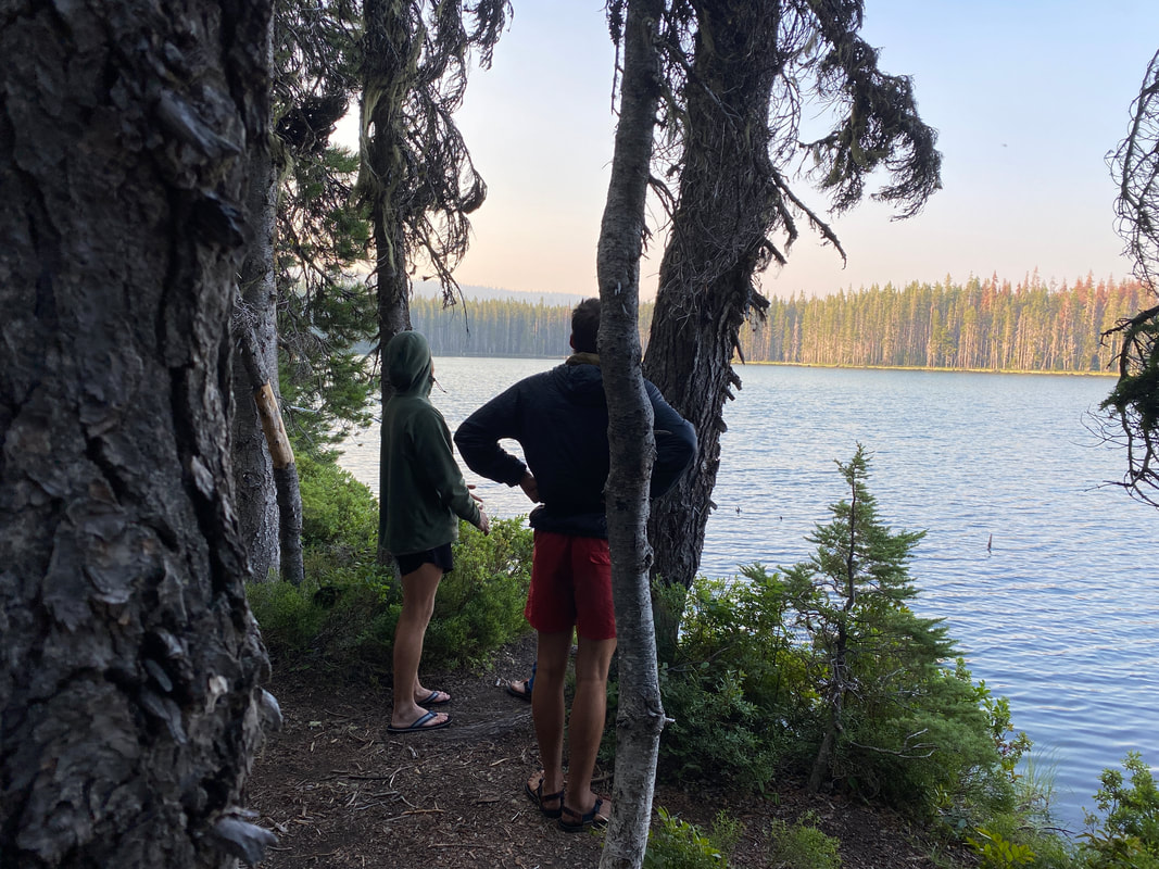
I ended up getting up the next day, packing my things and heading up the trail again.  Sheriff was a bit pissed at me for that one, and she had a right to be but I still had more to do.  She would never walk out of Ashland on the PCT, the injury would end her hike and 43 days later I would be done. This is probably one of the toughest decisions I made on the PCT, it affected the rest of my hike, how I felt about my days, how I saw the landscape, the miles and the people.  Even now, almost 6 months after the fact I still think back and wonder what my journey and life would be like had I decided to stay awhile longer instead of rushing on ahead. I often had this feeling that whenever the three of us would be around a group of people for a bit and start to become friends, we would at some point just blow by them and not see them again (we’d just done that with one of our own group members).  I craved consistent people to be around and only having Leapfrog (as much as I love him, his company and his discipline) wasn’t recharging me in the ways I needed.  Oregon was tough for me because of that.
 
The next month went by quickly, somewhere in northern Oregon, my hike changed.  I awoke in late August and the weather had changed; fall had set in just as I was walking through the Three Sister’s Wilderness. I talked to my friend Emily, who was beginning her own hike on the Colorado Trail.  I remembered my nervousness and excitement at the start of my hike then and I decided I wanted to be on my own to try and get back to that.  I reached Trail Days at Cascade Locks, and spent the weekend trying to decide if I’d keep going the way that had gotten me so far or change my pace.  I ended up hiking out Cascade Locks into Washington alone.  I made as many friends in my final month on trail as I had made in the first month in the desert.  I went my own pace, I made memories that are still crisp on my mind and had the first moments on the trail where I was actually making my own decision about continuing forward when things got tough instead of just hanging on. I never came close to quitting after Tahoe, I had tough days, but I had become stronger and nothing seemed as tough of a challenge anymore.
Washington was beautiful, the scenery, the people, everything.  Its somewhere I would very happily spend my life.  The days could go from rainy and cloudy to sunny and bright in the snap of a finger (and vice versa), the volcanos towered about the trail, asking to be climbed.  The trail crossed raging glacial rivers and snuck by sleepy mountain towns.  It was a great part of my hike and when I think back on it, it still feels as if it happened a week ago.  The Glacier Peak Wilderness was probably the hardest part of Washington.  I wanted to get to Stehekin so bad, to be a few days from the border would be (as was) an incredible feeling.  The trail in Glacier Peak Wilderness essentially circumnavigates the peak, you see it from all angles and you drop in and out of some of the steepest and largest canyons I’ve ever been in.  Honestly it rivals the Sierra in its vastness and remoteness.  Even that challenging environment I made it out of, and I made friends while I was doing it.  I remember one morning, walking by Smokey, he was sitting on the side of a hill (on top of a mountain) just looking off into the distance.  The view was incredible, the clouds sunk in the valleys and all you could see for miles around were snow capped peaks.  I was jealous of his ability to be at peace when my mind had my body racing forward.
Picture
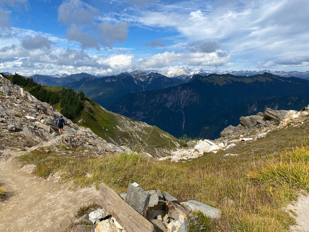
My final week I hiked with Chopper, Smokey, Fullmoon and a bunch of other amazing people. I went into my final day with a challenge to myself, run/hike my biggest day of the trail. I ended up doing 45 miles, I enjoyed the day with amazing people and I still met someone new on my final day (thanks for the hug at the terminus Keeley). My hike had changed in the fact that I was doing what I wanted and enjoying every moment I had those final weeks. It made me worried to be done, only half knowing what I wanted to do next but the sense of accomplishment and completion was overwhelming.  The hike back to Hart’s Pass and the real end of my journey happened in the dark, I was tired and wet but I was so full of emotion; happiness, accomplishment, excitement, all of it.  My final night before getting a ride out to Seattle I cowboy camped alone under a bathroom awning as the rain pitter pattered on the metal roof and the mist surrounded me.
Picture
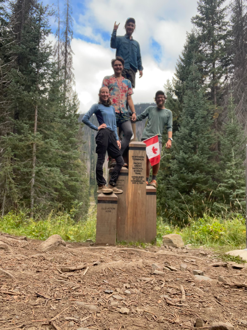
I got home after the trail and began the process of telling everyone what I had just done, of trying to breakdown this portion of my life into words. I quickly came to the conclusion, as have many other thru-hikers, you can’t.  There is something about the freedom, the goals, what walking and being around a bunch of like-minded people does to you that you can’t describe unless you’ve lived that life. Even if people say they understand, they probably don’t.  We had these sayings on trail, my favorite was “The trail provides”, if you put in the work, everything will work out, it’s a trust in life that I’m trying to bring back to my everyday life. 
Picture
I still talk to many of the people I met out on the trail, some daily, some weekly, some just every now and then.  I have plans to visit some, I imagine there’s other’s that I’ll never see again, but they all had their own impact on me.  I look at all the people I met and talked to and try to see how I could take what they had found in their life or their way of being and use their lessons to make my life better.  One of my best friends on trail, Naners, stopped working an office job as a PT and now works as a ski patroller and medic in Lake Tahoe.  Every day I see him post a photo in the mountains reminds me to never lose track of what you want in life and work towards it, to always do what makes you happy.  The trail showed me being outside is just as much about the people you go with and the inspiration you draw from each other as it is about the places you visit.
 
I finished the trail and I was full, my seemingly ceaseless appetite for adventure had been quenched. Now, months later, if you offered me the opportunity to go out and walk again, I would.  I would do it much differently than I had before, with less of a plan, a lighter bag and the freedom and willingness to break from a group when it felt right.  I think an eventual hike of the AT is still on my radar, but I’ll wait till it feels right to do in life, I’m in no rush.
 
I’m back in Cincinnati now, already starting to look for the next adventure (Presidential Traverse, Iceland backpacking and a summit attempt of Kilimanjaro are all in the books for 2022).  I have a good job, a nice place to live and spend my nights cuddled next to Wicket again.  I started dating Sheriff the day I left her in Ashland, we relive our moments on the trail constantly and are currently trying to figure out how our lives fit together. Leapfrog and I still see each other occasionally, he’s not far away in Cincy, working at Roads Rivers and Trails where we first met.  The trail gave me a sense of direction and a way of living that I’ll carry into my life for years to come, even as I finish writing this there are things popping into my head that I hadn’t noticed before.  I look forward to the next grand adventure I get to share with all of you and as always, thanks for reading.

Picture

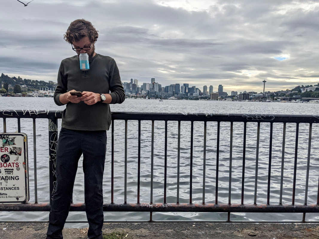
"Everyone you meet is fighting a battle you know nothing about. Be Kind. Always." 
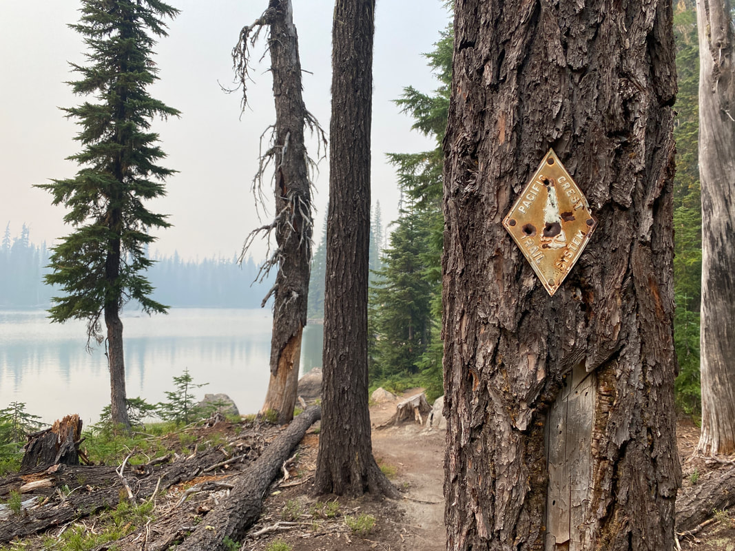
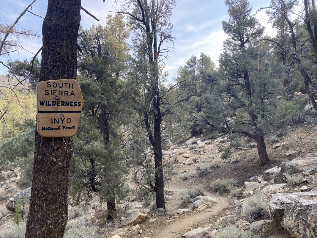
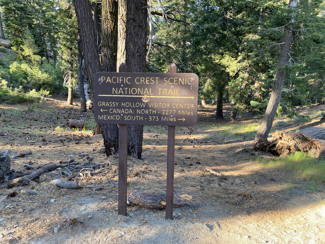
-Robin Williams

1 Comment

Part 19 - The End

9/12/2021

0 Comments

 
Steven’s Pass didn’t have much, it was a crappy place to finish and start a section but I was set on getting to Stehekin as fast as possible. I grabbed my box, charged up my phone and was back out on trail as quick as I had came in. That afternoon I found myself hiking with Chopper and Gringledorff, one of whom I had met way back in the desert and the other who I had met the Sheriffs Deputy that was searching for him in the wrong place back by Big Bear. They were good company and made 10 miles go by fast.

I didn’t want a much longer afternoon so I cut my day short at Janus Lake. Gringledorff joined me for dinner before hiking on. We talked about the trail and it’s complications, we talked about being tired (that was a common theme among hikers), we talked about life after this. Gringledorff had spent much of his life as a professional server, he knew people and he knew how to talk. It was conversation I was happy to have to get my mind moving. Once he left Smokey and Crabby Dabby rolled in to camp for the night, I hadn’t met them before but they’d be my company most nights on the next stretch and most of the way to Canada.
The PCT wanders through Glacier Peak Wilderness for almost a hundred miles and many consider it to be one of the toughest sections of the PCT. The trail is overgrown in places and very remote, in some spots it’s eroding with a hundred foot drop off to the side. You climb up and down through glacial valleys and cross roaring rivers of murky glacial melt water as you try to work your way around the mountain on the “trail”. In other spots there’s fallen old growth trees who’s trunks are feet taller than you that you have to climb over to continue down the trail. It’s a difficult place to be, especially when you’ve already walked 2,500 miles.

Glacier Peak Wilderness is a beautiful place though. It’s got some of the largest trees you see on the PCT. The vistas of the mountains are amazing and you spend time in some truly incredible alpine environments. There’s fresh flowing, crystal clear water almost everywhere and you can find blueberries and huckleberries along the trail every other mile. It’s beautiful, but it challenging.

As I spent four days wandering around the mountain, winding my way towards the small town of Stehekin I thought often about the end. Dreaming of life after the trail. Ready to sit on a couch and watch movies all night. Ready to go have a beer and play a game of pool with friends. Ready to pet Wicket until all his hair falls out. Ready to walk to the fridge and get cold food, water and a soda. I missed the comfort of “normal life” and I was ready for the end.

On September 8th I walked out of Glacier Peak Wilderness and into North Cascades National Park at a place called High Bridge. A shuttle bus took me to the small town of Stehekin where I enjoyed delicious baked goods, beer, soda, a shower, laundry and all the other simple pleasures of town. I swam in the lake with new friends and bullshitted about plans for the last section of trail. It was a welcome break before getting ready to go finish my journey.
I woke up early the next day to the light pitter patter of rain on my tent. It was breezy and cool down by Lake Chelan as I waited for the bus to take me back to trail. I hit trail with the burn of being ready to be done. Quickly I hiked up to Rainy Pass at Highway 20, I could’ve so very easily called it quits here and gotten in a car to Seattle but I continued. Some trail magic on the north side of the highway gave me just the kick I needed to climb up to camp just below Cutthroat Pass. I was 57 miles from the end, I could finish in two full days if I really wanted to.

I didn’t have the energy to do that though, or the want. I figured I could do a full day to Hart’s Pass, a short day to within 15 miles of the Canadian boarder and then run the final day to the Northern Terminus and hike back to Hart’s. It was an ambitious plan. I’d have a medium day to Hart’s, a pretty easy day to my mid-point camp then a very long and tiring day back to Hart’s. But I figured that last day wouldn’t matter cause once I touched the monument there was no worry about needing to hike onwards. I’d be done. My body could be ruined for a bit, it would finally have the time to heal after four months of pounding.
Picture
Most of that plan worked out as I thought but I had an unexpected “the trail provides moment”. As I was starting to fall asleep on my final night my friend Fullmoon showed up where I was camping and called out “Flapjack?”, quietly wondering if he was at my tent. I poked my head out happy to see him. He told me he had a friend coming up Sunday morning and might have room for me to get a ride to Seattle. I was ecstatic, that was my biggest logistical hurdle of the end of trail, “How the hell do I get out of the middle of nowhere?”

So the final day I hit trail at 5AM and ran 15 miles to the Northern Terminus by 9AM. I enjoyed time there with friends soaking in the moment before running back to my camp halfway to Hart’s Pass by 2PM. I had a good amount of time to sit there and reflect while I waited for everyone else to return south. It was relaxing, the first time in months I had sat on trail and not felt like I needed to rush to be somewhere. It was like a regular old backpacking trip now.
I waited till about 5PM and Fullmoon hadn’t shown back up. All my other friends were hiking back to make a shorter day on Sunday. It started to rain and I was getting ancy so I wrote a note that I was heading back and left it at Fullmoon’s tent. What I thought would originally happen, happened. I hiked till 9PM and covered the 16 miles back to Hart’s Pass Campground. I wandered in with no one else there and took refuge from the rain under the awning of the bathroom. I’d covered 45 miles in 16 hours, my biggest day ever and my last of the PCT.
Picture
When I woke up Sunday morning and enjoyed a hot breakfast and a cup of coffee, it finally set in that I was done. It finally set in that I had completed this monumental undertaking. It also set in that I now had to begin pulling my life back together.

My belongings were scattered all over Ohio, I needed to get my doggo back, I was jobless, homeless and still smelled pretty bad. My first goal would be to get a good meal and a shower then let the rest fall into place. Just like we would always say on the PCT, “The trail provides”.
Picture
0 Comments

Part 18 - Coming To A Close

9/8/2021

1 Comment

 
I woke up next to a beautiful lake a few miles outside of Rainier National Park. The night before had been the first night I camped alone the entire trail and the first night I stayed up late and looked at the stars. I had been on trail 110 days… It was cold and frosty that morning but I was excited to get to Chinook Pass where I’d be getting picked up to take a night off trail.

The day went by quickly, the miles were steep but in the afternoon they were dominated with views of Mt. Rainier. By 8PM I was laying in a hotel bed happy that I had rushed through 29 miles to get there. I had a belly full of food, cleanish clothes and soft shampooed hair. I thought about how easy it would be to just go to Seattle from there and fly home. How I could just be done. There was still more fun to be had though and I was still having fun with the hike.
I got back on trail late the next day. I debated for awhile if I was gonna go 18 miles or 23. 18 miles would put me on track to get to Snoqualmie by early evening on the 31st for a job interview and to enjoy my last night in a bed during the hike. 23 miles would put me on track, and then some and also let me sleep in a cozy ski cabin for the night. I figured I’d see how fast I covered the miles and play it by ear, something I was happy to be able to do hiking solo. By 8PM I got to the cabin right as the sun was setting. I happily made pancakes for my friends there before dozing off to sleep by a warm fire.

The following day I was already back to dreaming about town. Snoqualmie was only a day and a half away but it felt like ages. I lost the group I was hiking with when I decided to setup camp before then. I was happy though, it started raining right as they walked past me. I sat in my tent that night watching the news on my phone trying to catch-up with the world.
I’d get to Snoqualmie on Tuesday the 31st, it was a wet and rainy day, I couldn’t have been anymore excited that I had booked a room at the Summit Inn for the night. I spent that evening dry; doing job interviews, eating pizza, sipping local beer and watching movies (thank you to everyone who donated to the Dirt Bag Fund a week or two ago, you made this dream a reality). It was exactly what I needed to get me ready for the final 250 miles of trail.

On the 1st I hit trail later in the day but still covered some good miles. The climb out of Snoqualmie was the first BIG climb I’d had in awhile. It would come to be the standard of northern Washington, big climbs and big descents. The trail went straight up and then straight down every valley that it could. The days of simple ridge walks or wandering along a valley floor for a bit were over. To get 25 miles in a day now meant 6,000’ of climbing a day.

The views were beautiful in this section. Each valley was different, some were lush and green, others harsh and rocky. The challenge made sense, you couldn’t get to see this beauty and finish the trail easy. There had to be a final hurdle. I was lucky to spend some of those miles with Fullmoon, Prime Time and Skippy. They were an unsuspecting group that I sort of flung myself into at Snoqualmie but they seemed happy to have me along once I made them pancakes.
Before I knew it I had found my way to Steven’s Pass. That last day in I’d seen 3 bears, it made the miles seem a little longer than they should have. I was lucky to be able to get my package on time and continue quickly back out onto the trail into Glacier Peak Wilderness. I wanted nothing more the past few days then to be in Stehekin, on the precipice of finishing this grand journey and mighty challenge that’s taken me four months to complete. So close and so tired.
1 Comment

Part 17 - Crossing The Bridge

8/29/2021

0 Comments

 
Leaving Cascade Locks was difficult. It was a fun place, there was still good times to be had there. It was also a place I easily could have put my journey on hold and come back to finish the trail later. My stubbornness would hold true and I’d leave town mid-morning to walk across The Bridge of the Gods and climb back up into the Cascade Mountains.

It was a moody, rainy and windy day, the kind I like. It felt like the climb out of town went on forever. Everytime I hit what should have been a mountain vista, it was fogged out. There were less people on trail than I had expected, they also weren’t going as far as I expected. I was lucky, as my day dragged on I found the last spot to setup a tent right before a big climb. That night I would make new friends and enjoy one of the best nights of sleep I think I’ve had all trail.
The next morning was a full day and my goal was ambitious. I didn’t know how the day would play out but I made it 15 miles to Panther Creek Camp Ground before noon, so I planned to do a 30 so I could end the next day with a night in Trout Lake. That would give me sometime to relax there the next morning. The day turned into a 36 mile day, my biggest yet. I had a shin split start acting up midday so the afternoon was miserable as well. Luckily I got to end my day with a cold soak of the legs and feet in a beautiful lake.
Picture
On Tuesday, I’d wake up cold and quickly make my way 23 miles to Trout Lake. It’d be a fast but good feeling morning. I was looking forward to town and I’m looking forward to towns the next few days and weeks. Luckily the carries are short in Washington and the outpost of civilization are abundant. Dinner was a delicious Reuben sandwich and the locals had plenty of free drinks to hand out to thirsty hikers. I ran into Will again before he sprinted back out to the trail and enjoyed getting to know new friends better while we relaxed for the evening.

That night in town I posted my last blog of Oregon on Facebook with a quippy joke about Venmoing me for a breakfast fund. To my great surprise so many friends and family reached out and sent money for food, drinks and whatever else was needed for the rest of the journey. I can’t begin to tell you how good that breakfast tasted…. I also can’t put into words how thankful I am for everyone who reached out. I’m only ~15 days (~350 miles) from the finish as of posting this but sometimes it seems like there’s still eons to go. Knowing that there’s people rooting for me all over and that would kill to have the opportunity I’ve had keeps me going.
Picture
I left Trout Lake on Wednesday the 25th and began the climb up the western slopes of Mt. Adams. It’s a beautiful peak I’d be starring at for days and thought about trying to climb a little over a year ago. That afternoon hike was difficult, my mind wandered wildly but the terrain was beautiful and rewarding to hike in. Glacial valleys, alpine Meadows and beautiful mountain vistas. By the evening I had made my way to Killien Creek and found my friend Dirty Nucks there. We chatted over dinner and discussed our mixed feelings about these last few weeks of trail ahead. We were both tired, but we were both set on finishing.
Picture
The following morning was cold but I quickly found friends. The miles flew by as I hiked and talked with Double Barrel, First Class, Tea Time, Mona Lisa and Dirty Nucks. By the end of the day I would meet Five Star and Cyclops. The day would involve a lunch full of laughs, blueberry picking and amazing Mountain Views entering Goat Rocks Wilderness. We’d all camp together that evening just over Cispus Pass. It’d be a rainy evening with many laughs and as many tents as you could ever fit in a 20’x10’ space. They were great company.
The day heading into White Pass we all got up together and began the climb up Old Snowy. It was fun to do the miles with other people, it was enjoyable to share the wonderful views with friends. At the top we had views of Mt. Adam’s (which we were leaving), Mt. Rainier (where we were heading) and Mt. Saint Helens off in the distance. I hit a point in the day where I wanted nothing more than to just slow down and enjoy it but I was in a rush to keep on schedule for other plans the following days. As we descended down the Knife’s Edge on Old Snowy the fog closed in and I sped up. I’d get to White Pass a few hours before everyone else, resupply, charge up and continue on just after they all wandered in.
It was good to know I could still make new friends this late in the game and it was good to know they wouldn’t get too far ahead when I took time off later in the week. I hope for the rest of my hike to be filled with moments like these. New friends, beautiful views and lots of laughing. I have 350 miles to go. It’s a long way, but I’m ready for it.
0 Comments

Part 16 - The Beginning of the End

8/22/2021

0 Comments

 
Getting around the fire closure in Oregon wasn’t too bad. Everything went right according to plan, we were even able to throw a few extra people in the car and make use of the extra space to maximize the magic. Got breakfast in Sisters, met some fellow Cincinnatians and found all the goodies I needed for the next stretch of trail. Just after noon I found myself at the Frog Lake Trailhead about 12 miles south of Timberline Lodge on the slopes of Mt. Hood.
I’d separated from Leapfrog to get to Trail Days a bit sooner so I was close to 15 miles ahead of him. This was the first time on trail we’d gotten that far apart and the first days of us each hiking on our own. That first day I climbed up the south slope of Mt. Hood and the great peak revealed itself to me as I reached the upper slopes. I got lucky and some friends offered me a warm bed in Timberline Lodge that night, it was a welcome treat.

The next day I was tempted by a buffet breakfast and a chance to have a slow day but that wasn’t what was in my cards. I hiked 29 miles that day, not planning to have made it that far. I went by gorgeous waterfalls and beautiful ever changing views of Mt. Hood. Around 2PM I made it to Lolo Pass and some wonderful trail magic, a peanut butter and jelly sandwich and some watermelon. By the evening it was windy and cold, fall had arrived.
The last day of Oregon I walked down the Eagle Creek alternate past the famous Tunnel Falls and other beautiful sights along the river. It was a treat and a moment to breath. I was excited to get to Cascade Locks, I was excited to be ending Oregon and I was excited to see friends at Trail Days, a celebration of everything PCT for the weekend.

PCT Days was relaxing, it was chaotic and it was fun. I enjoyed seeing friends, old and new. I enjoyed having fun and getting lost in the crowd. In these few days I decided that I wanted the rest of my trail to be a random adventure. I didn’t want to plan ahead, I just wanted to do what feels right each day. Unfortunately you can’t do that with a partner so I decided that I’ll be hiking on my own the rest of the way. I’m sure Will and I will continue to see each other and be in the same bubble but the need to pick my own adventure has overcome my want to continue this journey with a partner.
I’m not sure what the coming days or weeks will bring but I still have high hopes that the rest of this journey will be amazing and enjoyable. I’m excited for the days ahead. I’m excited to finally enter Washington and hopefully finally make my way to Canada.
0 Comments

Part 15 - The Sisters

8/18/2021

0 Comments

 
I went into this section with hopeful anticipation. I was tired of walking but I was excited for the miles ahead. I knew they were beautiful, I knew it was just a short time until I would be through Oregon and I knew the end of this journey would start approaching quickly. We had taken a few days off while Leapfrog’s girlfriend came out to visit and the final day of the break sitting by Diamond Lake I could feel my mind and my legs very ready to get back to trail. It was hard to know if it was cause I wanted to get this next section done or because I knew what the trail had in store for me.

The first day out we pushed 31 miles, cruising past Mt. Thielsen and finishing what I hope will be our final long water carry. The whole day I passed new faces, people I had never met before. Our bubble was gone and had faded into the massive Oregon bubble that had formed. From talking to SOBOs we figured there were about 50 hikers in each 25 mile stretch of trail all the way from Ashland to Oregon. Everyone was in the state at the same time this year cause of the fires in NorCal.
We ended the day finding our old friend Poppins. It had been almost 800 miles since we’d seen him. He’d been enjoying his time and fighting his way around the fires with everyone else behind us. It was good to see an old friend, it meant there were probably more just ahead.

On the 14th we cruised our way to Shelter Cove, a resort on Odell Lake. Diamond Peak was beautiful, and it’s glacial water was a wonderful treat for lunch, along with the lakes and ponds that dotted the land but ending the day at a resort was even better. I had a delicious burger and a soda, took a bath in the lake and we found even more friends that had been just behind us before we took our zeros earlier in the week. It was a good place to end a day.
Picture
I spent a lot of that second day out trying to figure out how I felt about the journey so far. Truth be told, I’m tired of walking, I have been for a couple hundred miles now. There are still beautiful sections and places and there are still wonderful moments along the way but what I found simple pleasure in has found its way to feeling like a job. I’m going to spend the last hundred miles of Oregon trying to change that, but at this point I’m less than 30 days to the end so I can suffer as needed (if needed).
Picture
The morning of the 15th we found our way out to Willamette Pass and up into the 3 Sisters Wilderness, we’d spend the next three days here. It was a land of lakes and ponds, dotted with burn zones, sporadic granite cliffs and a slow change to volcanic rock as you continued north. It was somewhere I’d love to come back to with a Kokopelli packraft and a 12 pack of beer to spend the weekend exploring each lake along the way.
As we approached the South Sister on the second day, you could start to see the faint patches of snow higher up on the mountain. It was a sign if what was to come. That afternoon we found our way down to Elk Lake Resort for yet another resupply, afternoon drink and some warm food. Part of me wanted to stay but I knew McKenzie Pass and the final push out to Washington was only a day away.
Picture
The next morning I woke up to the sound of rain on my tent. It was cold. The mid-70s of the day before had crashed down into the upper 40s. Getting out of bed wasn’t terribly hard, I was excited for the cold weather. The wind later on in the day would prove to be less than ideal though. The mountains were moody this morning as I wandered my way through the best parts of the Three Sisters. The peaks faded in and out of clouds and the landscape became ever more volcanic. There were blueberries to snack on everywhere. It was beautiful and reinvigorating.
On the 18th we’d find our way to McKenzie Pass with a friend waiting to drive us around a fire closure. We’d make new friends helping some other hikers getting towards Bend (shoutout to Darrin, Kaitlyn and Oscar), we’d run into Stretch and Steer and help them bounce around the fire closure as well. I’d be dropped off just south of Mt. Hood and the three day race to get out of Oregon and make it to Trail Days at Cascade Locks would be on. It was exciting and also tiring. Excited to be finishing Oregon, tiring to know I still had 500 miles (about 3 weeks of hiking) ahead.
Picture
0 Comments

Part 14 - Taking A Break

8/11/2021

0 Comments

 
The section from Ashland to Crater Lake wasn’t physically challenging but I found myself in a mental battle for the week. Oregon had given us the first truly “wavy” section of the PCT. Even the big climbs were small and the trail was gently graded up and down. I found myself tired though. Three months on the trail hadn’t settled anything in my mind. I was missing the simplicity of a life of not walking (although walking is pretty simple).

The first few days we resort hopped, going from outpost of civilization to outpost. Hyatt Lake to Fish Lake, to Crater Lake. It was easy and fun miles, we kept finding old friends along the way and it was a reminder that we were all still out here going north together. As we left Fish Lake Resort I found myself going back and forth between being happy I was on trail and wanting the rest of my time to fly by. I was increasingly spending time on trail sending out resumes and filling out job applications when I had cell signal, looking at houses to rent and all the other things I would need to do to get my life going again.
For a few weeks I’ve been dealing with knee pain, most likely quadricep tendinitis. It’s been a challenge to get up every morning knowing I was going to spend a few hours in some level of pain or discomfort before it warmed up and soothed itself out for the afternoon. I’ve been stretching, taking morning ibuprofen and sometimes applying Tiger Balm in the afternoons if it didn’t calm down. The reality of tendinitis is it dosen’t really heal until you cease activity, which I can’t do just yet. I think that that discomfort though is a large reason for me being ready to be done. It’s this feeling of my body physically telling me, you should take a break. But I’m only 700 miles from the finish…

As we crossed 1800 miles and entered Crater Lake National Park, I felt the resolve to finish what I’m doing and complete this years long goal but I also felt the need to finally figure out why I’m doing this. I wanted to know what was the purpose of this long walk for me. I’d spent years dreaming about it, I’ve spent months walking. I’ve seen beautiful things, been amazing places and met wonderful people, but what was it all for. Was there no purpose or outcome of this grand journey? Is the purpose for me to appreciate what I have? Is it to understand the world in a different way? I worry sometimes that I’ll come out of this in a month more confused than when I went in with no sense of direction. Thru-hiking probably isn’t meant to hand you an epiphany, you still have to find your own meaning.
I’m taking a few days off trail now to rest the legs and the mind. To sleep in a bed, binge watch movies and let my body go comatose for a bit. On the other side of this final break I’ll have a five day sprint to the latest fire closure near McKenzie Pass, a day to get around that, then two days to arrive in Cascade Locks on August 20th for PCT Trail Days, a celebration of everything hiking. In about a week I’ll be done with Oregon. Ahead of that lies the final 500 miles through Washington, 21 days to the Canadian Border, 3 weeks of the final push. I hope to find my meaning for all of this in those 30 days. I hope to enjoy as much of that time as I can.
0 Comments

Part 13 - Entering Oregon

8/3/2021

0 Comments

 
We left Etna in the evening with a hitch from the retired fire chief. He talked to us about the mountains and you could tell he had a long history with them. As we arrived back up at Etna Summit it started pouring, not something you want to come back to trail to. We quickly got on pack covers and rain gear and began the two mile hike to camp. The rain subsided quickly and we got cozy on the ridge. A quick in and out of town was a good thing in this case.

The next morning Will and I said goodbye to our friend Sheriff, she had hiked close to 1300 miles with us at that point but her knee was giving her problems and she decided she should slow down for a bit. I was sad to see her go, I’m certain that in a lot of ways she had been the glue that had allowed Will and I to hike together for as long as we have. The next two days were burnt and bushwhacking hell. Years and years of burn zones had piled up and you got the impression that the forest service didn’t have the time or the care to come clean up the trail of down trees and over growing bushes.
After two days out of Etna we arrived in the town of Siead Valley. The day into town had been a fourteen mile trudge downhill and my knees were feeling every bit of it. When I got to the general store I found a gaggle of hikers hanging around. Everyone was discussing plans for the next few days, excited to get to Oregon and tired of the heat (it was especially oppressive that day). The restaurant and inn up the highway made a nice place to hangout for the evening, charge phones, do internet errands and all the other hiker town chores.
The next morning we got up at 5AM and climbed 7,000’ out of the valley and back into the ridge. The climb wasn’t bad and there was a nice breeze at the top. We spent the day finding other hikers up on the ridge and gossiping about a potential fire ahead of us. We’d seen helicopters flying around all morning but no smoke. The next day I would run into two firefighters who told me it had just been a little spot fire that they quickly put out.
Picture
We crossed the Oregon border on the second day out of Seiad Valley. It was a weird feeling to finally be out of California after 3 months in the state. These new Oregon miles were pleasant and the company was wonderful. Crossing the border didn’t change anything about the trail but it changed my mindset completely. I felt rejuvenated and hopeful about finishing. I felt excited for the miles ahead. I was still sore, I still had things that hurt but they weren’t the focus of my attention.
Picture
That night, before crossing under I-5 (again) and arriving at Callahan’s Lodge we cowboy camped in Grouse Gap shelter. Mt. Shasta was still staring at us off in the distance (to the south now). The smoke from a fire that had gotten out of control near Etna clouded the sky. It had the vibrant red of fire retardant, a reminder that we still had challenges ahead.
Picture
0 Comments

Part 12 - NorCal

7/31/2021

0 Comments

 
Coming out of Burney it was hot. Temperatures in the lower 90s and full sun. The forest hadn’t yet closed in around us as it would in the northern most parts of California and for much of Oregon and Washington. The summer heat had really caught up but luckily this section had plenty of water.
I’d spend three and a half days walking through the Shasta-Trinity National Forest to Castella at the PCT crossing of I-5. It was a time I spent in my head for the most part. I started thinking a lot about what crossing the Oregon boarder in about a week would mean for me. I started to think about what I needed for the push through the Pacific Northwest. I started thinking about what life would be like after this and where I would go home to.

As we closed in on Castella and Dunsmuir, Mt. Shasta revealed itself to us day after day and the forest closed in to provide shelter from the sun. Physically, I felt strong but mentally I was tired. The beauty of the trail and the joy of long hard days was still there but the feeling of monotony had set in as well. Twenty-five mile days for weeks on end had become tiring. The smoke from the Dixie Fire blowing around us and clouding out the sun became obnoxious. I needed a break from trail and luckily it was right around the corner.
Picture
The tiny town of Dunsmuir was a welcome treat. It had all the things hikers need, hot showers, warm food and a grocery store full of goodies. With the Dixie Fire burning down south other hikers were getting pushed north having to skip miles so we started running into old friends we hadn’t seen in months. After a day of rest we were back out of the trail with 6 days ahead of us to Seiad Valley and 8 days to the Oregon Boarder, something I was looking very forward to.

The first day out of Dunsmuir was smokey still, there were tons of hikers that had bounced north and the trail climbed back into the mountains. The next few days we pushed further each day to get ahead of the fire bubble. The views were beautiful through the Trinity Alps and Klamath Mountains, it was the beauty I remembered from my last adventures in North NorCal. The mountains were stunning, the views went on for miles and the trail wandered along ridges with plentiful water.
Picture
There was one day where it got cold and rained, a sign of the fall weather to come. A reminder that getting to Canada was still something that could be put off by snow and other weather up north. It was a nice break from the heat though, something that gave me a want to push north and get to the cooler colder weather.
After wandering through the mountains we found our way to Etna Summit and the small town of Etna down below. It was a wonderful little town and I wish it had been more accessible cause I would’ve spent a day or two there enjoying the pool, the brewery and all the town had to offer but the Oregon boarder was calling. Four days later I’d hopefully be looking at the boarder sign leaving California with the hope of touching the Canadian border a few weeks later.
Picture
0 Comments

Part 11 - Wildfire

7/21/2021

0 Comments

 
The past week has been a whirlwind, it started at mile 1200 and ended past mile 1400. After getting to Sierra City, enjoying an afternoon in town and trudging on I found myself climbing up the Sierra Buttes the morning of July 14th. My bag was heavy but I was excited to finally be in NorCal and beginning the end of this state. The views for the day were beautiful and we watched the smoke billowing from 3 separate fires in surrounding valleys. We made new friends in the bubble we found in Sierra City that first day and I enjoyed that a lot. In the evening we sat by A-Tree spring and I made pancakes for about 10 happy hikers.
Picture
The next day we hiked through an area that had burned the previous year. What had probably been a wonderful hike down to the Feather River was black, burnt and dusty as hell. I watched a fire to the north for a large part of the day wondering if it was the Dixie Fire near the trail and spending a good bit of time imagining what it would be like near that fire. I checked my phone for signal just before we dropped off the final ridge of the day and noticed a new notification on the PCTA page.
The fire I’d been watching was indeed the Dixie Fire and it had begun moving towards the trail. The PCTA and National Forest Service had decided to close the trail from Bucks Summit all the way to mile 1301. The nearest spot to easily hitch back to trail was mile 1328. It meant we’d have to skip close to 50 miles of trail which was definitely a bummer but luckily it was a good spot for a closure to happen.

The town of Quincy was a stones throw away and a bus ran from there to Chester making the logistics of getting north that much easier. By the end of the 3rd day we had gotten to Quincy, filled our bellies and bags with food and found a trail angel in Chester who let us camp in her yard. Everything worked out but this meant we were catapulted ahead of schedule by two days and would probably be getting to Drakesbad before our packages.

The plan we hatched was to hope the USPS was feeling speedy and hit the trail from CA-36 south to tag the PCT Midpoint marker (a symbolic moment on our journey north), then the next day we’d head to Drakesbad and hope our packages arrived earlier than expected. It was an exciting moment to hit the midpoint marker, it meant halfway in miles and over halfway in time since we planed to do bigger miles for much of the rest of the walk.
Picture
Everything worked out great in those two days. The trail was cruisy, everything I was trying to juggle getting done in Cincinnati was being taken care of and our packages arrived early. We entered Lassen National Park almost four days sooner than we’d expected. Time was flying.

The mountains were smokey from the Dixie Fire, every once in awhile ash would rain down or it would seem like you were hiking in a dense fog. Sometimes of the day, the sun would seem dimly orange. It was an odd experience hiking in forest fire smoke. We’d spend the next four days in and out of the smoke cloud of the Dixie Fire, a reminder of what was going on behind us.
Picture
Leaving Drakesbad we wandered our way through Lassen National Park, we saw bears, alpine lakes, ancient cinder cone volcanos and massive burn scars on the landscape. It was nice to check another National Park off the list. By the end of the day we had explored lava tubes, gotten lunch from a deli in Old Station and covered over 30 miles. We’d moved fast and the fun wasn’t over. We ended the day camped out on Hat Creek Rim with a magnificent view of the sunset and Mt. Shasta off in the distance.
Picture
0 Comments

Part 10 - Coming Down From The Sierras

7/17/2021

0 Comments

 
After less than a month in the Sierras we found ourselves in Sierra City with the last official mountain of what’s consider the “Sierra” in front of us, the Sierra Buttes. I’d hiked through 3 National Parks, been hailed on, swam in alpine lakes for days on end, got eaten by mosquitoes, fell asleep listening to rain pitter patter on my tent and much more in such a short amount of time as I traversed the Sierra Nevada Range. After this carry we would find ourselves climbing out of Sierra City into NorCal and onto the first mountains of the Cascade and Klamath Ranges.
Picture
Leaving Tahoe was tough, I was tired and beat from walking 1,100 miles but I knew I had more to go. The section from Echo Lake to Sierra City was beautiful and the perfect kind of terrain I needed. I didn’t take many pictures this time around because I felt as if I was too busy moving through terrain. In the high Sierra I felt like I needed to capture every vista but now I felt as if I needed to move out of and on from these mountains as fast as I could.

The Desolation and Granite Chief Wildernesses were a treat, some final alpine beauty. Getting near Truckee we had cell signal on and off everyday and it was a pleasure to reconnect with normal life a bit after being removed in the mountains for a very long time. It was a weird but wonderful section from Tahoe to Sierra City. The ease and enjoyment were hopefully a sign of good things to come in the following weeks.
The plan for the rest of July is to get out of California by the end of the month. My best guess is I’ll get over the boarder on August 6th. There’s a lot more to come in NorCal (Lassen National Park, the halfway point, etc.) but I’m excited to leave California in a few weeks. I’m ready for big progression in this journey and I’m confident I can make it the rest of the way.

Mentally thru-hiking can have it’s days where it’s harder than anything you do in your regular life. You spend 12 hours a day walking and some days you end up walking alone with your thoughts. Your mind can play tricks on you, it can encourage you and it can tell you to sit down by a lake and enjoy the afternoon breeze even though you still need to cover 15 more miles. The challenge is real and in Northern California, after many of us have now spent over two months on the trail it’s something you have to pay attention to. My goal for the next month is to stay positive, to be a beacon going north for both myself and those around me. There’s tough days ahead but I’m excited for the challenge.
Picture
0 Comments

Part 9 - Leaving the Sierra

7/7/2021

1 Comment

 
The days leaving Tuolumne Meadows were wet and the miles were harder than I expected. It rained the afternoon we arrived, for 5 hours the following day, and for several hours in the following afternoons. The Sierras were giving us one last challenge before we could be let free to move into NorCal. Although the Sierras don’t really end until Sierra City in another 200 miles, in my mind they were coming to an end as we began to exit Yosemite Wilderness and leave the high peaks behind.
We enjoyed our last alpine lake for awhile at Dorothy Pass before going over the pass on our third day in the Yosemite Wilderness. As soon as we crossed over, the mountains on the other side immediately changed. The colors went from white granite to pink and red. The ground went from solid stone to soft pine and volcanic scree. It was an abrupt change, the mountains were showing us the continuation of our journey.
As we made our way to Sonora Pass I became excited to get rid of things I had been carrying in my bag for weeks, mostly my bear can. When we reached the pass we were greeted with an amazing lunch buffet (Thank you Retro!) and an easy hitch down to Kennedy Meadows North. To my dismay, the wifi didn’t work so no getting any planning or posting done but we did all the usual town errands, laundry, showers, snack resupply, and a good big dinner.

On July 4th we left our midway to Tahoe stop for three and a half day traversing several different wilderness areas. There was part of me that didn’t want to leave, I just wanted to enjoy some time off, maybe soak in the holiday, but I knew that was just a few days away in Tahoe. We hit trail with a beautiful day and even more beautiful terrain. It was a treat to get a break from the mosquito hoard of Yosemite and the miles felt like they rolled right by.
Picture
When I got cell signal towards the first big climb of the day, I started getting messages from trail friends showing what they were up to and asking where I was. I found out that most of the people I had spent time with in the desert and thought I’d be seeing in the High Sierras were almost a hundred miles behind me back in Mammoth Lakes for the 4th of July. It was a weird feeling thinking I might not see them on trail again with that big of a gap between us and only growing larger as we increased our miles heading towards Tahoe.
As we neared Tahoe the mountains became volcanic and the terrain “flattened” out. The big climbs became rolling hills. The granite mountains became canyons and sheer cliffs that had eroded into the jagged faces they were. We hit a highway every other day which was a treat for dumping trash and getting trail magic from day hikers.

On the final day climbing out of Carson Pass I saw Lake Tahoe off in the distance. A blue disk that almost looked like a grassy valley in the mountains through the haze of the day. The thing I had been looking forward to for a very long time was finally here. Getting to Tahoe marked a moment of celebration for me. It was something I had been looking forward to for a very, very long time. I hoped the next days would bring me some relaxation and some refocusing for the last month in California.
Picture
1 Comment

Part 8 - The High Sierra (Continued)

7/4/2021

0 Comments

 
Coming out of Vermillion Valley Resort, my mind was in a different place. My goal has changed from just trying to keep moving with the hike to trying to enjoy it for every moment oI have. I know there are hot, thirsty and hungry days ahead but I also know that the desert and the High Sierra are two things that all PCT hikers talk about having had a part in strengthening them.
We left VVR to head to Reds Meadow and a much needed day in town. The miles were relatively easy, the terrain was finally turning into that Northern California sand and pine and the mountains were getting progressively more steep with sheer faces as we worked our way towards Reds Meadow and Yosemite. Our stop in Reds Meadow and Mammoth Lakes was met with many good surprises. We found Leslie and Charlie, two trail angels from SoCal, hanging out for the weekend, met back up with many thru-hiking friends we hadn’t seen in weeks or even months and ran into Legend (again), an angel you can’t hike the PCT without meeting.

The day in Mammoth was filled with drinks, pizza, new gear (my stove broke and my shirt has been getting progressively more permanently smelly) and a nice moment to relax from the hike north. I’ve gone back and forth about the power of trail towns on this journey. At one point I had said I would want to be in the mountains as much as possible uninterrupted. At other points I’ve found a few places I loved so much they almost made me want to quit and stay forever. Going into town on the PCT is a mental and physical necessity I’ve decided. One needs a break from the monotony and the sometimes struggle of the trail to keep themselves moving onward.

After leaving Reds we slowed our pace and spent the next two days lounging by an alpine lake and then enjoying some of Will’s friends who had been hanging around and working in Yosemite National Park. Finally having the time to slow down and not worry about food, water, pace or anything else was rejuvenating for a few days. Taking an afternoon nap, floating in a lake and eating as much food as I could felt like a little vacation, almost like this was just a week long trip coming to an end.
Picture
Coming out of Tolumne Meadows heading north to Lake Tahoe, we’ll be picking up the pace ever so slightly. Once we reach Tahoe, the July heat will be kicking in, the summer will be upon us and it’ll be a race to get out of NorCal before any fires get in our path. The hope is to be entering Oregon by the first week of August, then we’ll be just a few weeks away from the end. Having walked 900+ miles, I feel as if the end should be so much closer but luckily there’s still much more to come.
Picture
0 Comments

Part 7 - The High Sierra

6/27/2021

3 Comments

 
I think the section of trail I’ve been most excited for is a split between the High Sierras and northern Washington. Finally getting to Kennedy Meadows meant that I was about to enter the High Sierras and get to enjoy one of the best sections of trail. There aren’t words to describe these mountains to be honest. I thought I might be able to compare them to the Sawtooths in Idaho or the Wind River Range in Wyoming but something I’ve learned is that sometimes you can’t measure things up against each other.
The Sierras are big, tall, expansive, diverse mountains. As of writing this, I’ve only walked about a quarter of the range with so much more to go. I’ve crossed alpine meadows, swam in a different lake every day, summited the tallest peak in the continental US, been harassed by mosquitos, passed the 800 mile mark on the PCT and had many wonderful experiences. At the end of the Sierras, probably somewhere past Sonora Pass I plan to put together a video to share what I saw. I don’t think I could write the last nine days of my life out that well...
To go into detail about everyday on this section would be far too much work cause so much did happen. To simply sum it up, I did a 9 day food carry from Kennedy Meadows to Vermillion Valley Resort. On day 4 I summited Mt. Whitney (14,503’), the tallest peak in the continental US, I started at 2:45AM and reached the top a little after 5:45AM. There were 6 mountain passes, mostly around 12,000’. I crossed Forester Pass (13,200’) on day 5, marking the highest point on the PCT. We walked 173 miles with 34,000’ of elevation gain and it has been one of the hardest yet most beautiful stretches of hiking I have ever done.
The weirdest thing on this section was definitely food scarcity. Hiker hunger had finally set in for us all and even though we drew back the mileage, the elevation still made you wanna eat. On top of that there’s not a great way to get all the calories you need for 9 days of walking mostly above 9,000’ in elevation to fit in a bear can. We had gone from water shortages in the desert to food shortages in the mountains. Luckily after this section, the next few weeks have ample opportunity for food and recovery from what was definitely an awesome but difficult section of the PCT.
Picture
3 Comments

Part 6 - The South Sierra

6/14/2021

1 Comment

 
Climbing up from Tehachapi was a breezy cold day. We had gotten an unexpected zero in Tehachapi so the legs were fresh and ready to go with new shoes to boot. I was excited to be leaving the Mojave, although it and I would have another meeting about 3 days later. It was probably 30 degrees with 40 mph winds so the climb made me feel as if I was on a mountaineering trip. Eventually the ridge flattened and found its way to the first of a series of springs that would keep us alive the next several days, funny enough, although we had entered the Sierra Nevada Mountains this was supposed to be one of the driest sections of trail.
Picture
That first day we went further than expected and that would set the pattern for the next several days. Each day we would make it a bit further than we thought we would. We would cover a bit more ground cause of a need of water or a lack of shade or whatever other reasons. On the third day out we covered 31.5 miles with a 20 mile water carry and some decent elevation gain. That day ended with us at Walker Pass, an odd boundary between the Sierras and the Mojave, this place where the two meet in an almost perfect mix.

I had been to Walker Pass once before, it was a wholly different affair this time. The last time the mood of the hikers was somber, it was early season and many were contemplating flipping north cause of high snow in the High Sierra. This time it was celebratory, we were exiting the desert, there was nothing holding us back from the mountains. There were 5 different trail angels that day doing magic, I had more beer, pizza and snacks than I had had in the last 400 miles. It was a good day to end my biggest day ever to this point and also one of my driest days.
Picture
The next two days we would work our way into and follow a massive bubble the last 50 miles to Kennedy Meadows. Right before the promised land we’d set our eyes on the Kern River for the first time along the trail. It signifies the end of the dry desert and the official start of the High Sierra. I hollard and ran straight into that river when I saw it...
Picture
The following days would bring us rest and relaxation in Kennedy Meadows before a want to get out in front of a 100 person strong bubble and a hope to get up into higher elevations to beat the incoming heat wave made us hit the trail again. This would be the start of what I had hiked 700 miles looking forward to. This would be the start of my two and a half weeks traversing the High Sierras.​
Picture
1 Comment

Part 5 - Windmills of Death

6/14/2021

0 Comments


Not really though, it was fun...

Leaving Acton was one of the weirdest points in my hike so far mentally and physically. The two days prior to coming to Acton my legs hadn’t been feeling the greatest. A constant rubbing of my left ankle against my shoe the past few days had led to some tightness in my knees that didn’t feel too hot on the downhills. On top of that, the KOA was a bit of a vortex and seeing so many friends hike through made me want to continue to hangout with friends. That meant I needed to move on though.
I was nervous going into this section of trail, the heat, the continued wearing on my body and a bunch of other things just felt like they were piling up. There was a big part of me that wanted to bounce directly to Kennedy Meadows and be done with the dry desert. There was another part of me that honestly thought long and hard about being done with this adventure. I was honestly so scared of failure I didn’t want to continue moving forward.

I woke up and walked out of that KOA at 6AM on Friday, June 4th. We made our way to Agua Dulce for margaritas and tacos, it was a good lunch. A group of us stayed in town for the afternoon to avoid the heat of the day but eventually headed out around 4PM to finish the climb out of town. It was hot and long but it wasn’t a bad hike. Eventually we got to water and found a place to shack up for the night, cowboy camping under the stars.

The next day was full of small climbs and good views. As the day went on and we progressed up the trail I could feel the cool ocean breeze coming in. It picked up after each climb until we found ourselves on the top of the ridge at the beginning of the Angeles National Forest 2020 burn area. We found a spot with a little wind protection and again, ended up cowboy camping under the stars. Plenty of stretching, plenty of laughs and plenty of friends passing by on the trail that night.
Picture
The next few days we went further than expected each day. We ended one day 6 miles further at Hikertown which meant we walked the aqueduct in the morning and got an amazing sunrise. I was actually cold at one point hiking the aqueduct... We pushed further towards Tehachapi than expected, which meant we got an unexpected zero day. Our attempts at planning were showing us that our bodies were ready to do more which was an exciting thing to see before we would head up towards Kennedy Meadows and on into the Sierras.
The days had been full of windmills, beautiful views, breathtaking terrain and some very cruisy miles. The Mojave hadn’t been that bad. I lucked out on weather, I lucked out on the people I was with, I lucked out that everything on my body was feeling good for the most part and most of all, I lucked out that I am here doing this and am so close to making it out of the desert.
Picture
0 Comments

Part 4 - The Climb Out of Cajon

6/3/2021

0 Comments

 
I have obsessively thought through this hike so I understood the challenges of each section (click here for proof). There were a few days that I found that would be harder than others, one of those was the climb out of Cajon Pass at I-15. I knew it was nearly 8,500’ of gain to the next water and I knew it was a hot exposed section of trail. It was something that had sat on my mind for awhile. I thought it would be the hardest day I have ever hiked.

I played it up a lot in my head. We began at 3AM and covered over 28 miles that day. It was rough, it was tough, but I made it to the top. That ascent showed me that I can meet the challenge of hard days and that I can figure out the issues in front of me. It also showed me that the past 20 some days of hiking had strengthened me.
To get done with that climb was a weight off my shoulders, it was another hurdle of the Southern California desert out of my way. The next challenge to face was the crossing of the Mojave. It’s the last gate to Walker Pass and the foothills of the Sierra. I’m excited to get there, I’m excited for a break from the desert and in a little over two weeks I should be arriving at Kennedy Meadows, it’s a weird feeling...

After leaving Cajon Pass and summiting Mt. Baden-Powell, we quickly found ourselves in Acton after some fairly easy miles. There’s a heat wave coming through the next few days so we decided to take our first zero of the trip. The weather outlook for the Mojave is windy and 80 (perfect weather), so the week ahead should be pretty solid.
Today I’m sitting in Acton, California by a pool. Very happy to have come this far and very excited for a break for the next day and a half. I’ll massage sore muscles and take care of the feet. I’m 450 miles into this journey and the best parts of it are just ahead.
Picture
0 Comments

Part 3 - The Hike to Cajon Pass

5/29/2021

0 Comments

 
Crossing under I-10 was a big deal, it signified 200 miles walked and it was a gateway to another section of trail with more excitement ahead. The next several days would be a combo of desert creek walking and traversing high pine forest ridges at 8,000’ in elevation. The next gateway was I-15 in a little over a week’s time. It would signify the start of one of the hardest sections of trail in my mind, the Mojave. That, luckily, is still a week away.

Saturday May 22nd, we crossed under I-10 and hiked up into the Mesa Wind Farm. There was an unexpected water cache there in a sun/wind shelter and it made a wonderful place to cowboy camp for the night. We spent the evening enjoying the WiFi from their trailer and huddled up hiding from the wind. The next day would be a fun but hard day.
We awoke and hit trail by 6AM, there was a decent climb right out of camp but before I knew it I was above the wind farm and on my way into the Whitewater Preserve. We were treated with our first big river of the journey and some great final views of San Jacinto, where we had come from. Eventually the trail made its way down to Mission Creek and the next 12 miles of trail would work its way up the creek from 3,000’ in elevation to the spring at the top near 8,000’.

On the morning of the 24th we finally finished the ascent to Mission Spring at just over 8,000’ of elevation. The desert scrub had changed to pine forest, its was a beautiful treat and I was happy to be back in the good mountains. We would spend the rest of the day collecting friends who were in front of and behind us.
Picture
We found Naners again, re-hiking a section with a friend of his and we had a really solid group to camp with that night. The next day we would find ourselves wandering into Big Bear for packages, pizza and resupply. Our friends Ariel and Romeo offered us an awesome place to stay so we enjoyed a pool, showers and terrific company.
​
On the 26th we found our way back out to the trail. It was an easy 9 miles to camp and it was a weird feeling going back out. It seemed that our bubble had popped in Big Bear. We were leaving friends behind to zero and other friends had already moved ahead and even more so, others were getting off the trail to head north and skip the Mojave. It was a weird evening thinking about the coming weeks but I was excited to enjoy the mountains before we hit the bad desert heat.

The next morning it was cold but we had a long 26 mile day ahead of us to pass mile 300. It was rolling hills and pine forest for the first half of the day as we finally hit water and the hills began to turn to desert scrub. I could see Mt. Baden-Powell in the distance challenging me to come climb it’s slopes, we’d be there in 3 short days after hitting Cajon Pass, it would be a tough climb but for now I’d enjoy a night in the hills with the sound of Deep Creek running in the canyon below.
The following day we hit the Deep Creek Hot Spring by 9AM and enjoyed a quick soak of the sore muscles. By 11AM we had hit the Mojave River Dam and by noon we were 18 miles into the day enjoying a nice siesta under a tree. We met new friends and ran into our first hiker bailing out from the trail. By 5PM we had covered 26 miles and were hanging out by Silverwood Lake. It was a good day and a nice feeling to be just 15 miles from I-15 at a beautiful spot by water.
Picture
I’d wake up early the next day, watch a beautiful sunrise and walk those few miles to the next landmark of my journey north. I’d enjoy McDonald’s, Subway and a bed at the Cajon Pass Inn all while knowing the climb out of Cajon Pass to the summit of Mt. Baden-Powell was ahead of me. All while knowing it would probably be in the top 5, if not the number one, hardest days of the entire PCT for me.
0 Comments

Part 2 - First Taste of the Good Stuff

5/24/2021

0 Comments

 
Picture
Getting out of that first stretch of desert was tough. The section of trail from Campo to Warner Springs while not technically challenging is difficult in so many ways mentally and physically. There wasn’t a day that went by that first week that I didn’t think about quitting.

Getting to Julian and Warner Springs kept me going, the people kept me going, you all reading this kept me going (I owe you a story!). The main thing that kept me going though was knowing my desert struggles would turn into mountain vistas and paradise soon enough with the section from Warner Springs to I-10. We would go by Idyllwild, a town I had dreamt about for years and we would have our first days in real mountains (not just the garbage desert ones).

We left Warner Springs Monday, May 17th after receiving our resupply boxes full of goodies for the next leg. It was a beautiful hike up winding streams back into the mountainous desert of northern Anza-Borego State Park. Sheriff and Cave Man had decided to join Will and I leaving Warner Springs and see how far it worked for. Over the next 2 days, we crushed some 23 mile days and caught up with our old “bubble” at the Paradise Cafe in Anza for a great lunch. It was good to see the crew and it was good to be around so many friends. Everyone shared stories of the past two days and talked about plans to get to Idyllwild. It was a 26 mile journey with nearly 8,000’ of elevation change between the two.

Bubble:
​The group of hikers you tend to spend your time around on breaks and in camp.


As the cafe closed we found our way back to the trailhead to hike a few more miles for the day. On one side of the highway, south of us, was Anza-Borego State Park, on the other, to the north, was San Bernardino National Forest. I was stoked to be heading up into non-desert mountains. It had taken us 6 days to traverse the length of Anza-Borego and I can safely say it’s somewhere I will probably never return to unless I’m in a car.

We awoke early on the 19th after cowboy camping for the first time. We knew the day was going to be a big uphill slog, but I was excited to be heading up into the alpine for the first time on this trip. We worked our way upward and all the while I could see the pines getting closer as we neared 6,500’ in elevation. The trail crossed through burn zones and the wind was whipping up the western slopes. It was a slow and steady day uphill and the views kept getting better and better. As we neared Idyllwild we found a spot to camp down in the pines sheltered from the wind. The next day would be a “Nero” into Idyllwild and enjoy a much deserved break from hiking.

Nero:
Near Zero, a low mileage day hiking (usually 9 or less miles)


Picture
Picture
Idyllwild was a beautiful mountain town with a great PCT support community. People were excited to talk to us, invite us in and give us rides. I drank a lot, ate a lot and had a lot of fun. In the evening we got dinner at the brewery and then enjoyed a little party one of the trail angels who had been following us was throwing. It was a nice break from the monotony of hiking and a welcome moment to absorb what all we had done so far.
Picture
Picture
Friday morning we left town and headed back up into the mountains with heavy bags full of supplies for the 5 day trip to Big Bear. We covered 11 miles to Fuller Ridge, over beautiful mountain terrain, getting water from our first pristine mountain spring and enjoying some awesome views before the clouds and cold began to envelop us at 8,000’. It would be a cold breezy night.
On Saturday we awoke early to a bitterly cold morning, it was the type where it was hard to get yourself out of bed. Eventually, after a mental war with myself, I got food, packed up and got to walking. The day would be an easy, but grueling one, 19 miles down 5,000’ in elevation to I-10. I never thought I would say this, but I don’t want to go downhill for a few days after that. The thumping, constant dropping and never ending slog were rough on the knees and the head. I put my head down and trudged through. Luckily, I found all the good things at the bottom, water, two trail angles with snacks and my buddy Alex who had taken his Saturday to come out for a visit. It was a good day and set the tone for more days ahead. We had come 200 miles in 12 days on foot, we were crushing our expectations and we were having a hell of a time doing it.
Picture
I-10 Buffet Compliments of Mama Bear
Picture
0 Comments

Part 1 - Campo To Warner Springs

5/16/2021

3 Comments

 
Picture
I’ve spent the past two weeks driving cross country and then walking the first 110 miles on the PCT. I’m working my way towards the beginning of the end. Once I hopefully finish the PCT I’ll have completed this monumental years long goal I’ve had and I don’t know what’s next but I have all summer to figure that out.

Getting ready to leave for this trip has probably been among the toughest things I’ve mentally done with my life. There’s been a lot of doubt in my mind, a ton of anticipation and a lot of sadness saying goodbye to friends and family. The closer I got to the trail on the drive out the more that faded away and turned to excitement.
Picture
There’s a fear that’s gripped me before the trail. A fear of leaving a task unfinished. I’ve gotten it set in my mind that on this journey there is no room for failure, there is no excuse for not going boarder to broader. I had to accept that failure is always a possibility so I can go forward and enjoy this amazing journey. I also know I’ll crawl my way to Canada before to get knocked off trail...

The section I just completed is a mix of desert scrubland, canyon oasis’s, and dry pine forest. It’s a hot, dry, difficult section (mostly cause I just started). We completed it in 6 days averaging 20 miles a day. It was beautiful, challenging and a great start to the journey.
Picture
I’ve met dozens of awesome new people. Out of everyone, I think Naners and Cave Man are my favorites, they’ve got great attitudes and are fun to be around. Unfortunately Naners’ goal is to be close to the Washington state line about two weeks ahead of us so we probably won’t get to hang around each other long. You never know though, the trail has a funny way of bringing people together.

This first week on trail has been difficult, not gonna lie. The desert heat kicked my ass, the pace kicked my ass, the weight kicked my ass. What I knew going into this was that all that was somewhat inevitable. When you’re doing a thru-hike you’re trying to get your “trail legs” in the first few weeks. You have to go through aches and pains, you get blisters, you figure out the stuff in your pack you thought you want but really don’t. All these adjustments are you trying to get ready for the greater adventure ahead and you have to take it day by day. This happens to everyone on every backpacking trip, most people just go home after a few days or a week or two so their body dosen’t physically change. When you’re thru-hiking, it’s a whole process.

A month ago I thought the trail would fly by, but now that I’m in it, I realize it’s going to be a long, exciting ride and I better get walking.
Picture
3 Comments

Preparation 

11/15/2019

0 Comments

 
11/15/2019
I figure I'll jot my excitement down here to get rid of a little of my enthusiasm for this trip. So far the hardest part about this journey is waiting for it... Permit day for 2020 passed a few weeks ago and I instantly became excited for my future permit day, even though its still a year off... On top of that, I've been talking with a co-worker that took a few years off and traveled while working as a chef along the way. His words that inspired me were "Its still hard to come sit at a desk everyday" and I couldn't agree with him more. Patience is key, or so I keep telling myself.

12/24/2019
One thing I think about often is stories. The stories we tell each other about our journeys, the stories that define who we are and the stories that capture the special moments in our lives. On the trail, most people will have a trail journal of some sort, whether its notes on their phones, keeping a blog like this or a good old fashioned book they write in at the end of everyday. I, myself, fall into the last category. In 2018 I kept a journal of all of my traveling, each day got a page and each page captured the mood and the activities of the day. It was definitely fun to go back and read, it also provided me with some sweet statics like highest point of the year, longest day, days spent traveling (146) and more. For the PCT, I intend to keep a similar journal, in fact its already sitting at home waiting to be used. I'm excited to learn and grow out there, where I end up after all this is currently a huge question mark in my head that will hopefully sort itself out. Heading into 2020 I have two goals. The first is to learn, I want to pay attention to the things that will benefit me in the long run and gain more professional training in wilderness medicine as well as glacial and snow travel. My second goal is to be more humble, both because there's a hell of a lot I don't know yet and also because I know that I can often be my biggest barrier to learning when I think I know everything...

12/21/2020
A year has come and gone since I last visited these virtual pages and a lot has happened. CoVID-19 swept the world, it gave me unforeseen opportunities to complete other life goals, but its also made my getting a permit for 2021 uncertain. I'm hopeful that as a vaccine rolls out and people's fear begins to ease, I can get out there and finish this great journey that I set my mind to all these years also. As always, my greatest fear will continue to be, what happens at the end of this trip? What do I do once I realize a half a decade old dream? What do I do if I fail?

3/18/2020
In 53 days I'll set foot on the southern terminus of the Pacific Crest Trail, 2,653 miles of walking through the Mojave, over the Sierra and along the Cascades will be staring me down and I couldn't be any more excited.  I got my permit back in January and its been looking at me everyday in anticipation of finally being thrown into my backpack.  So far I've put in the time doing training hikes, tweaking my gear and planning logistics.  I feel extremely confident in what's to come but still anxious for what's after.  I quit my job last week and leapt wholeheartedly into this venture, for the first time in months my mind is peaceful, I feel calm and confident.  This will probably be the last time I updated this before I starting walking so look for the first story from the trail, the first 100 miles to Warner Springs.
0 Comments

    THE PCT

    The PCT stands for the Pacific Crest Trail, a 2,653 route extending from Mexico to Canada along the west coast of the United States.  Every year several thousands attempt it and only a few hundred finish.

    Archives

    January 2022
    September 2021
    August 2021
    July 2021
    June 2021
    May 2021
    November 2019

    RSS Feed

Proudly powered by Weebly
  • Home
  • All Blog Posts
  • Long Trails
    • The PCT
    • The Colorado Trail
  • About
  • Trip Itineraries
  • Contact