|
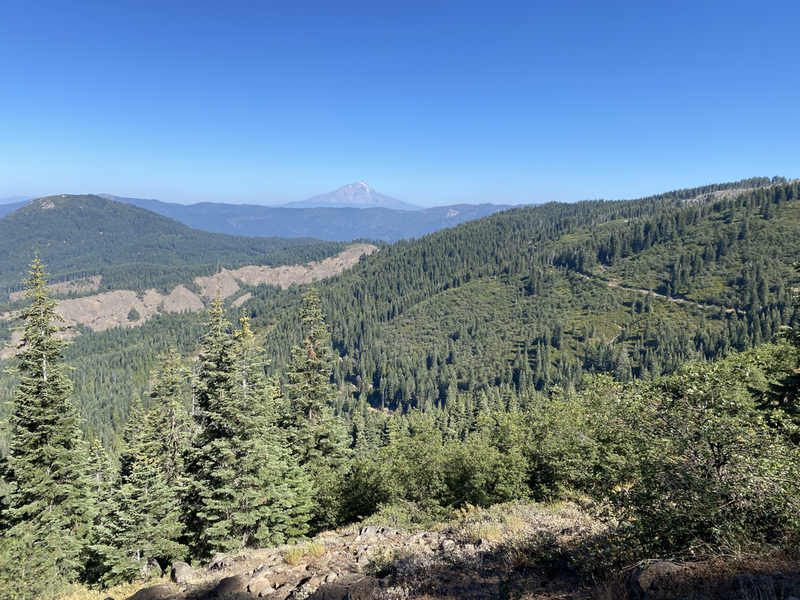
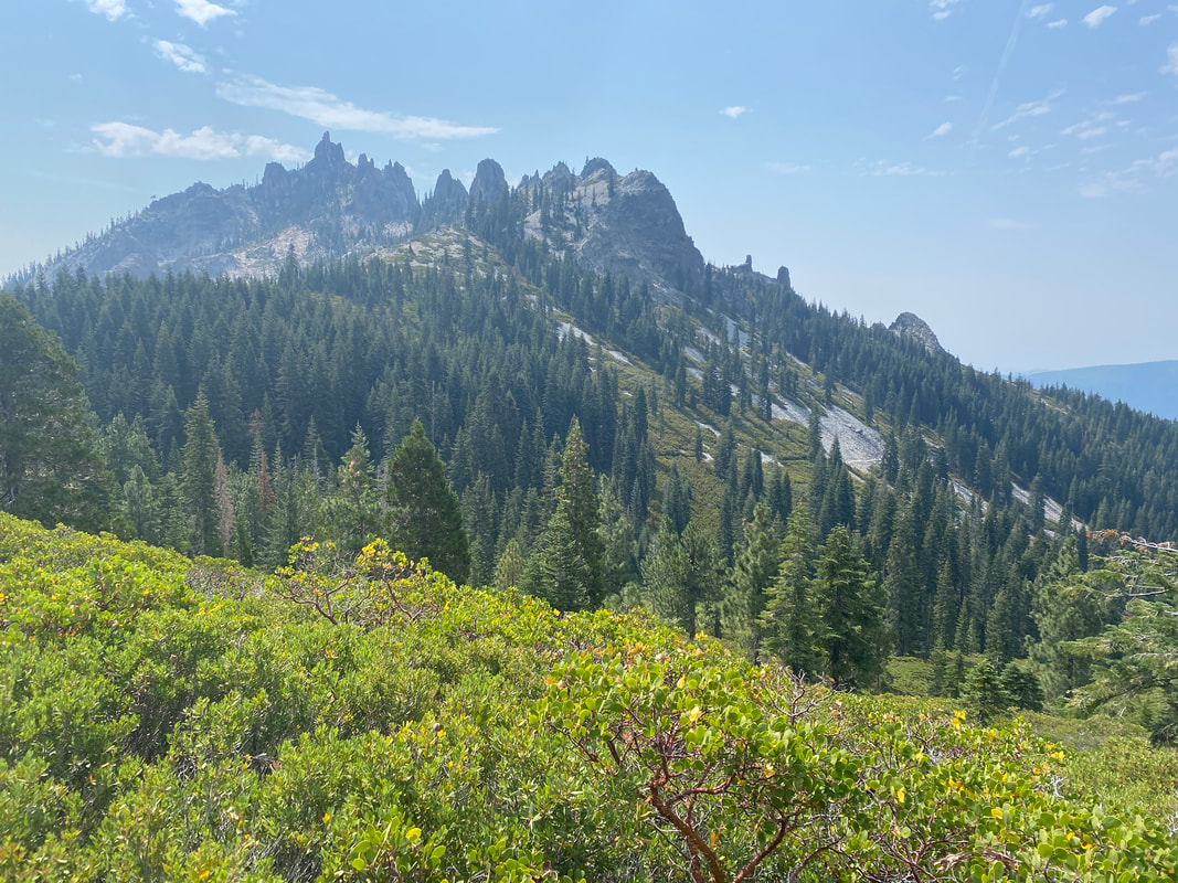
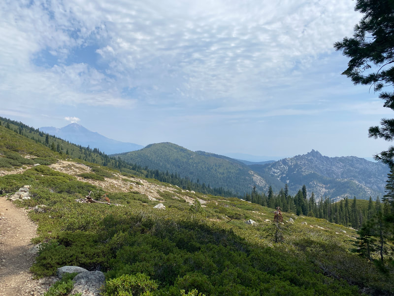
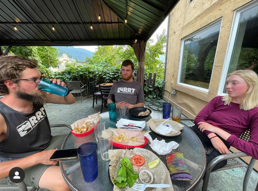
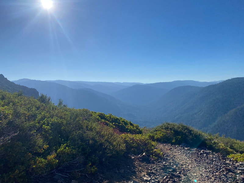
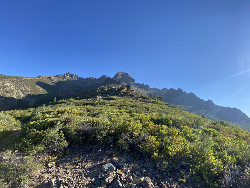
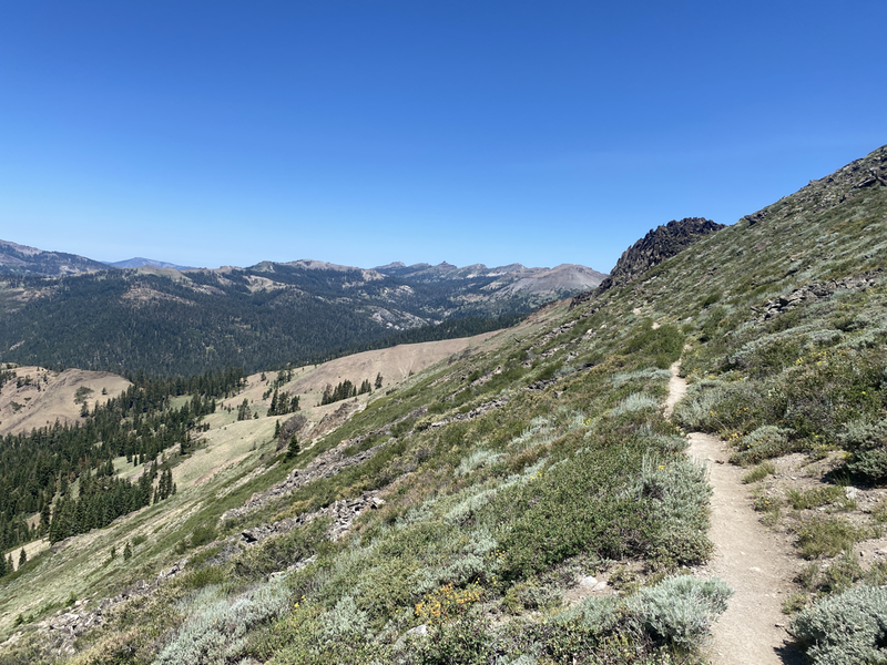
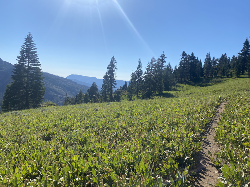
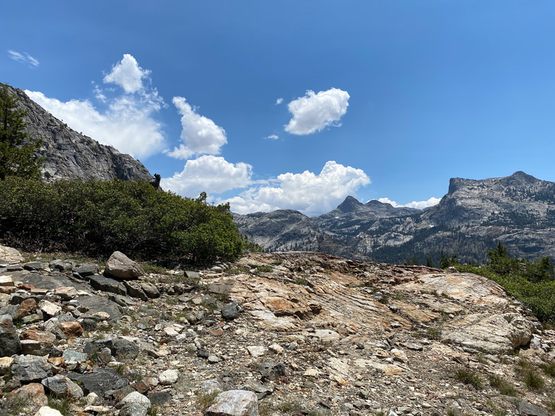
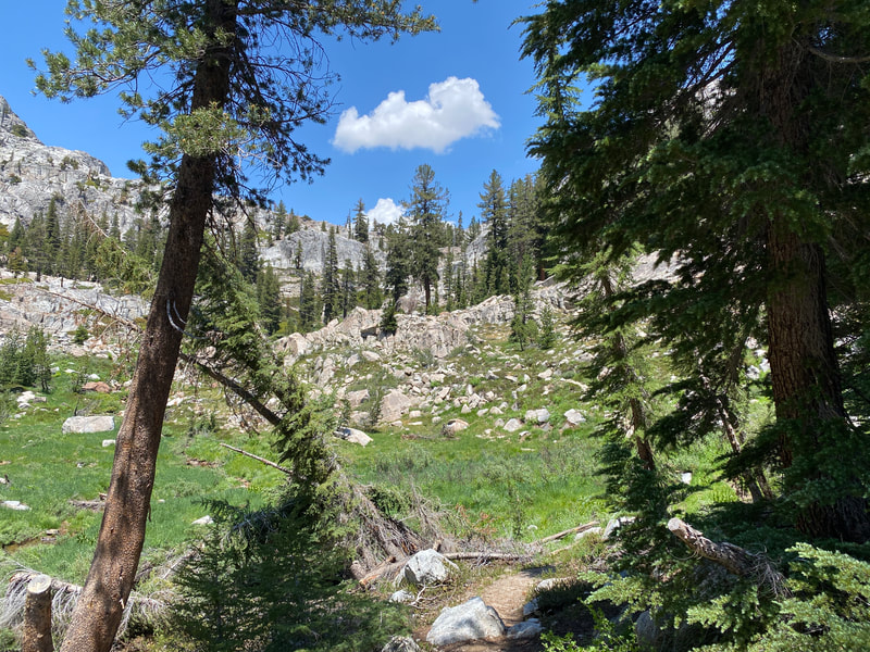
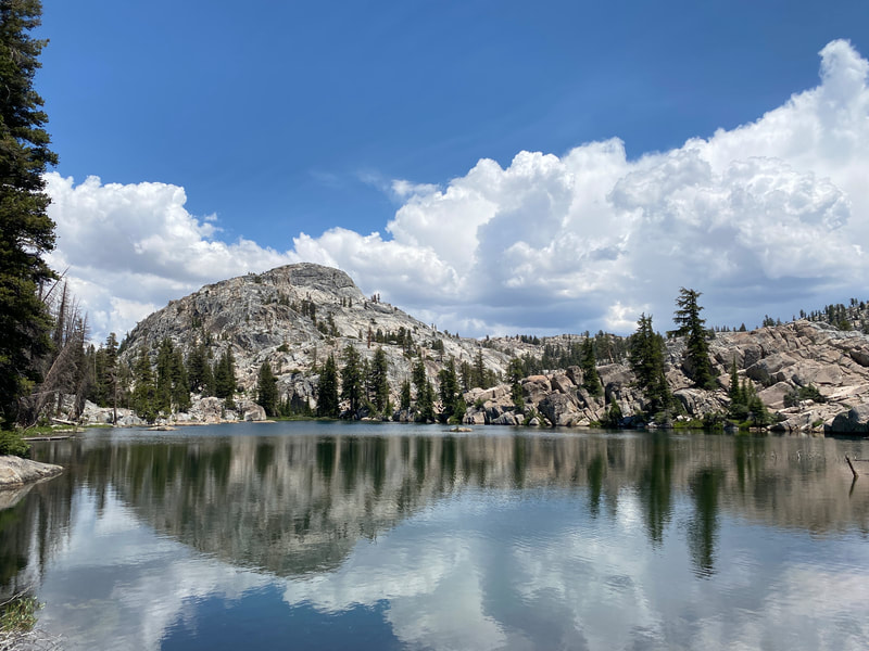
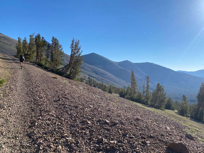
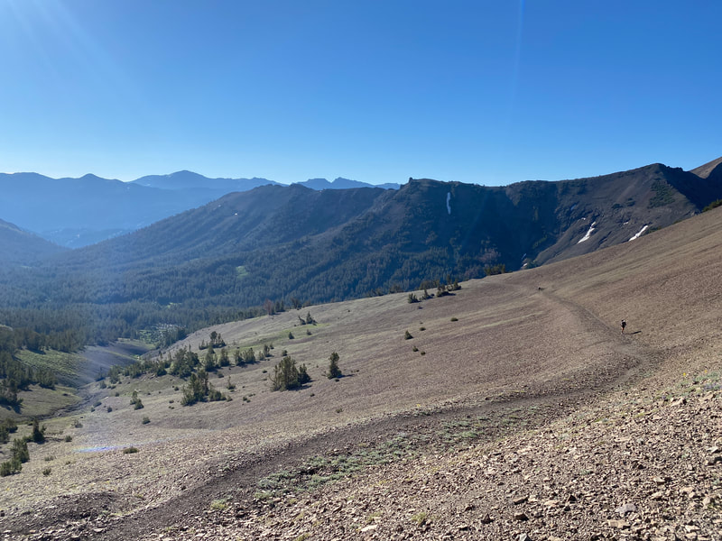
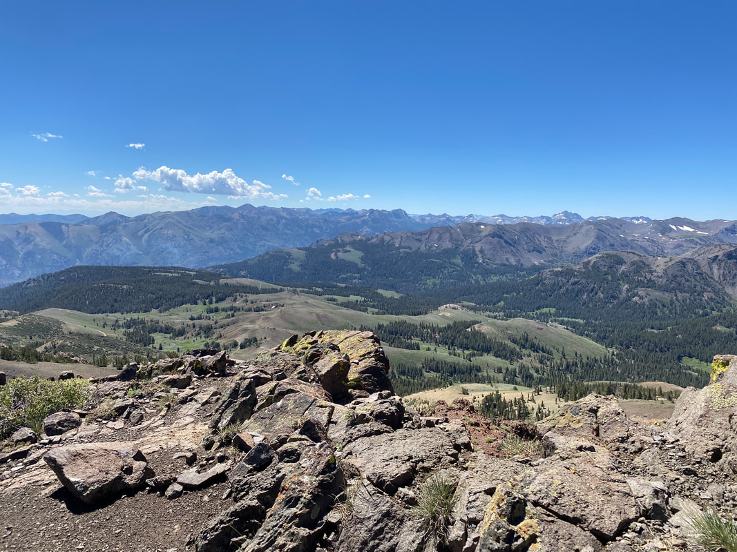
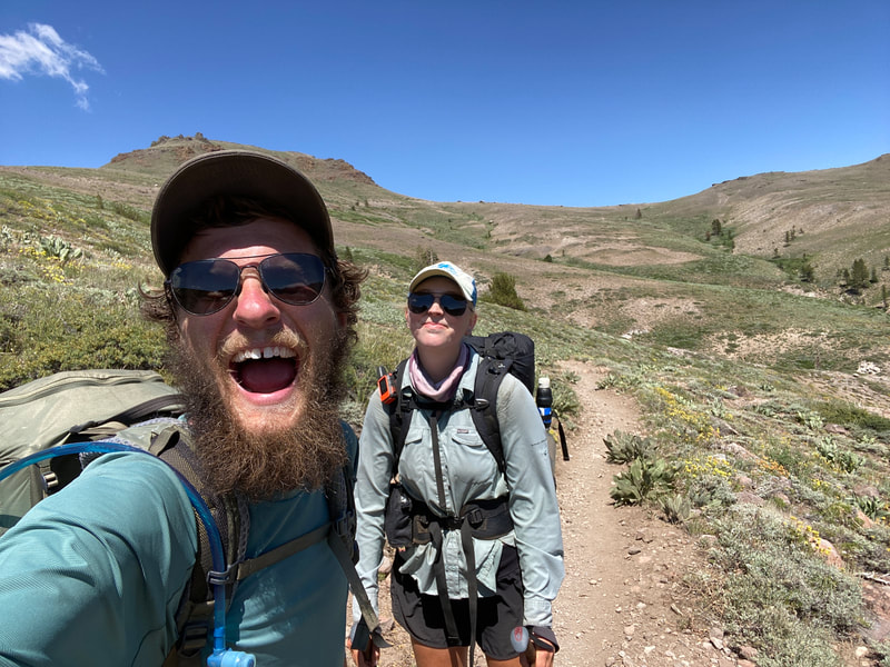
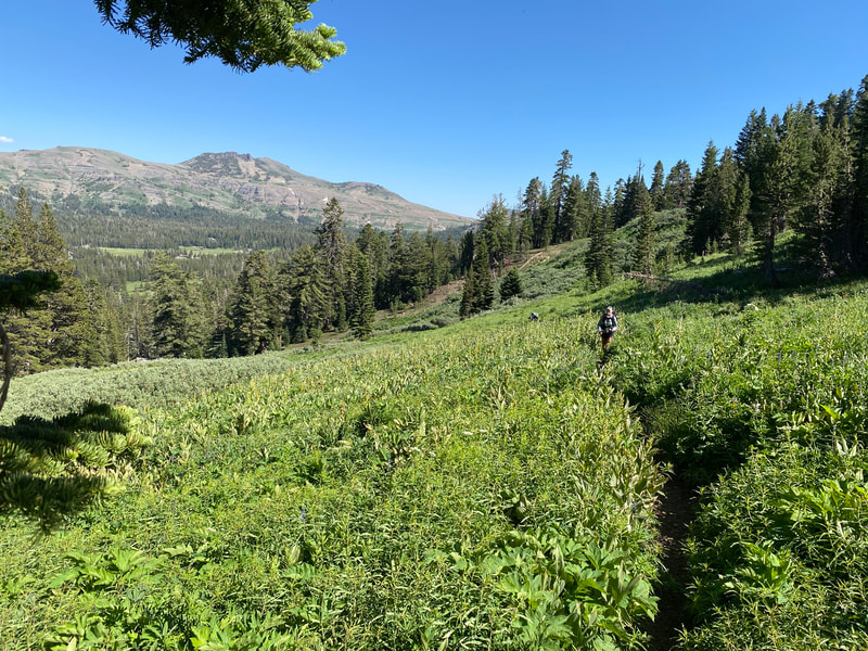
Coming out of Burney it was hot. Temperatures in the lower 90s and full sun. The forest hadn’t yet closed in around us as it would in the northern most parts of California and for much of Oregon and Washington. The summer heat had really caught up but luckily this section had plenty of water. I’d spend three and a half days walking through the Shasta-Trinity National Forest to Castella at the PCT crossing of I-5. It was a time I spent in my head for the most part. I started thinking a lot about what crossing the Oregon boarder in about a week would mean for me. I started to think about what I needed for the push through the Pacific Northwest. I started thinking about what life would be like after this and where I would go home to. As we closed in on Castella and Dunsmuir, Mt. Shasta revealed itself to us day after day and the forest closed in to provide shelter from the sun. Physically, I felt strong but mentally I was tired. The beauty of the trail and the joy of long hard days was still there but the feeling of monotony had set in as well. Twenty-five mile days for weeks on end had become tiring. The smoke from the Dixie Fire blowing around us and clouding out the sun became obnoxious. I needed a break from trail and luckily it was right around the corner. The tiny town of Dunsmuir was a welcome treat. It had all the things hikers need, hot showers, warm food and a grocery store full of goodies. With the Dixie Fire burning down south other hikers were getting pushed north having to skip miles so we started running into old friends we hadn’t seen in months. After a day of rest we were back out of the trail with 6 days ahead of us to Seiad Valley and 8 days to the Oregon Boarder, something I was looking very forward to. The first day out of Dunsmuir was smokey still, there were tons of hikers that had bounced north and the trail climbed back into the mountains. The next few days we pushed further each day to get ahead of the fire bubble. The views were beautiful through the Trinity Alps and Klamath Mountains, it was the beauty I remembered from my last adventures in North NorCal. The mountains were stunning, the views went on for miles and the trail wandered along ridges with plentiful water. There was one day where it got cold and rained, a sign of the fall weather to come. A reminder that getting to Canada was still something that could be put off by snow and other weather up north. It was a nice break from the heat though, something that gave me a want to push north and get to the cooler colder weather. After wandering through the mountains we found our way to Etna Summit and the small town of Etna down below. It was a wonderful little town and I wish it had been more accessible cause I would’ve spent a day or two there enjoying the pool, the brewery and all the town had to offer but the Oregon boarder was calling. Four days later I’d hopefully be looking at the boarder sign leaving California with the hope of touching the Canadian border a few weeks later.
0 Comments
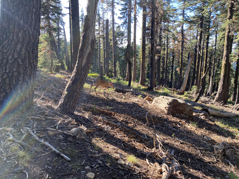
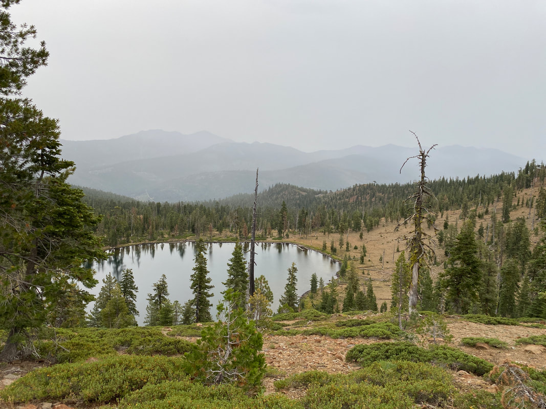
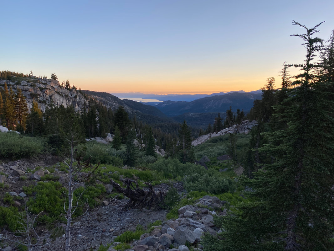
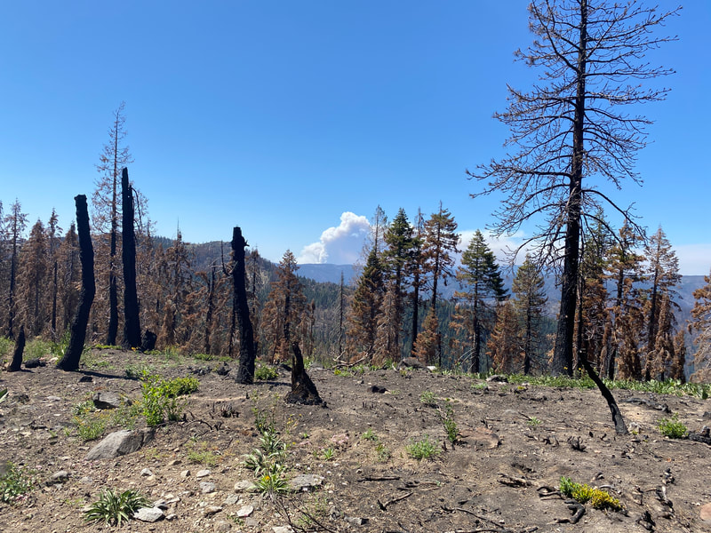
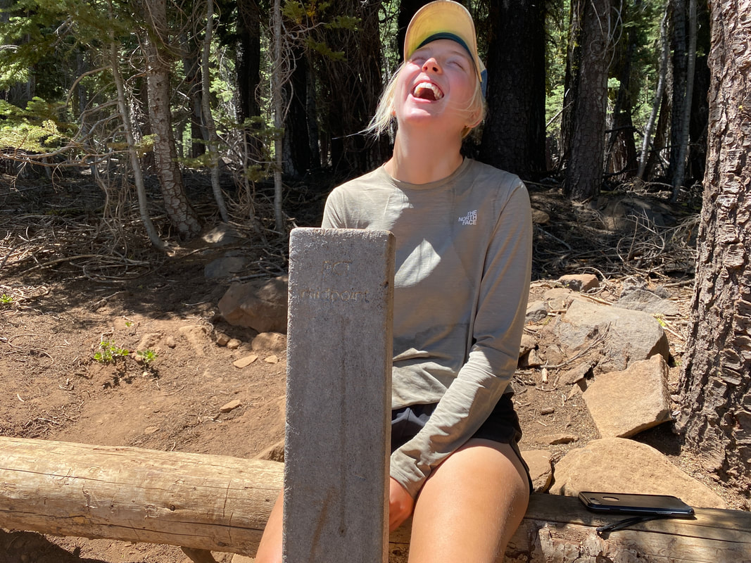
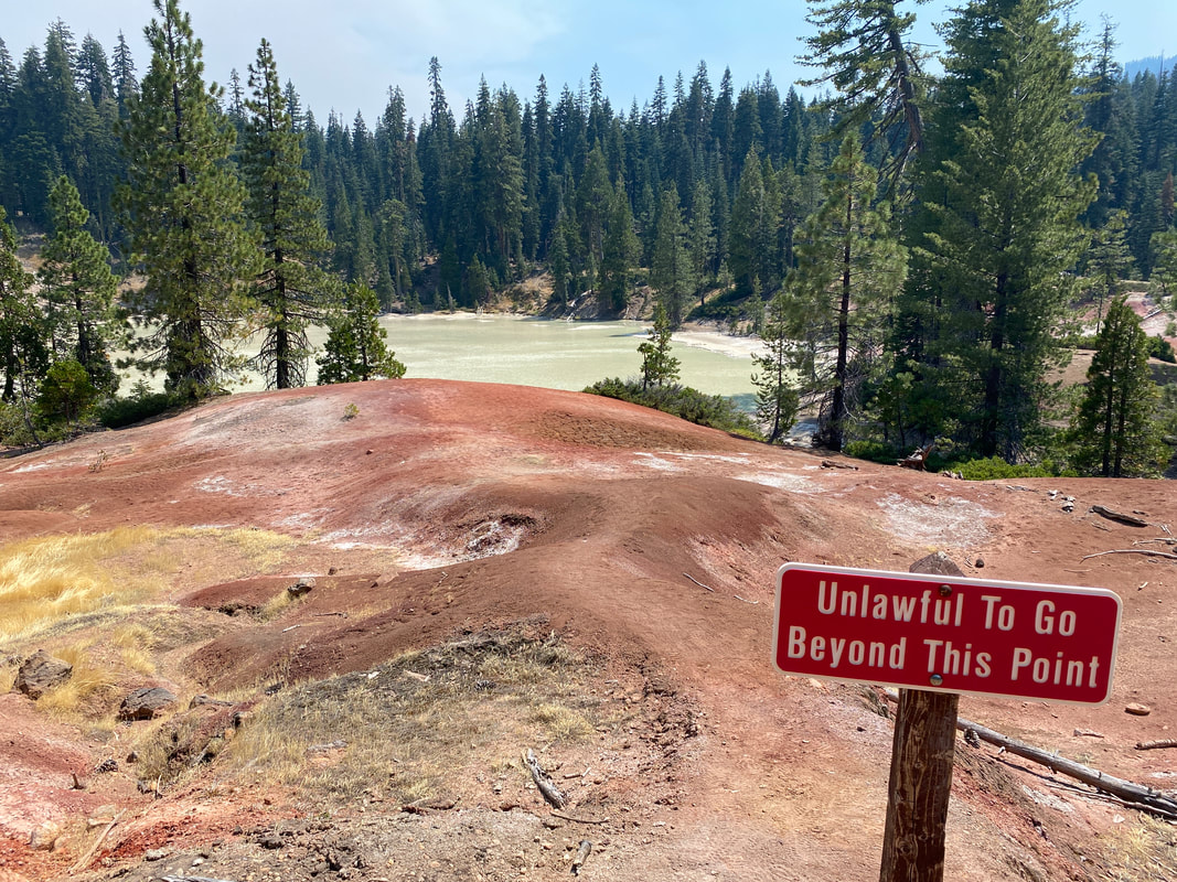
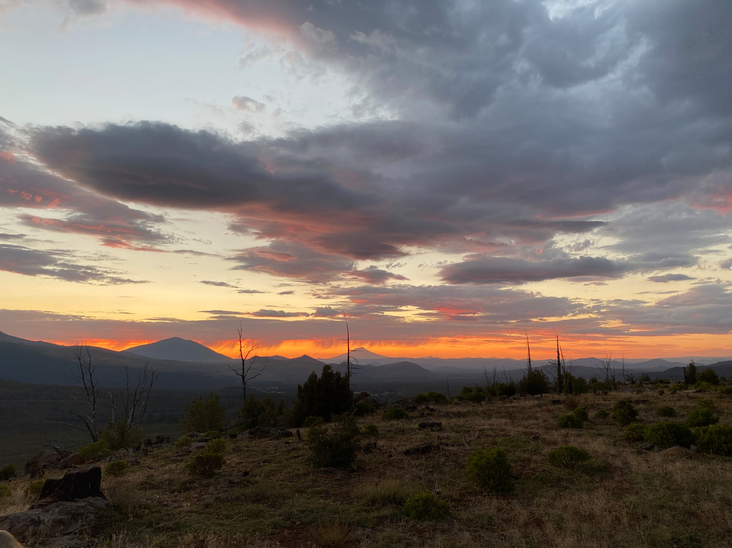
The past week has been a whirlwind, it started at mile 1200 and ended past mile 1400. After getting to Sierra City, enjoying an afternoon in town and trudging on I found myself climbing up the Sierra Buttes the morning of July 14th. My bag was heavy but I was excited to finally be in NorCal and beginning the end of this state. The views for the day were beautiful and we watched the smoke billowing from 3 separate fires in surrounding valleys. We made new friends in the bubble we found in Sierra City that first day and I enjoyed that a lot. In the evening we sat by A-Tree spring and I made pancakes for about 10 happy hikers. The next day we hiked through an area that had burned the previous year. What had probably been a wonderful hike down to the Feather River was black, burnt and dusty as hell. I watched a fire to the north for a large part of the day wondering if it was the Dixie Fire near the trail and spending a good bit of time imagining what it would be like near that fire. I checked my phone for signal just before we dropped off the final ridge of the day and noticed a new notification on the PCTA page. The fire I’d been watching was indeed the Dixie Fire and it had begun moving towards the trail. The PCTA and National Forest Service had decided to close the trail from Bucks Summit all the way to mile 1301. The nearest spot to easily hitch back to trail was mile 1328. It meant we’d have to skip close to 50 miles of trail which was definitely a bummer but luckily it was a good spot for a closure to happen. The town of Quincy was a stones throw away and a bus ran from there to Chester making the logistics of getting north that much easier. By the end of the 3rd day we had gotten to Quincy, filled our bellies and bags with food and found a trail angel in Chester who let us camp in her yard. Everything worked out but this meant we were catapulted ahead of schedule by two days and would probably be getting to Drakesbad before our packages. The plan we hatched was to hope the USPS was feeling speedy and hit the trail from CA-36 south to tag the PCT Midpoint marker (a symbolic moment on our journey north), then the next day we’d head to Drakesbad and hope our packages arrived earlier than expected. It was an exciting moment to hit the midpoint marker, it meant halfway in miles and over halfway in time since we planed to do bigger miles for much of the rest of the walk. Everything worked out great in those two days. The trail was cruisy, everything I was trying to juggle getting done in Cincinnati was being taken care of and our packages arrived early. We entered Lassen National Park almost four days sooner than we’d expected. Time was flying. The mountains were smokey from the Dixie Fire, every once in awhile ash would rain down or it would seem like you were hiking in a dense fog. Sometimes of the day, the sun would seem dimly orange. It was an odd experience hiking in forest fire smoke. We’d spend the next four days in and out of the smoke cloud of the Dixie Fire, a reminder of what was going on behind us. Leaving Drakesbad we wandered our way through Lassen National Park, we saw bears, alpine lakes, ancient cinder cone volcanos and massive burn scars on the landscape. It was nice to check another National Park off the list. By the end of the day we had explored lava tubes, gotten lunch from a deli in Old Station and covered over 30 miles. We’d moved fast and the fun wasn’t over. We ended the day camped out on Hat Creek Rim with a magnificent view of the sunset and Mt. Shasta off in the distance.
After less than a month in the Sierras we found ourselves in Sierra City with the last official mountain of what’s consider the “Sierra” in front of us, the Sierra Buttes. I’d hiked through 3 National Parks, been hailed on, swam in alpine lakes for days on end, got eaten by mosquitoes, fell asleep listening to rain pitter patter on my tent and much more in such a short amount of time as I traversed the Sierra Nevada Range. After this carry we would find ourselves climbing out of Sierra City into NorCal and onto the first mountains of the Cascade and Klamath Ranges. Leaving Tahoe was tough, I was tired and beat from walking 1,100 miles but I knew I had more to go. The section from Echo Lake to Sierra City was beautiful and the perfect kind of terrain I needed. I didn’t take many pictures this time around because I felt as if I was too busy moving through terrain. In the high Sierra I felt like I needed to capture every vista but now I felt as if I needed to move out of and on from these mountains as fast as I could. The Desolation and Granite Chief Wildernesses were a treat, some final alpine beauty. Getting near Truckee we had cell signal on and off everyday and it was a pleasure to reconnect with normal life a bit after being removed in the mountains for a very long time. It was a weird but wonderful section from Tahoe to Sierra City. The ease and enjoyment were hopefully a sign of good things to come in the following weeks. The plan for the rest of July is to get out of California by the end of the month. My best guess is I’ll get over the boarder on August 6th. There’s a lot more to come in NorCal (Lassen National Park, the halfway point, etc.) but I’m excited to leave California in a few weeks. I’m ready for big progression in this journey and I’m confident I can make it the rest of the way.
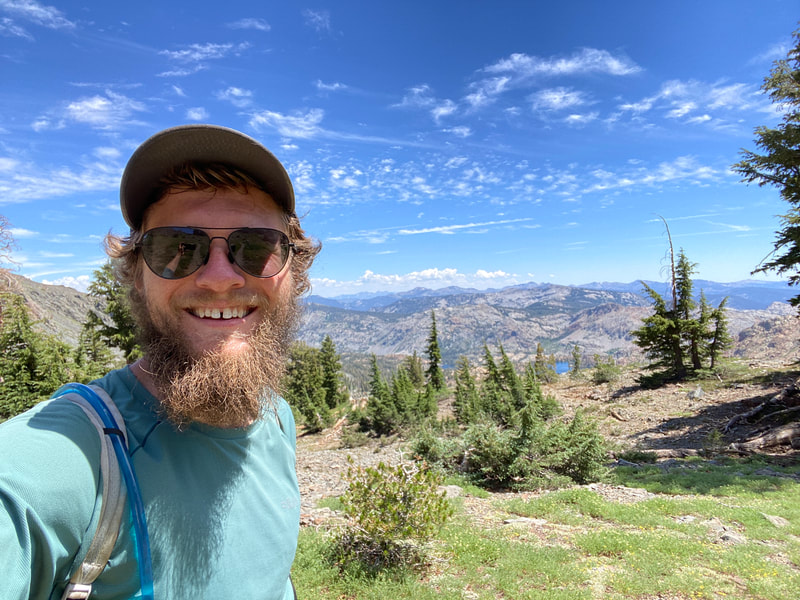
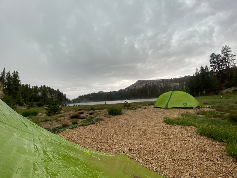
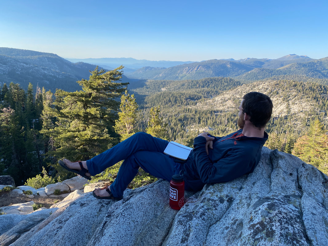
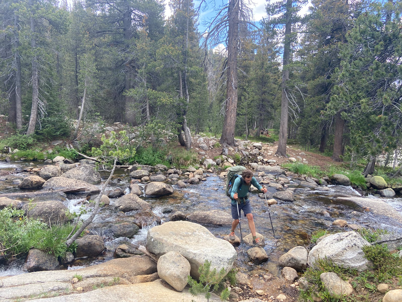
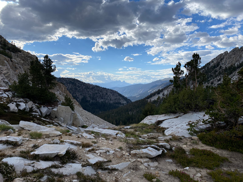
Mentally thru-hiking can have it’s days where it’s harder than anything you do in your regular life. You spend 12 hours a day walking and some days you end up walking alone with your thoughts. Your mind can play tricks on you, it can encourage you and it can tell you to sit down by a lake and enjoy the afternoon breeze even though you still need to cover 15 more miles. The challenge is real and in Northern California, after many of us have now spent over two months on the trail it’s something you have to pay attention to. My goal for the next month is to stay positive, to be a beacon going north for both myself and those around me. There’s tough days ahead but I’m excited for the challenge. The days leaving Tuolumne Meadows were wet and the miles were harder than I expected. It rained the afternoon we arrived, for 5 hours the following day, and for several hours in the following afternoons. The Sierras were giving us one last challenge before we could be let free to move into NorCal. Although the Sierras don’t really end until Sierra City in another 200 miles, in my mind they were coming to an end as we began to exit Yosemite Wilderness and leave the high peaks behind. We enjoyed our last alpine lake for awhile at Dorothy Pass before going over the pass on our third day in the Yosemite Wilderness. As soon as we crossed over, the mountains on the other side immediately changed. The colors went from white granite to pink and red. The ground went from solid stone to soft pine and volcanic scree. It was an abrupt change, the mountains were showing us the continuation of our journey. As we made our way to Sonora Pass I became excited to get rid of things I had been carrying in my bag for weeks, mostly my bear can. When we reached the pass we were greeted with an amazing lunch buffet (Thank you Retro!) and an easy hitch down to Kennedy Meadows North. To my dismay, the wifi didn’t work so no getting any planning or posting done but we did all the usual town errands, laundry, showers, snack resupply, and a good big dinner. On July 4th we left our midway to Tahoe stop for three and a half day traversing several different wilderness areas. There was part of me that didn’t want to leave, I just wanted to enjoy some time off, maybe soak in the holiday, but I knew that was just a few days away in Tahoe. We hit trail with a beautiful day and even more beautiful terrain. It was a treat to get a break from the mosquito hoard of Yosemite and the miles felt like they rolled right by. When I got cell signal towards the first big climb of the day, I started getting messages from trail friends showing what they were up to and asking where I was. I found out that most of the people I had spent time with in the desert and thought I’d be seeing in the High Sierras were almost a hundred miles behind me back in Mammoth Lakes for the 4th of July. It was a weird feeling thinking I might not see them on trail again with that big of a gap between us and only growing larger as we increased our miles heading towards Tahoe. As we neared Tahoe the mountains became volcanic and the terrain “flattened” out. The big climbs became rolling hills. The granite mountains became canyons and sheer cliffs that had eroded into the jagged faces they were. We hit a highway every other day which was a treat for dumping trash and getting trail magic from day hikers.
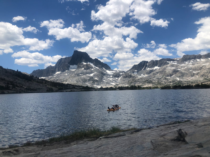
On the final day climbing out of Carson Pass I saw Lake Tahoe off in the distance. A blue disk that almost looked like a grassy valley in the mountains through the haze of the day. The thing I had been looking forward to for a very long time was finally here. Getting to Tahoe marked a moment of celebration for me. It was something I had been looking forward to for a very, very long time. I hoped the next days would bring me some relaxation and some refocusing for the last month in California. Coming out of Vermillion Valley Resort, my mind was in a different place. My goal has changed from just trying to keep moving with the hike to trying to enjoy it for every moment oI have. I know there are hot, thirsty and hungry days ahead but I also know that the desert and the High Sierra are two things that all PCT hikers talk about having had a part in strengthening them. We left VVR to head to Reds Meadow and a much needed day in town. The miles were relatively easy, the terrain was finally turning into that Northern California sand and pine and the mountains were getting progressively more steep with sheer faces as we worked our way towards Reds Meadow and Yosemite. Our stop in Reds Meadow and Mammoth Lakes was met with many good surprises. We found Leslie and Charlie, two trail angels from SoCal, hanging out for the weekend, met back up with many thru-hiking friends we hadn’t seen in weeks or even months and ran into Legend (again), an angel you can’t hike the PCT without meeting. The day in Mammoth was filled with drinks, pizza, new gear (my stove broke and my shirt has been getting progressively more permanently smelly) and a nice moment to relax from the hike north. I’ve gone back and forth about the power of trail towns on this journey. At one point I had said I would want to be in the mountains as much as possible uninterrupted. At other points I’ve found a few places I loved so much they almost made me want to quit and stay forever. Going into town on the PCT is a mental and physical necessity I’ve decided. One needs a break from the monotony and the sometimes struggle of the trail to keep themselves moving onward. After leaving Reds we slowed our pace and spent the next two days lounging by an alpine lake and then enjoying some of Will’s friends who had been hanging around and working in Yosemite National Park. Finally having the time to slow down and not worry about food, water, pace or anything else was rejuvenating for a few days. Taking an afternoon nap, floating in a lake and eating as much food as I could felt like a little vacation, almost like this was just a week long trip coming to an end. Coming out of Tolumne Meadows heading north to Lake Tahoe, we’ll be picking up the pace ever so slightly. Once we reach Tahoe, the July heat will be kicking in, the summer will be upon us and it’ll be a race to get out of NorCal before any fires get in our path. The hope is to be entering Oregon by the first week of August, then we’ll be just a few weeks away from the end. Having walked 900+ miles, I feel as if the end should be so much closer but luckily there’s still much more to come.
|
THE PCTThe PCT stands for the Pacific Crest Trail, a 2,653 route extending from Mexico to Canada along the west coast of the United States. Every year several thousands attempt it and only a few hundred finish. Archives
January 2022
|

 RSS Feed