• Home
  • All Blog Posts
  • The PCT
  • About
  • Trip Itineraries
  • Contact
Hopeless Wanderer
  • Home
  • All Blog Posts
  • The PCT
  • About
  • Trip Itineraries
  • Contact

Stories From the Trail

Photos from the trail

Part 3 - The Hike to Cajon Pass

5/29/2021

0 Comments

 
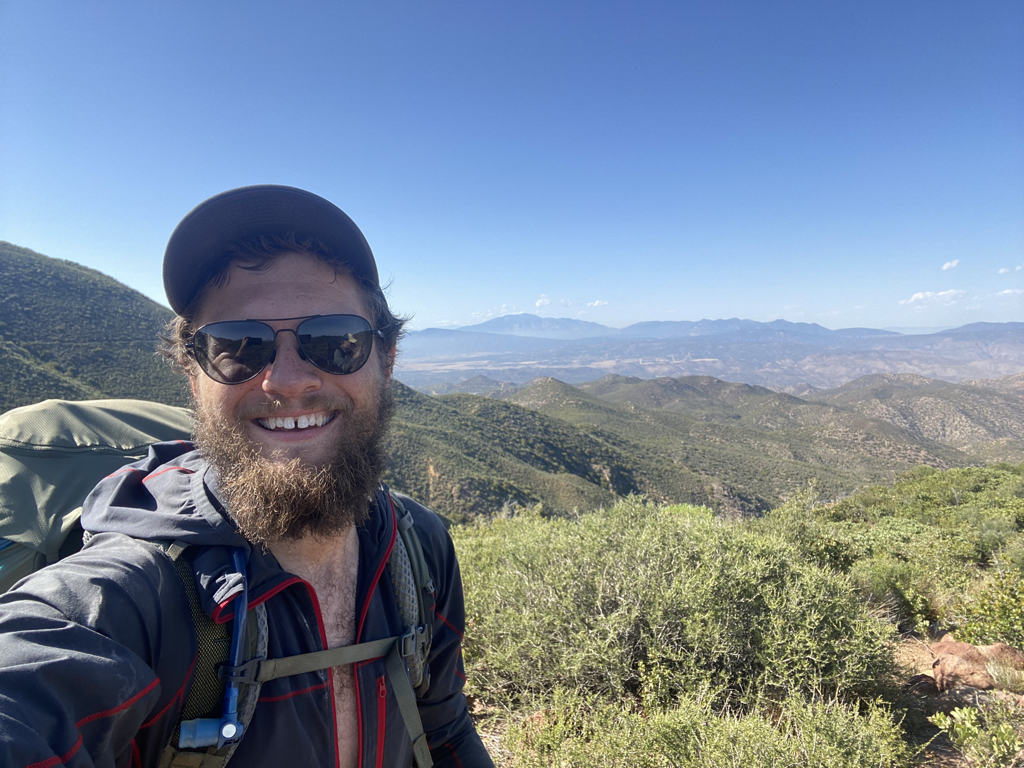
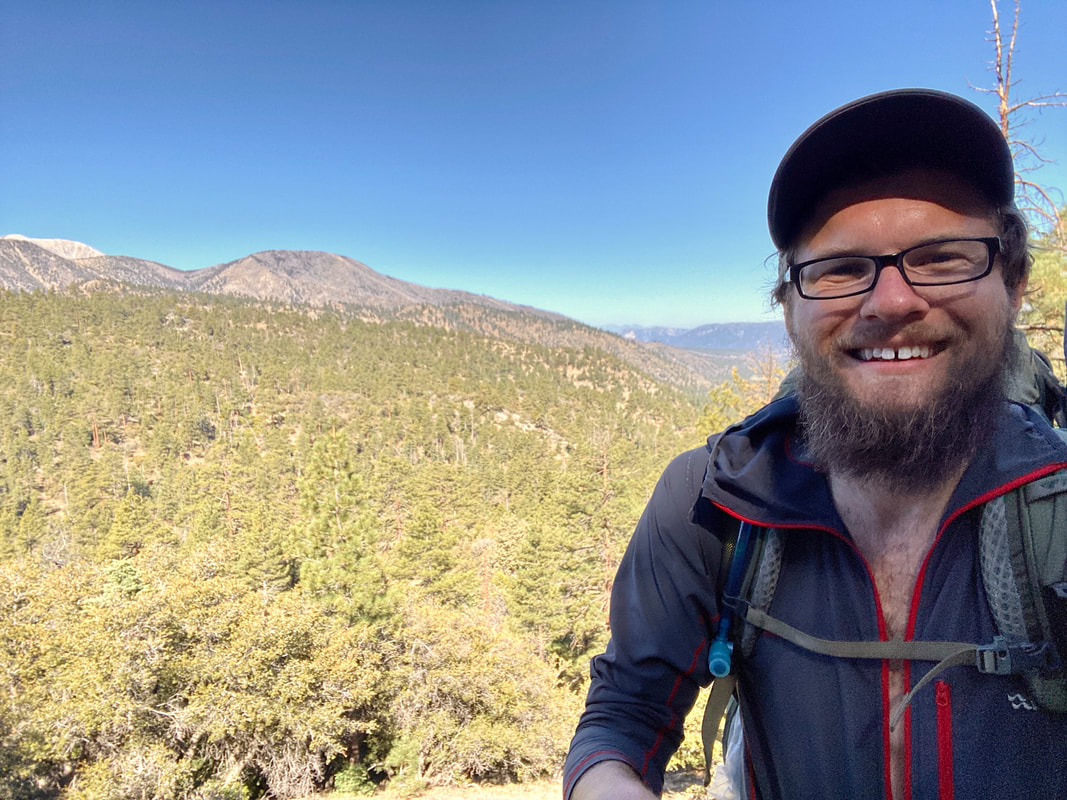
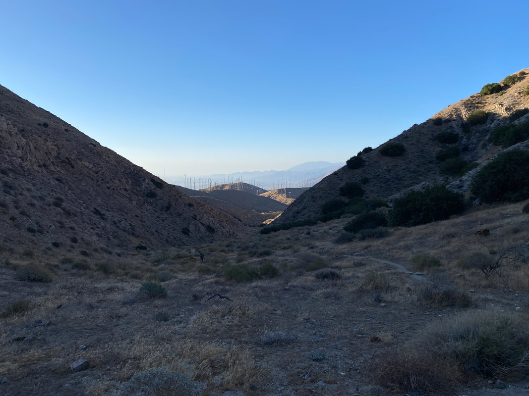
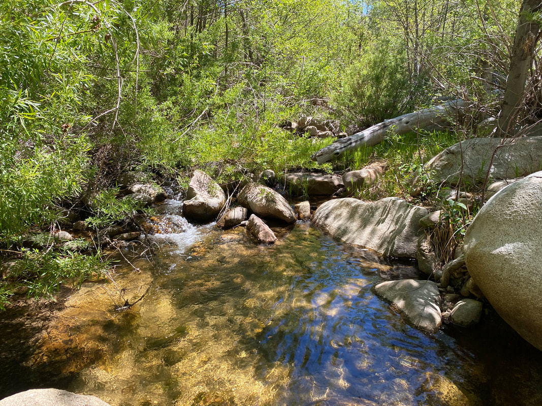
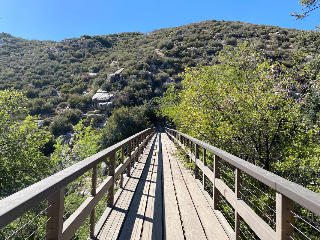
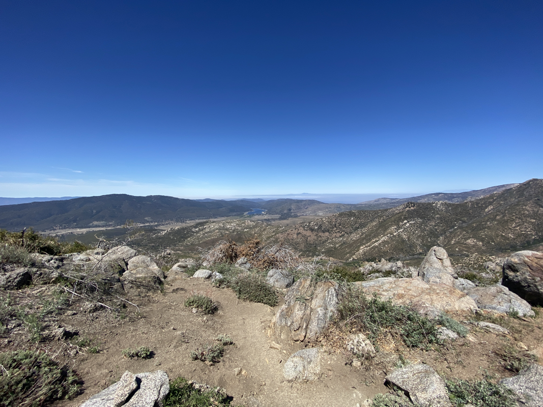
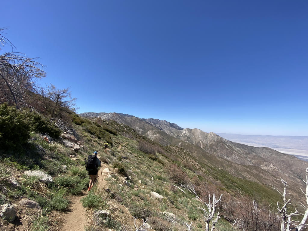
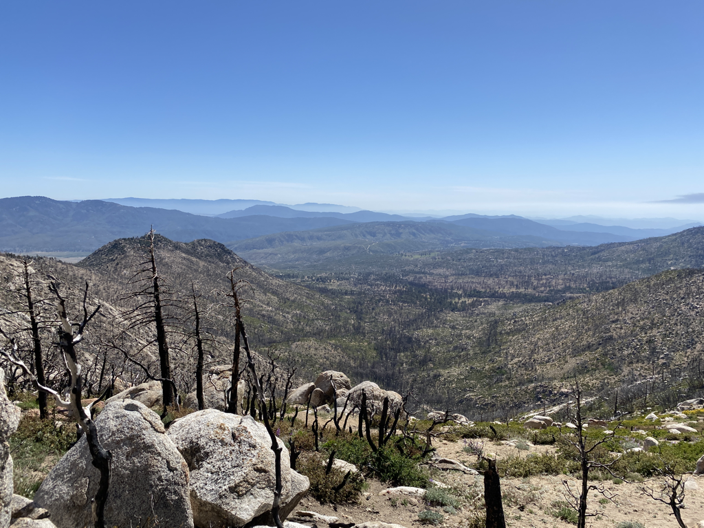
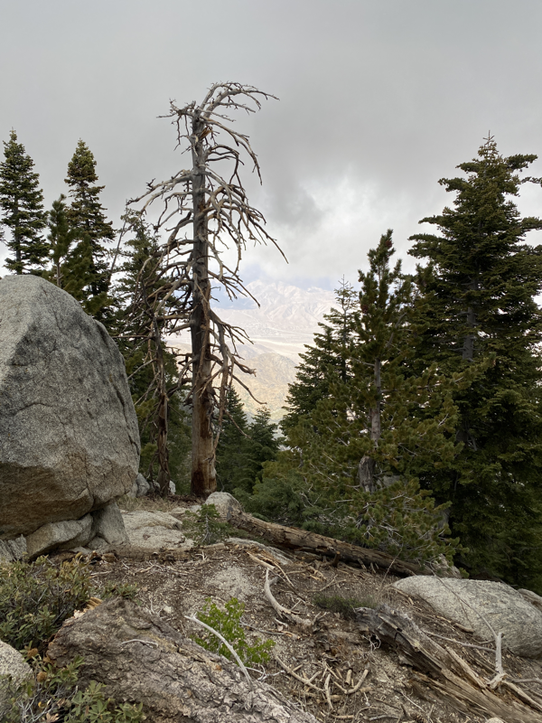
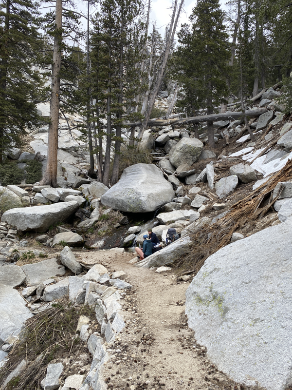
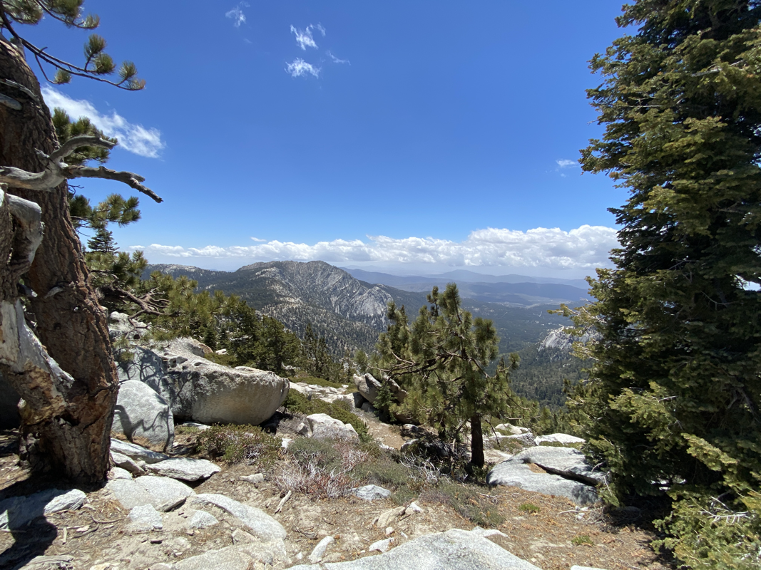
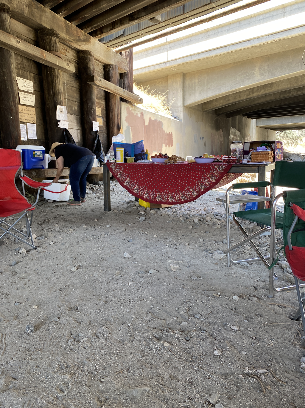
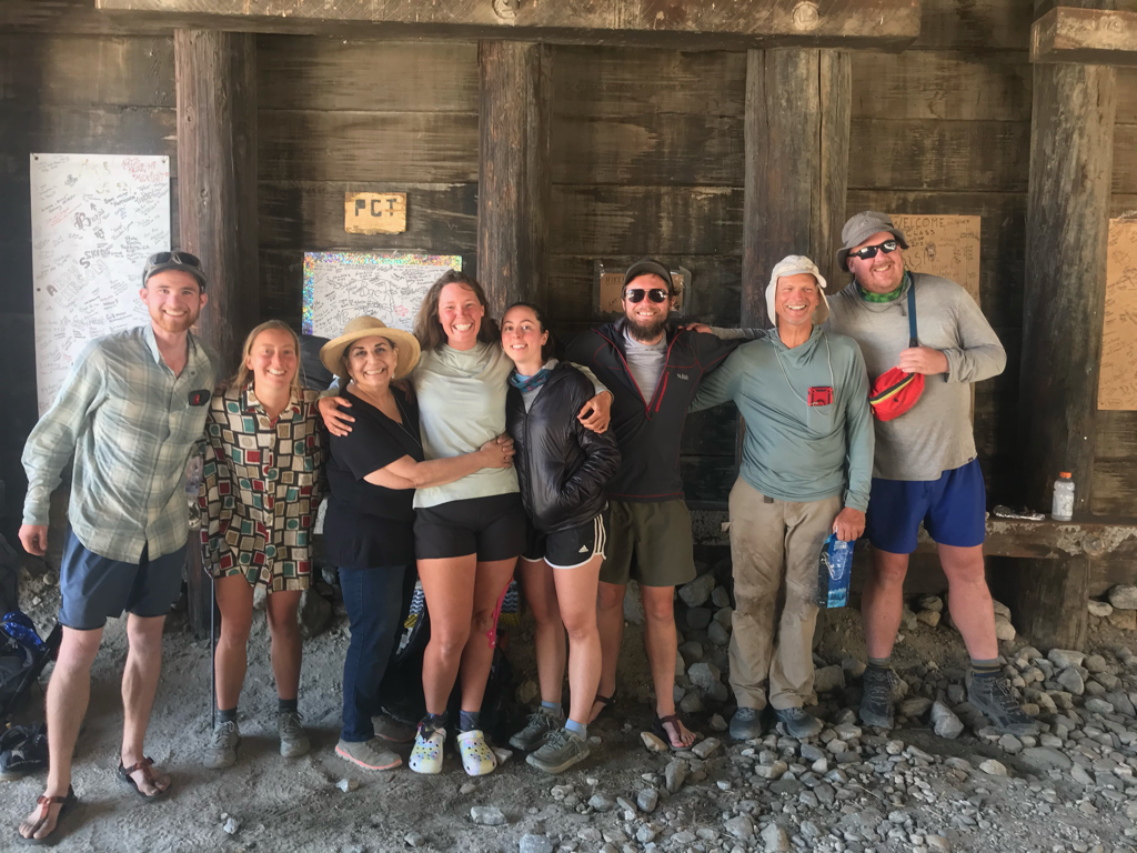
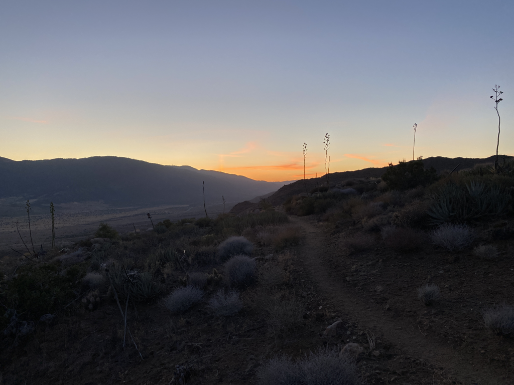
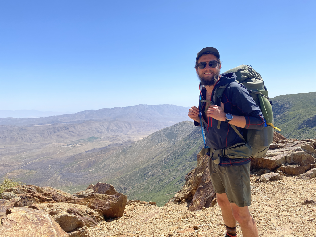
Crossing under I-10 was a big deal, it signified 200 miles walked and it was a gateway to another section of trail with more excitement ahead. The next several days would be a combo of desert creek walking and traversing high pine forest ridges at 8,000’ in elevation. The next gateway was I-15 in a little over a week’s time. It would signify the start of one of the hardest sections of trail in my mind, the Mojave. That, luckily, is still a week away.

Saturday May 22nd, we crossed under I-10 and hiked up into the Mesa Wind Farm. There was an unexpected water cache there in a sun/wind shelter and it made a wonderful place to cowboy camp for the night. We spent the evening enjoying the WiFi from their trailer and huddled up hiding from the wind. The next day would be a fun but hard day.
We awoke and hit trail by 6AM, there was a decent climb right out of camp but before I knew it I was above the wind farm and on my way into the Whitewater Preserve. We were treated with our first big river of the journey and some great final views of San Jacinto, where we had come from. Eventually the trail made its way down to Mission Creek and the next 12 miles of trail would work its way up the creek from 3,000’ in elevation to the spring at the top near 8,000’.

On the morning of the 24th we finally finished the ascent to Mission Spring at just over 8,000’ of elevation. The desert scrub had changed to pine forest, its was a beautiful treat and I was happy to be back in the good mountains. We would spend the rest of the day collecting friends who were in front of and behind us.
Picture
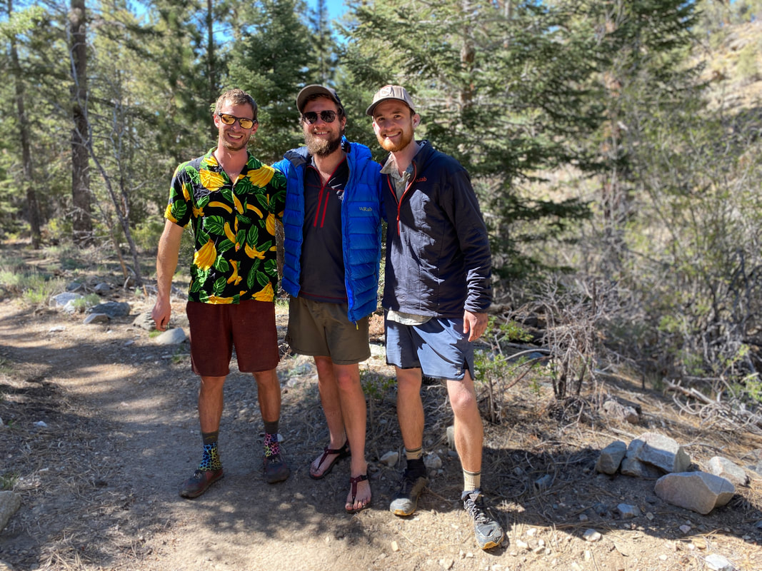
We found Naners again, re-hiking a section with a friend of his and we had a really solid group to camp with that night. The next day we would find ourselves wandering into Big Bear for packages, pizza and resupply. Our friends Ariel and Romeo offered us an awesome place to stay so we enjoyed a pool, showers and terrific company.
​
On the 26th we found our way back out to the trail. It was an easy 9 miles to camp and it was a weird feeling going back out. It seemed that our bubble had popped in Big Bear. We were leaving friends behind to zero and other friends had already moved ahead and even more so, others were getting off the trail to head north and skip the Mojave. It was a weird evening thinking about the coming weeks but I was excited to enjoy the mountains before we hit the bad desert heat.

The next morning it was cold but we had a long 26 mile day ahead of us to pass mile 300. It was rolling hills and pine forest for the first half of the day as we finally hit water and the hills began to turn to desert scrub. I could see Mt. Baden-Powell in the distance challenging me to come climb it’s slopes, we’d be there in 3 short days after hitting Cajon Pass, it would be a tough climb but for now I’d enjoy a night in the hills with the sound of Deep Creek running in the canyon below.
The following day we hit the Deep Creek Hot Spring by 9AM and enjoyed a quick soak of the sore muscles. By 11AM we had hit the Mojave River Dam and by noon we were 18 miles into the day enjoying a nice siesta under a tree. We met new friends and ran into our first hiker bailing out from the trail. By 5PM we had covered 26 miles and were hanging out by Silverwood Lake. It was a good day and a nice feeling to be just 15 miles from I-15 at a beautiful spot by water.
Picture
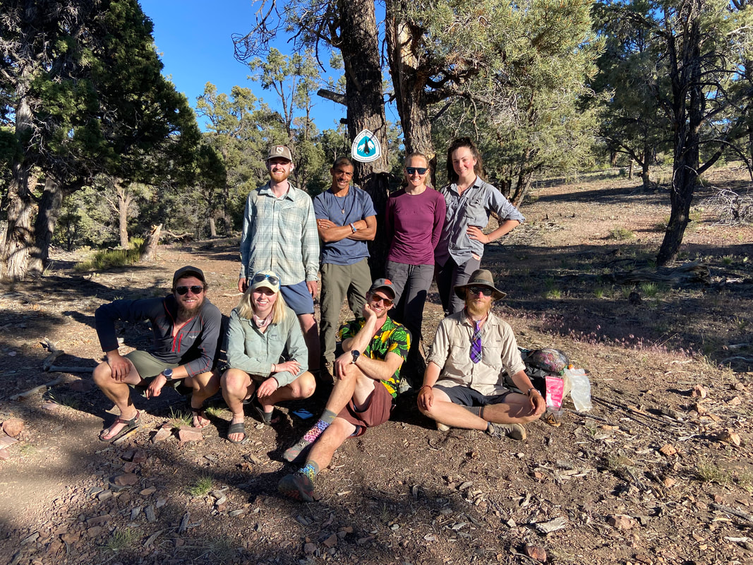
I’d wake up early the next day, watch a beautiful sunrise and walk those few miles to the next landmark of my journey north. I’d enjoy McDonald’s, Subway and a bed at the Cajon Pass Inn all while knowing the climb out of Cajon Pass to the summit of Mt. Baden-Powell was ahead of me. All while knowing it would probably be in the top 5, if not the number one, hardest days of the entire PCT for me.
0 Comments

Part 2 - First Taste of the Good Stuff

5/24/2021

0 Comments

 
Picture
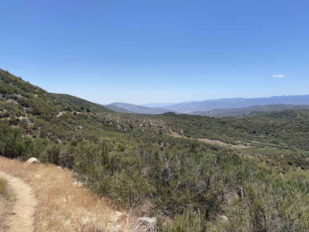
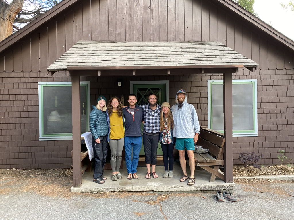
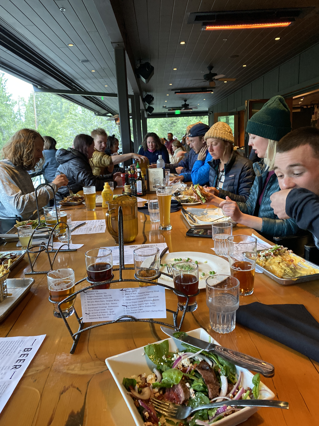
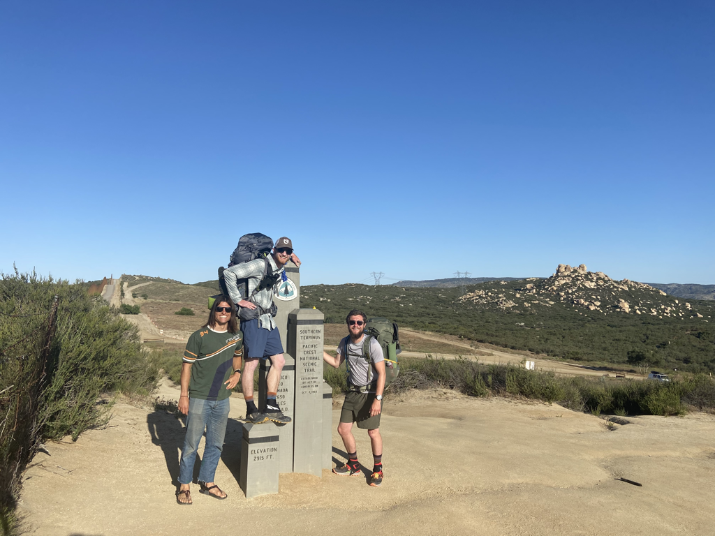
Getting out of that first stretch of desert was tough. The section of trail from Campo to Warner Springs while not technically challenging is difficult in so many ways mentally and physically. There wasn’t a day that went by that first week that I didn’t think about quitting.

Getting to Julian and Warner Springs kept me going, the people kept me going, you all reading this kept me going (I owe you a story!). The main thing that kept me going though was knowing my desert struggles would turn into mountain vistas and paradise soon enough with the section from Warner Springs to I-10. We would go by Idyllwild, a town I had dreamt about for years and we would have our first days in real mountains (not just the garbage desert ones).

We left Warner Springs Monday, May 17th after receiving our resupply boxes full of goodies for the next leg. It was a beautiful hike up winding streams back into the mountainous desert of northern Anza-Borego State Park. Sheriff and Cave Man had decided to join Will and I leaving Warner Springs and see how far it worked for. Over the next 2 days, we crushed some 23 mile days and caught up with our old “bubble” at the Paradise Cafe in Anza for a great lunch. It was good to see the crew and it was good to be around so many friends. Everyone shared stories of the past two days and talked about plans to get to Idyllwild. It was a 26 mile journey with nearly 8,000’ of elevation change between the two.

Bubble:
​The group of hikers you tend to spend your time around on breaks and in camp.


As the cafe closed we found our way back to the trailhead to hike a few more miles for the day. On one side of the highway, south of us, was Anza-Borego State Park, on the other, to the north, was San Bernardino National Forest. I was stoked to be heading up into non-desert mountains. It had taken us 6 days to traverse the length of Anza-Borego and I can safely say it’s somewhere I will probably never return to unless I’m in a car.

We awoke early on the 19th after cowboy camping for the first time. We knew the day was going to be a big uphill slog, but I was excited to be heading up into the alpine for the first time on this trip. We worked our way upward and all the while I could see the pines getting closer as we neared 6,500’ in elevation. The trail crossed through burn zones and the wind was whipping up the western slopes. It was a slow and steady day uphill and the views kept getting better and better. As we neared Idyllwild we found a spot to camp down in the pines sheltered from the wind. The next day would be a “Nero” into Idyllwild and enjoy a much deserved break from hiking.

Nero:
Near Zero, a low mileage day hiking (usually 9 or less miles)


Picture
Picture
Idyllwild was a beautiful mountain town with a great PCT support community. People were excited to talk to us, invite us in and give us rides. I drank a lot, ate a lot and had a lot of fun. In the evening we got dinner at the brewery and then enjoyed a little party one of the trail angels who had been following us was throwing. It was a nice break from the monotony of hiking and a welcome moment to absorb what all we had done so far.
Picture
Picture
Friday morning we left town and headed back up into the mountains with heavy bags full of supplies for the 5 day trip to Big Bear. We covered 11 miles to Fuller Ridge, over beautiful mountain terrain, getting water from our first pristine mountain spring and enjoying some awesome views before the clouds and cold began to envelop us at 8,000’. It would be a cold breezy night.
On Saturday we awoke early to a bitterly cold morning, it was the type where it was hard to get yourself out of bed. Eventually, after a mental war with myself, I got food, packed up and got to walking. The day would be an easy, but grueling one, 19 miles down 5,000’ in elevation to I-10. I never thought I would say this, but I don’t want to go downhill for a few days after that. The thumping, constant dropping and never ending slog were rough on the knees and the head. I put my head down and trudged through. Luckily, I found all the good things at the bottom, water, two trail angles with snacks and my buddy Alex who had taken his Saturday to come out for a visit. It was a good day and set the tone for more days ahead. We had come 200 miles in 12 days on foot, we were crushing our expectations and we were having a hell of a time doing it.
Picture
I-10 Buffet Compliments of Mama Bear
Picture
0 Comments

Part 1 - Campo To Warner Springs

5/16/2021

3 Comments

 
Picture
I’ve spent the past two weeks driving cross country and then walking the first 110 miles on the PCT. I’m working my way towards the beginning of the end. Once I hopefully finish the PCT I’ll have completed this monumental years long goal I’ve had and I don’t know what’s next but I have all summer to figure that out.

Getting ready to leave for this trip has probably been among the toughest things I’ve mentally done with my life. There’s been a lot of doubt in my mind, a ton of anticipation and a lot of sadness saying goodbye to friends and family. The closer I got to the trail on the drive out the more that faded away and turned to excitement.
Picture
There’s a fear that’s gripped me before the trail. A fear of leaving a task unfinished. I’ve gotten it set in my mind that on this journey there is no room for failure, there is no excuse for not going boarder to broader. I had to accept that failure is always a possibility so I can go forward and enjoy this amazing journey. I also know I’ll crawl my way to Canada before to get knocked off trail...

The section I just completed is a mix of desert scrubland, canyon oasis’s, and dry pine forest. It’s a hot, dry, difficult section (mostly cause I just started). We completed it in 6 days averaging 20 miles a day. It was beautiful, challenging and a great start to the journey.
Picture
I’ve met dozens of awesome new people. Out of everyone, I think Naners and Cave Man are my favorites, they’ve got great attitudes and are fun to be around. Unfortunately Naners’ goal is to be close to the Washington state line about two weeks ahead of us so we probably won’t get to hang around each other long. You never know though, the trail has a funny way of bringing people together.

This first week on trail has been difficult, not gonna lie. The desert heat kicked my ass, the pace kicked my ass, the weight kicked my ass. What I knew going into this was that all that was somewhat inevitable. When you’re doing a thru-hike you’re trying to get your “trail legs” in the first few weeks. You have to go through aches and pains, you get blisters, you figure out the stuff in your pack you thought you want but really don’t. All these adjustments are you trying to get ready for the greater adventure ahead and you have to take it day by day. This happens to everyone on every backpacking trip, most people just go home after a few days or a week or two so their body dosen’t physically change. When you’re thru-hiking, it’s a whole process.

A month ago I thought the trail would fly by, but now that I’m in it, I realize it’s going to be a long, exciting ride and I better get walking.
Picture
3 Comments

    THE PCT

    The PCT stands for the Pacific Crest Trail, a 2,653 route extending from Mexico to Canada along the west coast of the United States.  Every year several thousands attempt it and only a few hundred finish.

    Archives

    January 2022
    September 2021
    August 2021
    July 2021
    June 2021
    May 2021
    November 2019

    RSS Feed

Powered by Create your own unique website with customizable templates.
  • Home
  • All Blog Posts
  • The PCT
  • About
  • Trip Itineraries
  • Contact