|
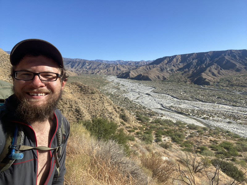
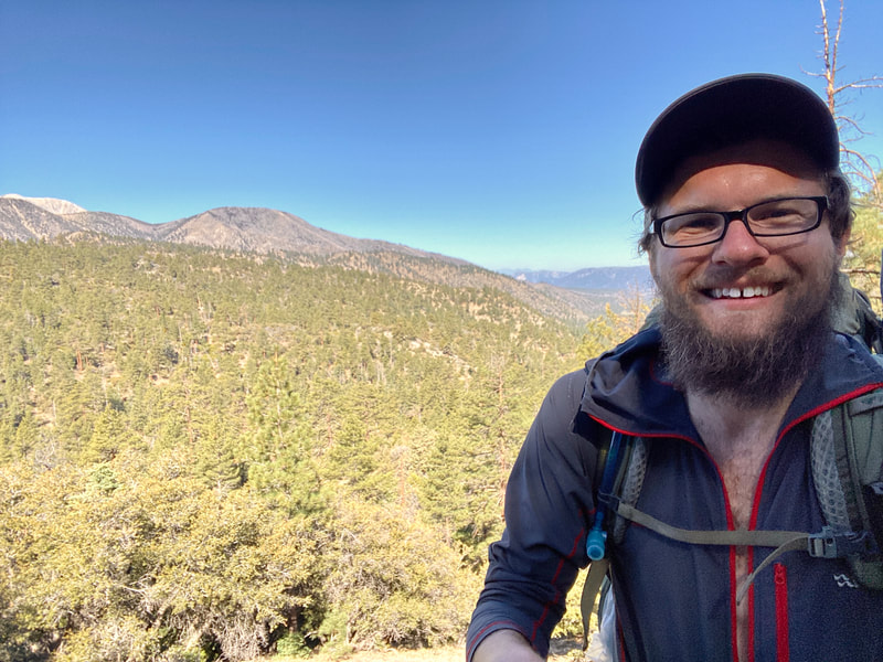
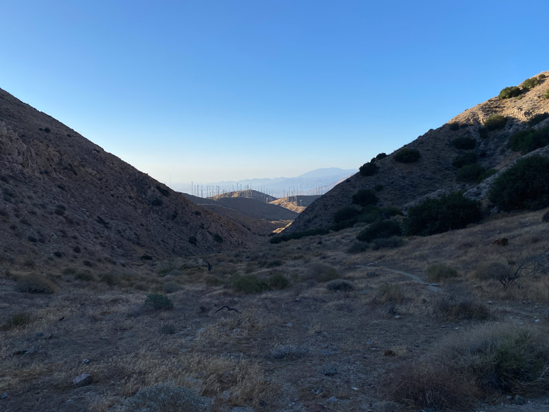
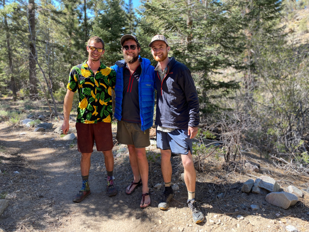
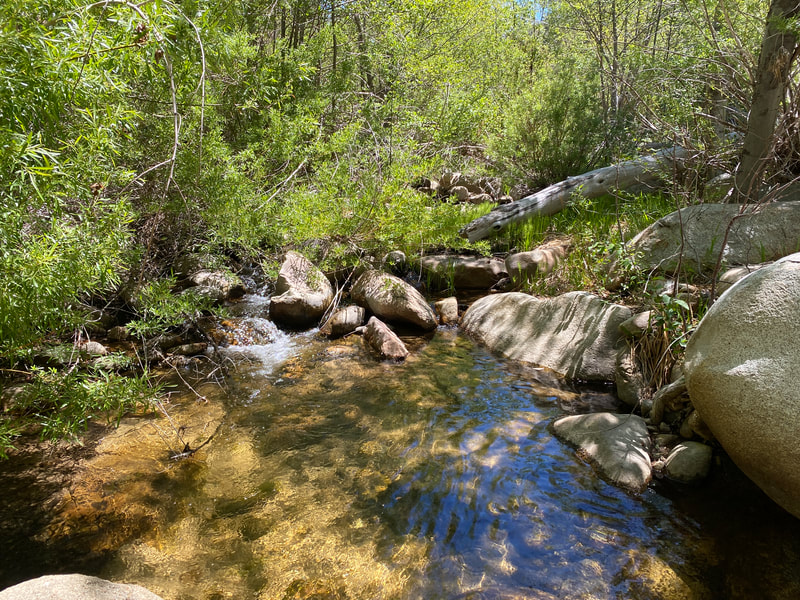
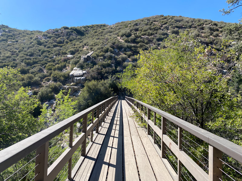
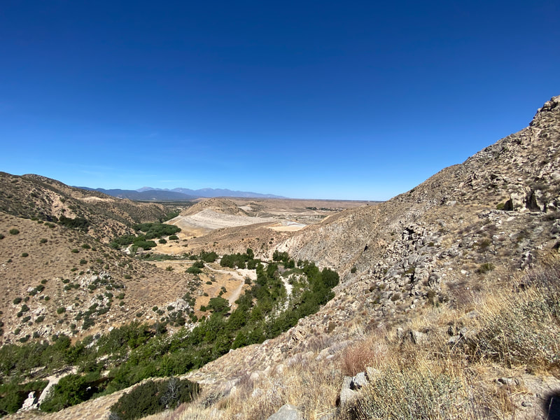
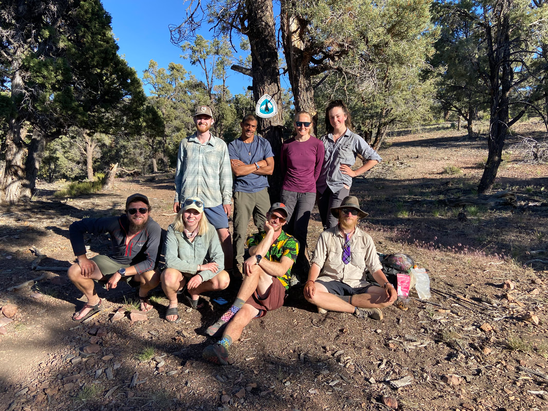
Crossing under I-10 was a big deal, it signified 200 miles walked and it was a gateway to another section of trail with more excitement ahead. The next several days would be a combo of desert creek walking and traversing high pine forest ridges at 8,000’ in elevation. The next gateway was I-15 in a little over a week’s time. It would signify the start of one of the hardest sections of trail in my mind, the Mojave. That, luckily, is still a week away. Saturday May 22nd, we crossed under I-10 and hiked up into the Mesa Wind Farm. There was an unexpected water cache there in a sun/wind shelter and it made a wonderful place to cowboy camp for the night. We spent the evening enjoying the WiFi from their trailer and huddled up hiding from the wind. The next day would be a fun but hard day. We awoke and hit trail by 6AM, there was a decent climb right out of camp but before I knew it I was above the wind farm and on my way into the Whitewater Preserve. We were treated with our first big river of the journey and some great final views of San Jacinto, where we had come from. Eventually the trail made its way down to Mission Creek and the next 12 miles of trail would work its way up the creek from 3,000’ in elevation to the spring at the top near 8,000’. On the morning of the 24th we finally finished the ascent to Mission Spring at just over 8,000’ of elevation. The desert scrub had changed to pine forest, its was a beautiful treat and I was happy to be back in the good mountains. We would spend the rest of the day collecting friends who were in front of and behind us. We found Naners again, re-hiking a section with a friend of his and we had a really solid group to camp with that night. The next day we would find ourselves wandering into Big Bear for packages, pizza and resupply. Our friends Ariel and Romeo offered us an awesome place to stay so we enjoyed a pool, showers and terrific company. On the 26th we found our way back out to the trail. It was an easy 9 miles to camp and it was a weird feeling going back out. It seemed that our bubble had popped in Big Bear. We were leaving friends behind to zero and other friends had already moved ahead and even more so, others were getting off the trail to head north and skip the Mojave. It was a weird evening thinking about the coming weeks but I was excited to enjoy the mountains before we hit the bad desert heat. The next morning it was cold but we had a long 26 mile day ahead of us to pass mile 300. It was rolling hills and pine forest for the first half of the day as we finally hit water and the hills began to turn to desert scrub. I could see Mt. Baden-Powell in the distance challenging me to come climb it’s slopes, we’d be there in 3 short days after hitting Cajon Pass, it would be a tough climb but for now I’d enjoy a night in the hills with the sound of Deep Creek running in the canyon below. The following day we hit the Deep Creek Hot Spring by 9AM and enjoyed a quick soak of the sore muscles. By 11AM we had hit the Mojave River Dam and by noon we were 18 miles into the day enjoying a nice siesta under a tree. We met new friends and ran into our first hiker bailing out from the trail. By 5PM we had covered 26 miles and were hanging out by Silverwood Lake. It was a good day and a nice feeling to be just 15 miles from I-15 at a beautiful spot by water. I’d wake up early the next day, watch a beautiful sunrise and walk those few miles to the next landmark of my journey north. I’d enjoy McDonald’s, Subway and a bed at the Cajon Pass Inn all while knowing the climb out of Cajon Pass to the summit of Mt. Baden-Powell was ahead of me. All while knowing it would probably be in the top 5, if not the number one, hardest days of the entire PCT for me.
0 Comments
Leave a Reply. |
THE PCTThe PCT stands for the Pacific Crest Trail, a 2,653 route extending from Mexico to Canada along the west coast of the United States. Every year several thousands attempt it and only a few hundred finish. Archives
January 2022
|
 RSS Feed