|
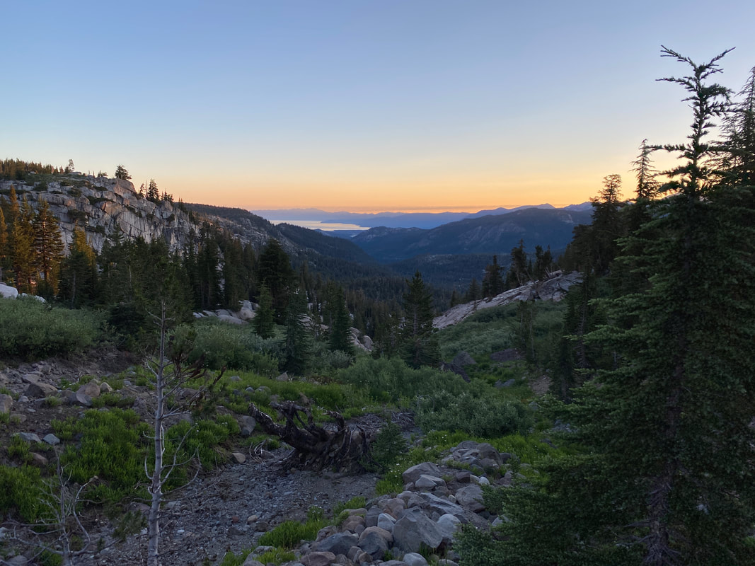
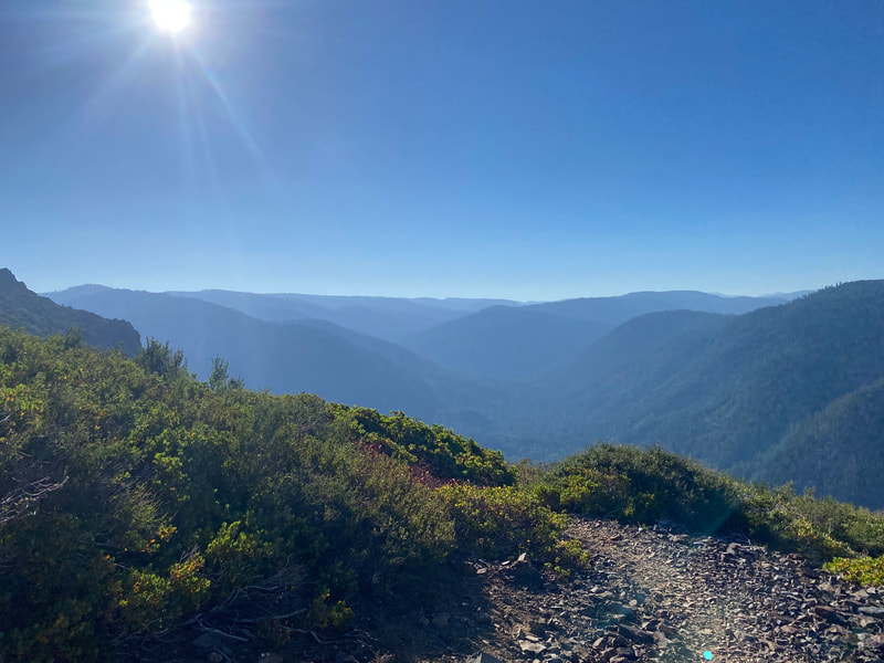
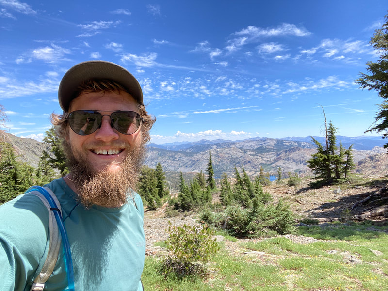
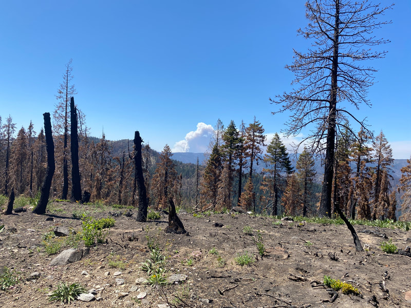
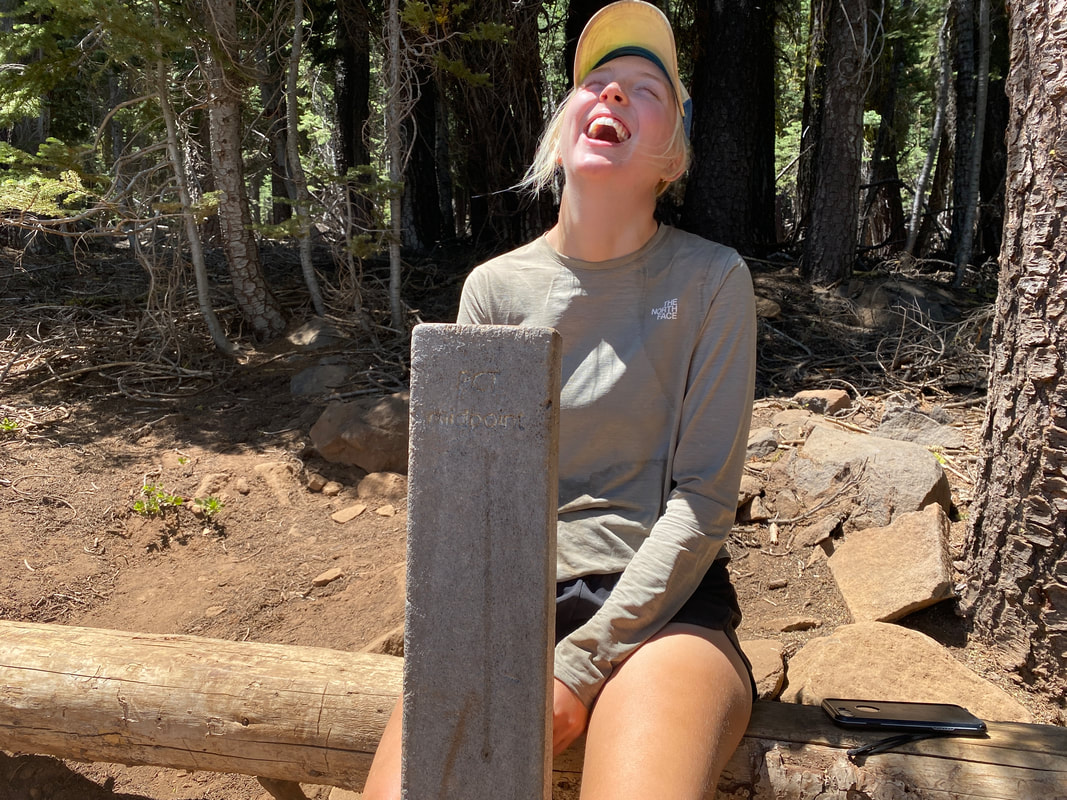
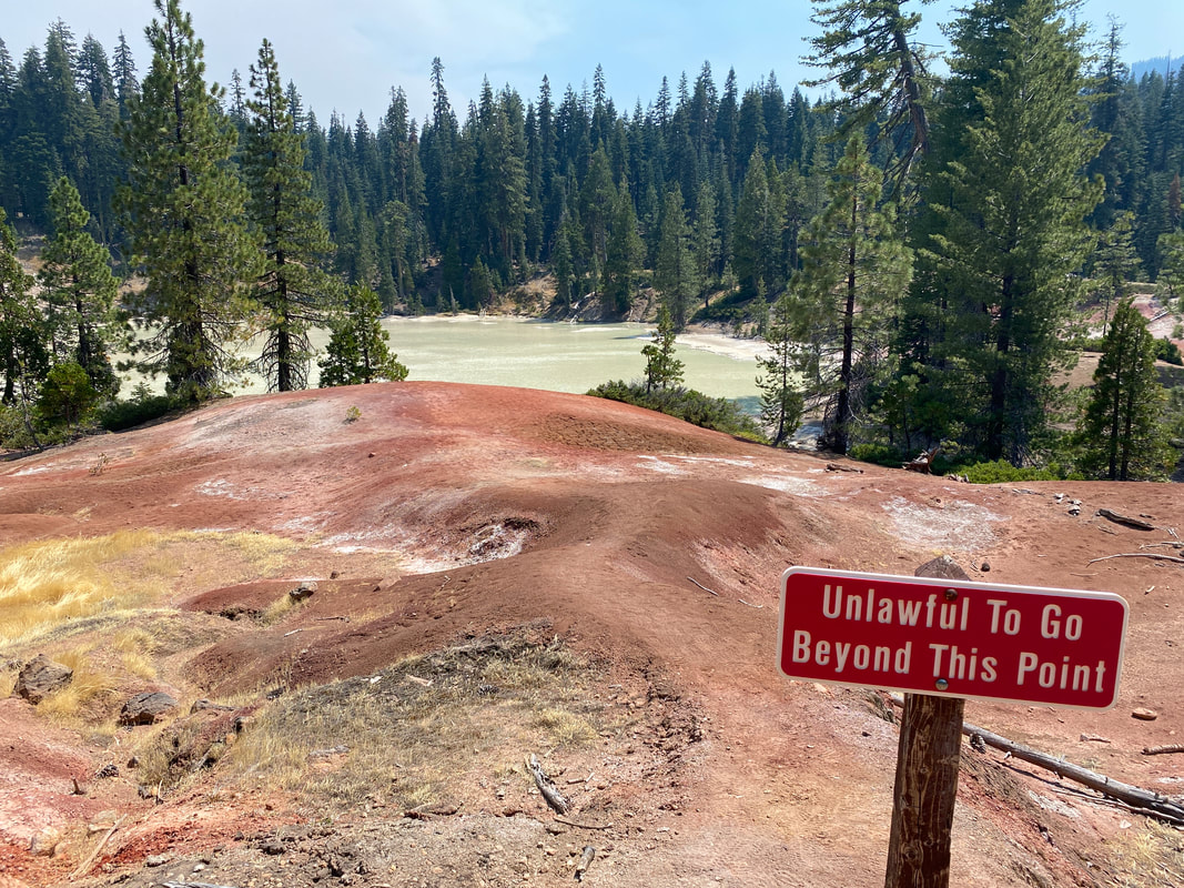
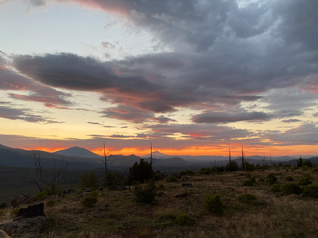
The past week has been a whirlwind, it started at mile 1200 and ended past mile 1400. After getting to Sierra City, enjoying an afternoon in town and trudging on I found myself climbing up the Sierra Buttes the morning of July 14th. My bag was heavy but I was excited to finally be in NorCal and beginning the end of this state. The views for the day were beautiful and we watched the smoke billowing from 3 separate fires in surrounding valleys. We made new friends in the bubble we found in Sierra City that first day and I enjoyed that a lot. In the evening we sat by A-Tree spring and I made pancakes for about 10 happy hikers. The next day we hiked through an area that had burned the previous year. What had probably been a wonderful hike down to the Feather River was black, burnt and dusty as hell. I watched a fire to the north for a large part of the day wondering if it was the Dixie Fire near the trail and spending a good bit of time imagining what it would be like near that fire. I checked my phone for signal just before we dropped off the final ridge of the day and noticed a new notification on the PCTA page. The fire I’d been watching was indeed the Dixie Fire and it had begun moving towards the trail. The PCTA and National Forest Service had decided to close the trail from Bucks Summit all the way to mile 1301. The nearest spot to easily hitch back to trail was mile 1328. It meant we’d have to skip close to 50 miles of trail which was definitely a bummer but luckily it was a good spot for a closure to happen. The town of Quincy was a stones throw away and a bus ran from there to Chester making the logistics of getting north that much easier. By the end of the 3rd day we had gotten to Quincy, filled our bellies and bags with food and found a trail angel in Chester who let us camp in her yard. Everything worked out but this meant we were catapulted ahead of schedule by two days and would probably be getting to Drakesbad before our packages. The plan we hatched was to hope the USPS was feeling speedy and hit the trail from CA-36 south to tag the PCT Midpoint marker (a symbolic moment on our journey north), then the next day we’d head to Drakesbad and hope our packages arrived earlier than expected. It was an exciting moment to hit the midpoint marker, it meant halfway in miles and over halfway in time since we planed to do bigger miles for much of the rest of the walk. Everything worked out great in those two days. The trail was cruisy, everything I was trying to juggle getting done in Cincinnati was being taken care of and our packages arrived early. We entered Lassen National Park almost four days sooner than we’d expected. Time was flying. The mountains were smokey from the Dixie Fire, every once in awhile ash would rain down or it would seem like you were hiking in a dense fog. Sometimes of the day, the sun would seem dimly orange. It was an odd experience hiking in forest fire smoke. We’d spend the next four days in and out of the smoke cloud of the Dixie Fire, a reminder of what was going on behind us. Leaving Drakesbad we wandered our way through Lassen National Park, we saw bears, alpine lakes, ancient cinder cone volcanos and massive burn scars on the landscape. It was nice to check another National Park off the list. By the end of the day we had explored lava tubes, gotten lunch from a deli in Old Station and covered over 30 miles. We’d moved fast and the fun wasn’t over. We ended the day camped out on Hat Creek Rim with a magnificent view of the sunset and Mt. Shasta off in the distance.
0 Comments
Leave a Reply. |
THE PCTThe PCT stands for the Pacific Crest Trail, a 2,653 route extending from Mexico to Canada along the west coast of the United States. Every year several thousands attempt it and only a few hundred finish. Archives
January 2022
|
 RSS Feed