|
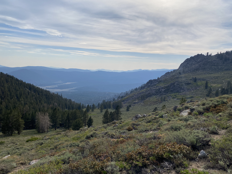
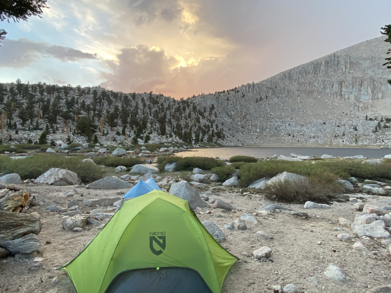
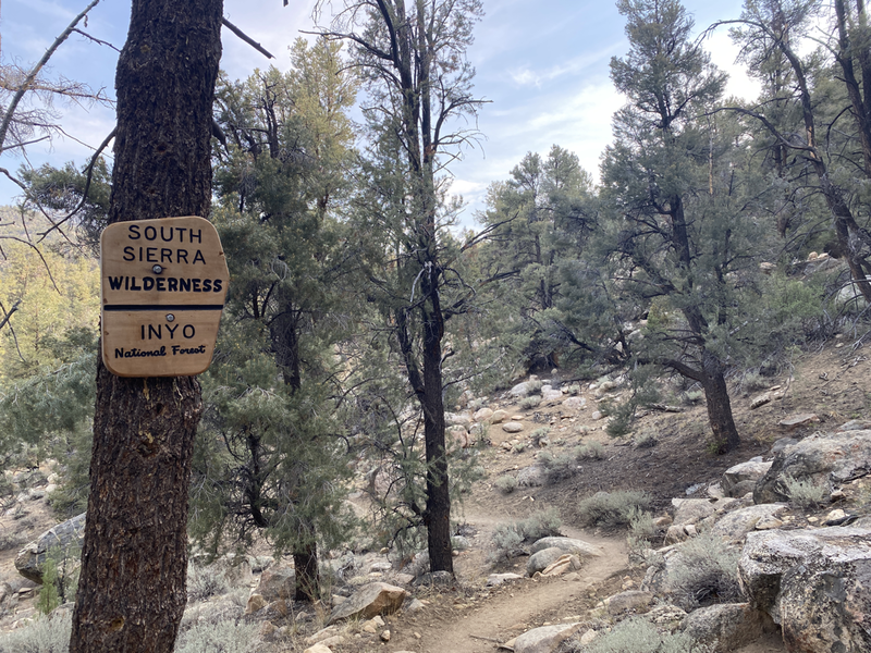
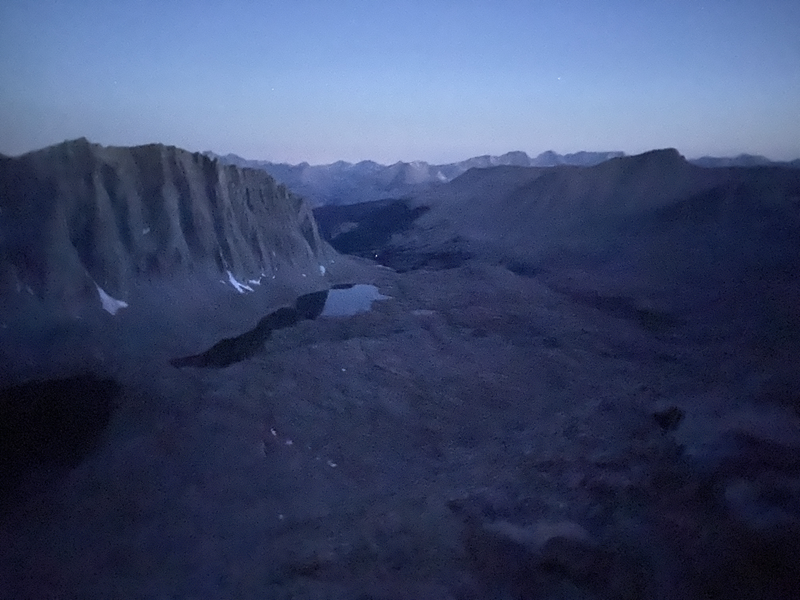
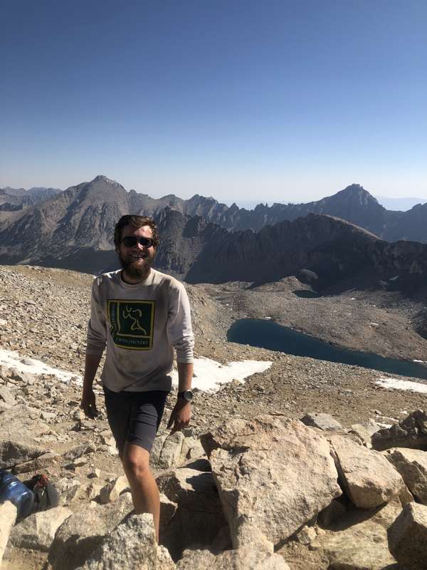
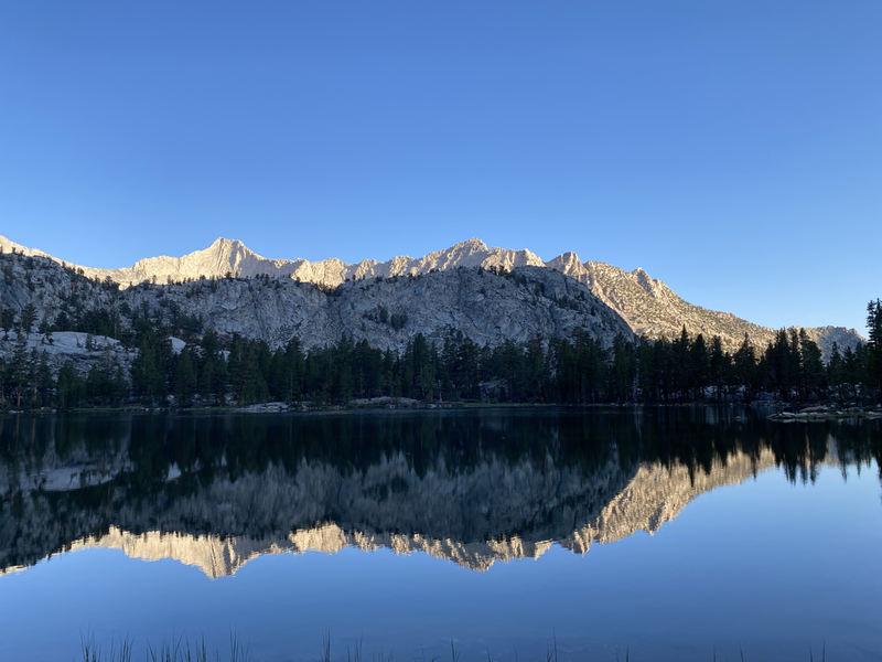
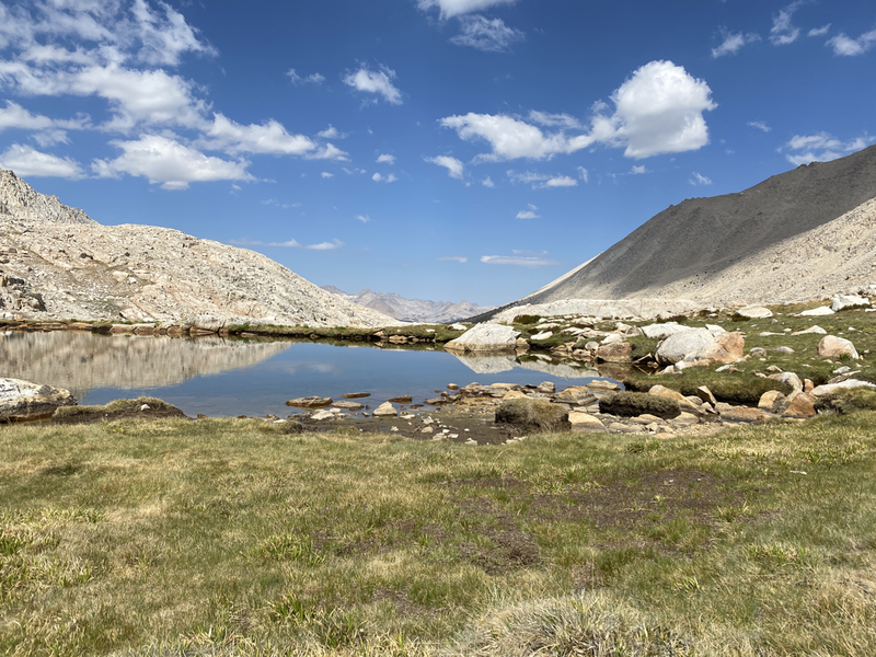
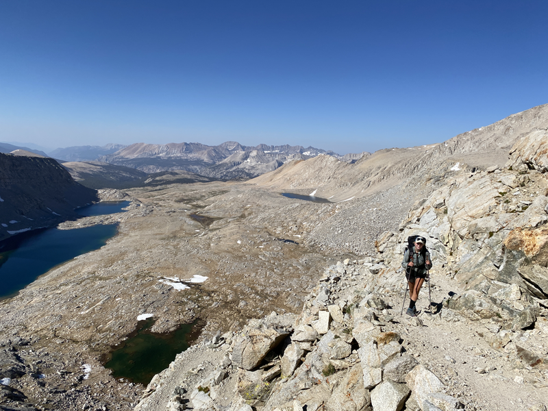
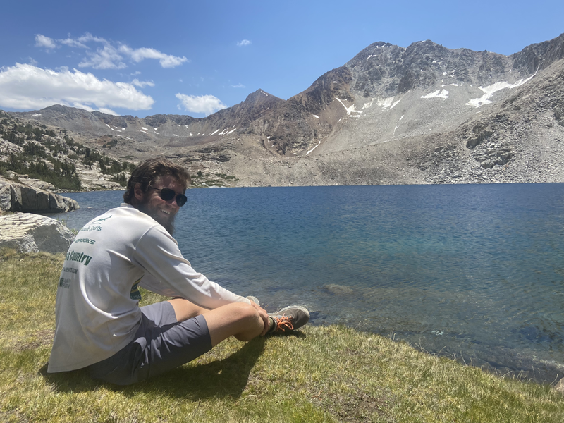
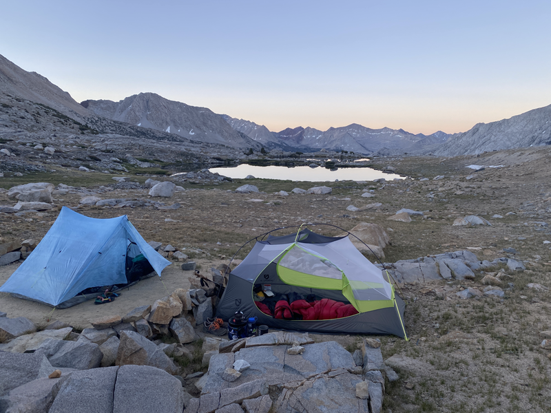
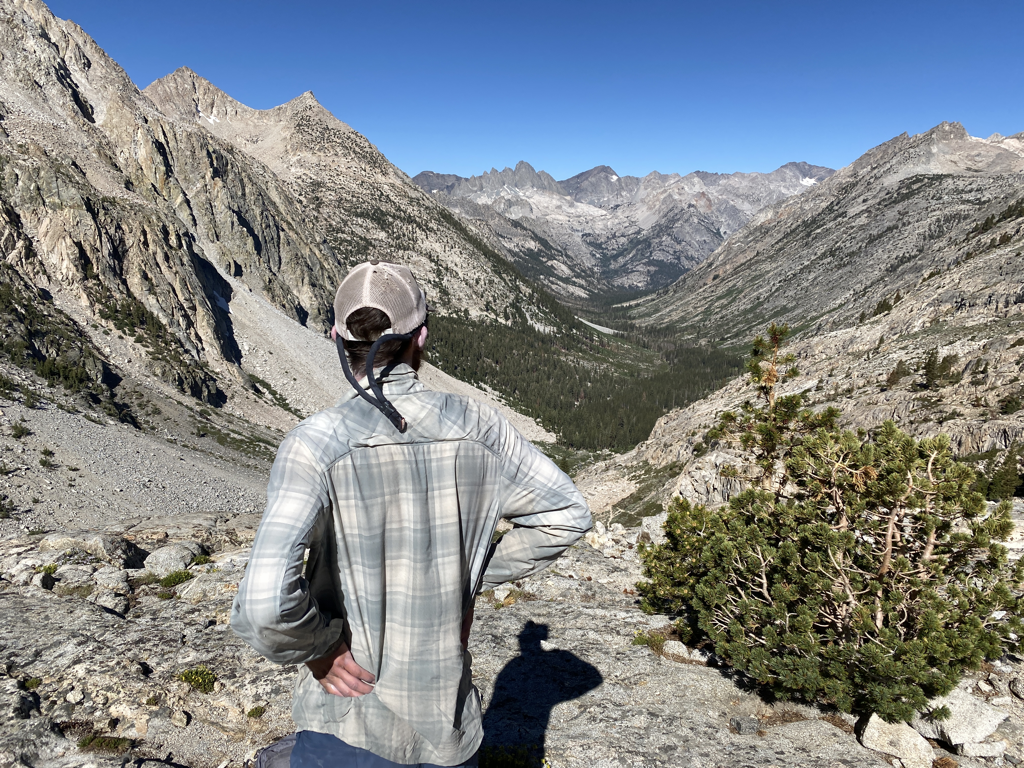
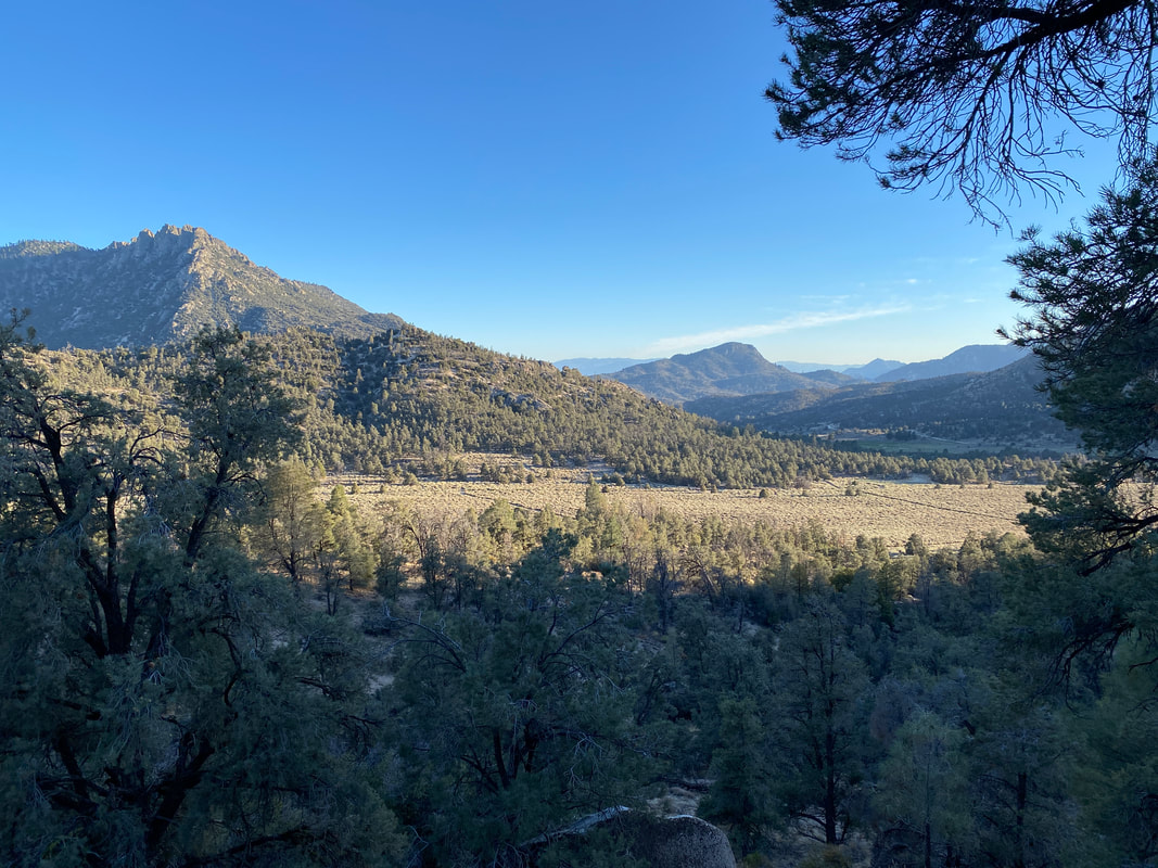
I think the section of trail I’ve been most excited for is a split between the High Sierras and northern Washington. Finally getting to Kennedy Meadows meant that I was about to enter the High Sierras and get to enjoy one of the best sections of trail. There aren’t words to describe these mountains to be honest. I thought I might be able to compare them to the Sawtooths in Idaho or the Wind River Range in Wyoming but something I’ve learned is that sometimes you can’t measure things up against each other. The Sierras are big, tall, expansive, diverse mountains. As of writing this, I’ve only walked about a quarter of the range with so much more to go. I’ve crossed alpine meadows, swam in a different lake every day, summited the tallest peak in the continental US, been harassed by mosquitos, passed the 800 mile mark on the PCT and had many wonderful experiences. At the end of the Sierras, probably somewhere past Sonora Pass I plan to put together a video to share what I saw. I don’t think I could write the last nine days of my life out that well... To go into detail about everyday on this section would be far too much work cause so much did happen. To simply sum it up, I did a 9 day food carry from Kennedy Meadows to Vermillion Valley Resort. On day 4 I summited Mt. Whitney (14,503’), the tallest peak in the continental US, I started at 2:45AM and reached the top a little after 5:45AM. There were 6 mountain passes, mostly around 12,000’. I crossed Forester Pass (13,200’) on day 5, marking the highest point on the PCT. We walked 173 miles with 34,000’ of elevation gain and it has been one of the hardest yet most beautiful stretches of hiking I have ever done. The weirdest thing on this section was definitely food scarcity. Hiker hunger had finally set in for us all and even though we drew back the mileage, the elevation still made you wanna eat. On top of that there’s not a great way to get all the calories you need for 9 days of walking mostly above 9,000’ in elevation to fit in a bear can. We had gone from water shortages in the desert to food shortages in the mountains. Luckily after this section, the next few weeks have ample opportunity for food and recovery from what was definitely an awesome but difficult section of the PCT.
1 Comment
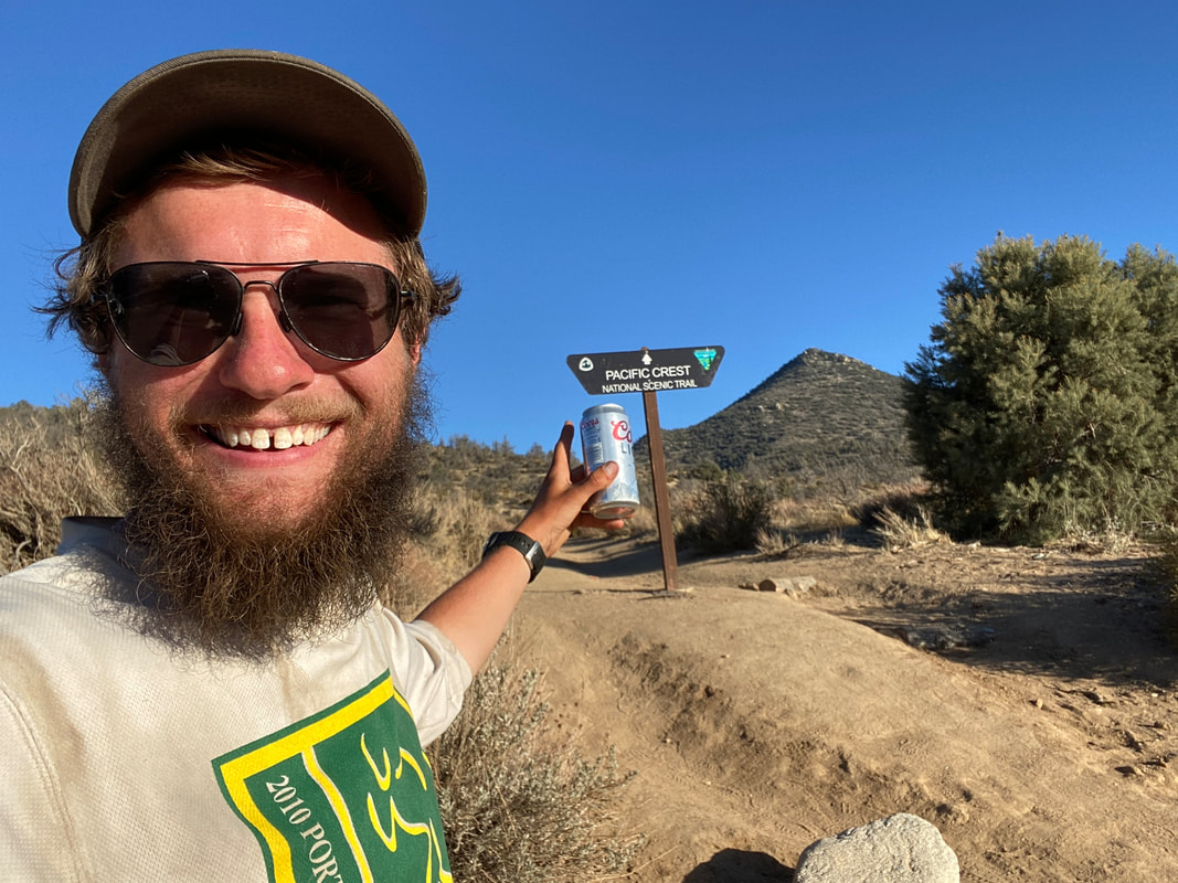
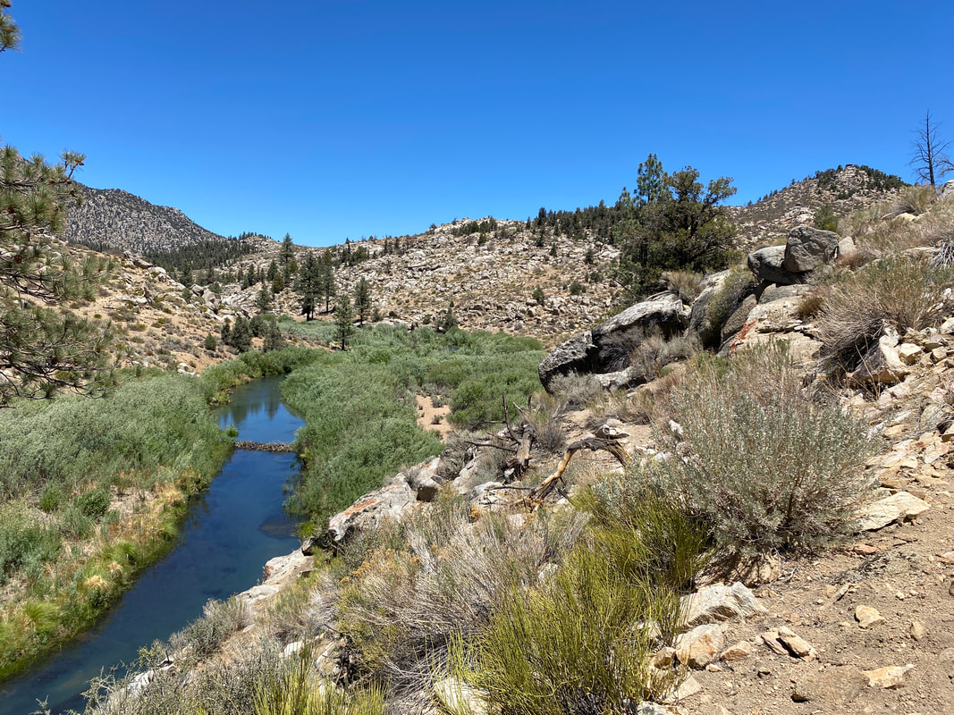
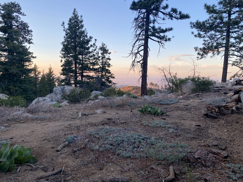
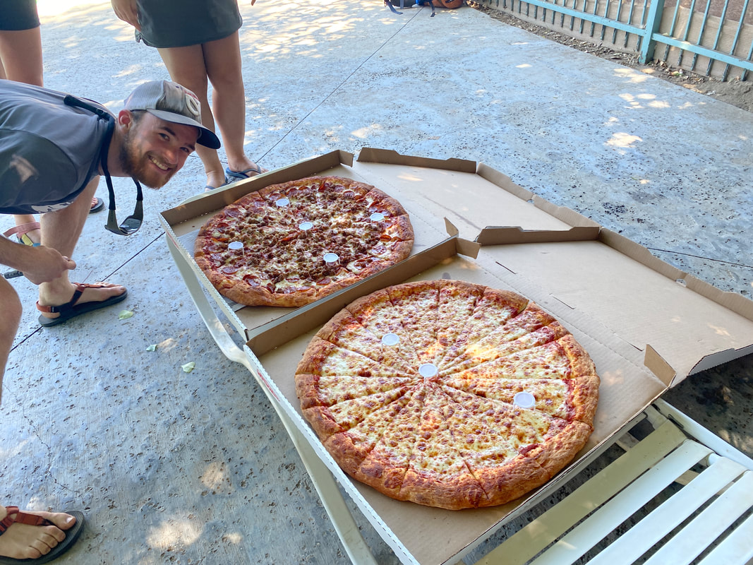
Climbing up from Tehachapi was a breezy cold day. We had gotten an unexpected zero in Tehachapi so the legs were fresh and ready to go with new shoes to boot. I was excited to be leaving the Mojave, although it and I would have another meeting about 3 days later. It was probably 30 degrees with 40 mph winds so the climb made me feel as if I was on a mountaineering trip. Eventually the ridge flattened and found its way to the first of a series of springs that would keep us alive the next several days, funny enough, although we had entered the Sierra Nevada Mountains this was supposed to be one of the driest sections of trail. That first day we went further than expected and that would set the pattern for the next several days. Each day we would make it a bit further than we thought we would. We would cover a bit more ground cause of a need of water or a lack of shade or whatever other reasons. On the third day out we covered 31.5 miles with a 20 mile water carry and some decent elevation gain. That day ended with us at Walker Pass, an odd boundary between the Sierras and the Mojave, this place where the two meet in an almost perfect mix. I had been to Walker Pass once before, it was a wholly different affair this time. The last time the mood of the hikers was somber, it was early season and many were contemplating flipping north cause of high snow in the High Sierra. This time it was celebratory, we were exiting the desert, there was nothing holding us back from the mountains. There were 5 different trail angels that day doing magic, I had more beer, pizza and snacks than I had had in the last 400 miles. It was a good day to end my biggest day ever to this point and also one of my driest days. The next two days we would work our way into and follow a massive bubble the last 50 miles to Kennedy Meadows. Right before the promised land we’d set our eyes on the Kern River for the first time along the trail. It signifies the end of the dry desert and the official start of the High Sierra. I hollard and ran straight into that river when I saw it... The following days would bring us rest and relaxation in Kennedy Meadows before a want to get out in front of a 100 person strong bubble and a hope to get up into higher elevations to beat the incoming heat wave made us hit the trail again. This would be the start of what I had hiked 700 miles looking forward to. This would be the start of my two and a half weeks traversing the High Sierras.
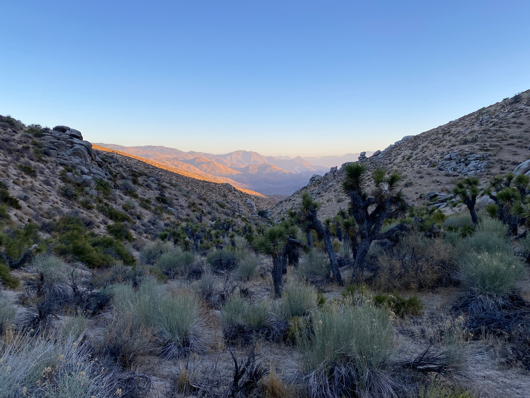
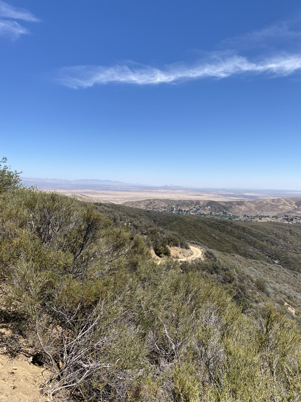
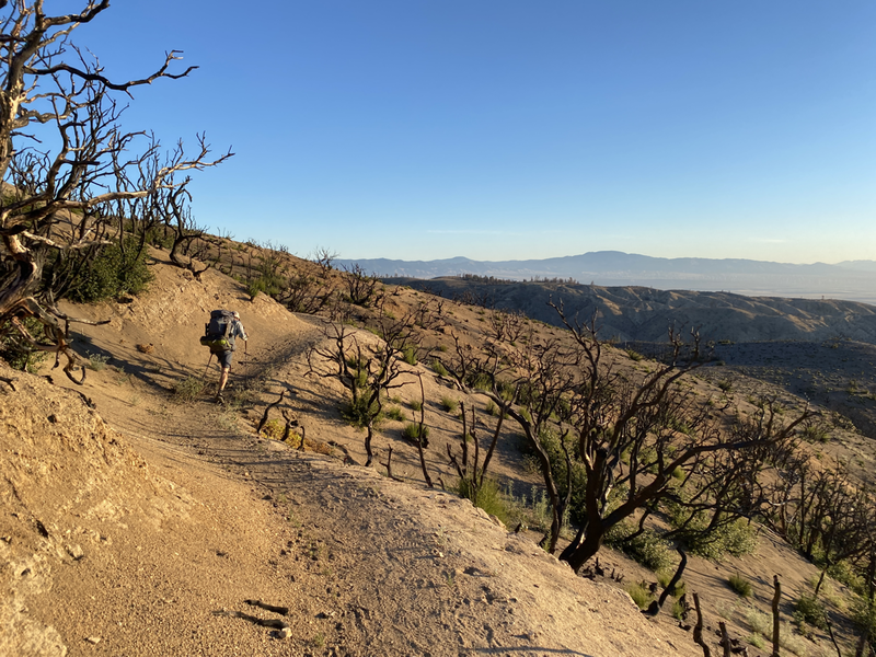
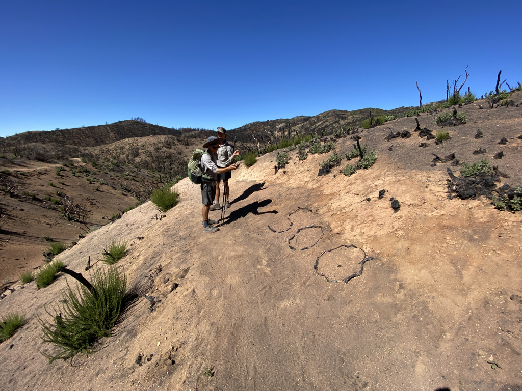
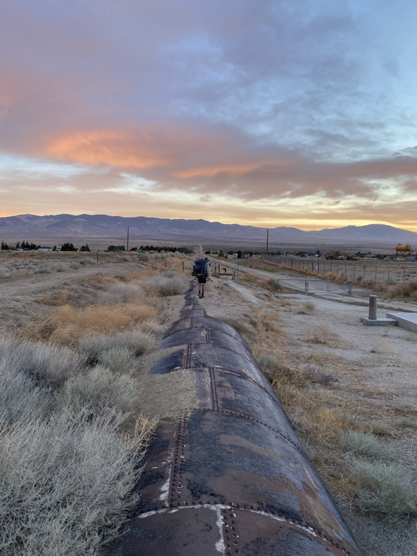
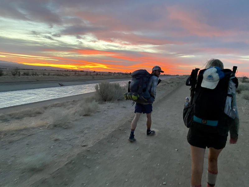
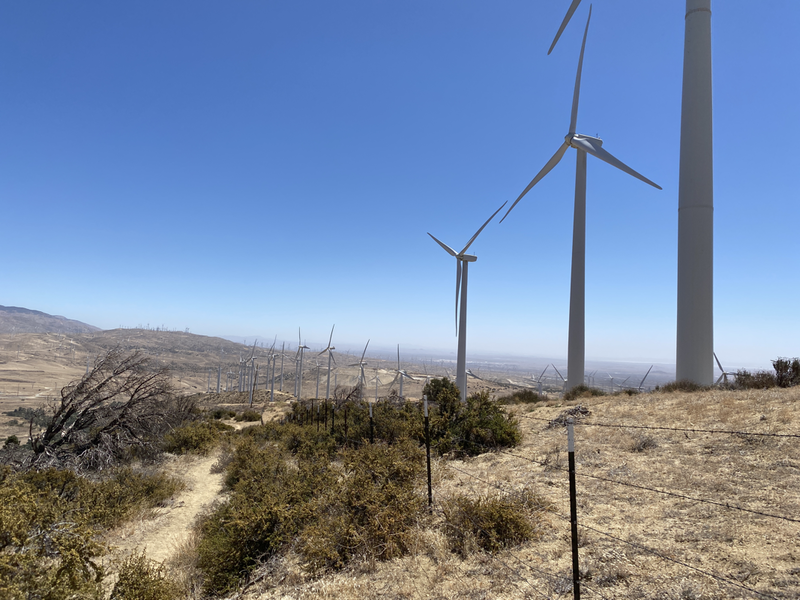
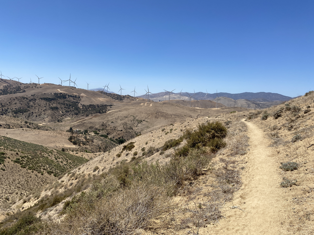
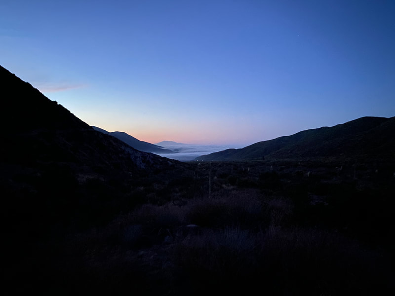
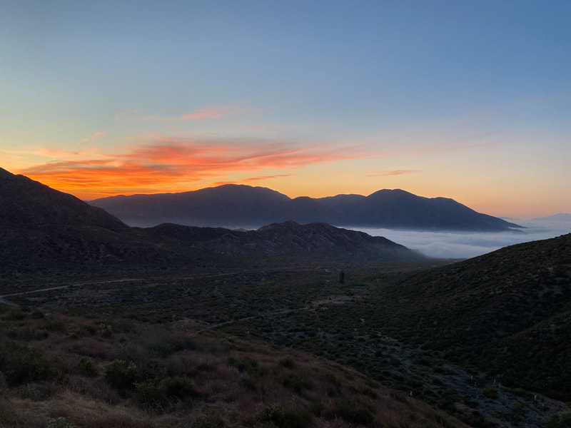
Not really though, it was fun...Leaving Acton was one of the weirdest points in my hike so far mentally and physically. The two days prior to coming to Acton my legs hadn’t been feeling the greatest. A constant rubbing of my left ankle against my shoe the past few days had led to some tightness in my knees that didn’t feel too hot on the downhills. On top of that, the KOA was a bit of a vortex and seeing so many friends hike through made me want to continue to hangout with friends. That meant I needed to move on though. I was nervous going into this section of trail, the heat, the continued wearing on my body and a bunch of other things just felt like they were piling up. There was a big part of me that wanted to bounce directly to Kennedy Meadows and be done with the dry desert. There was another part of me that honestly thought long and hard about being done with this adventure. I was honestly so scared of failure I didn’t want to continue moving forward. I woke up and walked out of that KOA at 6AM on Friday, June 4th. We made our way to Agua Dulce for margaritas and tacos, it was a good lunch. A group of us stayed in town for the afternoon to avoid the heat of the day but eventually headed out around 4PM to finish the climb out of town. It was hot and long but it wasn’t a bad hike. Eventually we got to water and found a place to shack up for the night, cowboy camping under the stars. The next day was full of small climbs and good views. As the day went on and we progressed up the trail I could feel the cool ocean breeze coming in. It picked up after each climb until we found ourselves on the top of the ridge at the beginning of the Angeles National Forest 2020 burn area. We found a spot with a little wind protection and again, ended up cowboy camping under the stars. Plenty of stretching, plenty of laughs and plenty of friends passing by on the trail that night. The next few days we went further than expected each day. We ended one day 6 miles further at Hikertown which meant we walked the aqueduct in the morning and got an amazing sunrise. I was actually cold at one point hiking the aqueduct... We pushed further towards Tehachapi than expected, which meant we got an unexpected zero day. Our attempts at planning were showing us that our bodies were ready to do more which was an exciting thing to see before we would head up towards Kennedy Meadows and on into the Sierras. The days had been full of windmills, beautiful views, breathtaking terrain and some very cruisy miles. The Mojave hadn’t been that bad. I lucked out on weather, I lucked out on the people I was with, I lucked out that everything on my body was feeling good for the most part and most of all, I lucked out that I am here doing this and am so close to making it out of the desert.
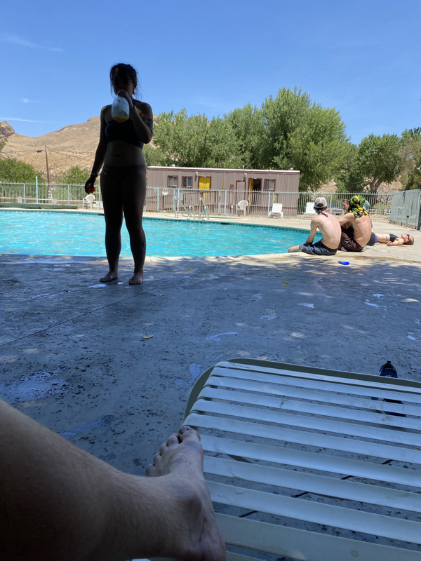
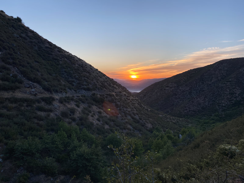
I have obsessively thought through this hike so I understood the challenges of each section (click here for proof). There were a few days that I found that would be harder than others, one of those was the climb out of Cajon Pass at I-15. I knew it was nearly 8,500’ of gain to the next water and I knew it was a hot exposed section of trail. It was something that had sat on my mind for awhile. I thought it would be the hardest day I have ever hiked. I played it up a lot in my head. We began at 3AM and covered over 28 miles that day. It was rough, it was tough, but I made it to the top. That ascent showed me that I can meet the challenge of hard days and that I can figure out the issues in front of me. It also showed me that the past 20 some days of hiking had strengthened me. To get done with that climb was a weight off my shoulders, it was another hurdle of the Southern California desert out of my way. The next challenge to face was the crossing of the Mojave. It’s the last gate to Walker Pass and the foothills of the Sierra. I’m excited to get there, I’m excited for a break from the desert and in a little over two weeks I should be arriving at Kennedy Meadows, it’s a weird feeling... After leaving Cajon Pass and summiting Mt. Baden-Powell, we quickly found ourselves in Acton after some fairly easy miles. There’s a heat wave coming through the next few days so we decided to take our first zero of the trip. The weather outlook for the Mojave is windy and 80 (perfect weather), so the week ahead should be pretty solid. Today I’m sitting in Acton, California by a pool. Very happy to have come this far and very excited for a break for the next day and a half. I’ll massage sore muscles and take care of the feet. I’m 450 miles into this journey and the best parts of it are just ahead.
|
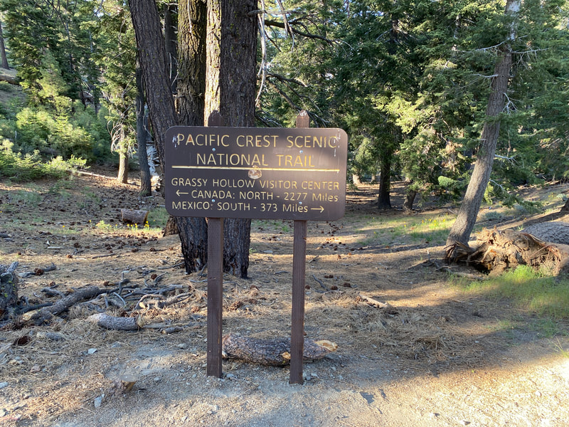
THE PCTThe PCT stands for the Pacific Crest Trail, a 2,653 route extending from Mexico to Canada along the west coast of the United States. Every year several thousands attempt it and only a few hundred finish. Archives
January 2022
|


 RSS Feed